Big skies, flat ground, and one of the longer views on the south coast. The Pevensey Levels stretch inland. The English Channel sits a short walk south. Green space is around 300 metres from the average postcode. Blue space is closer than that. The surrounding area is the reason people live here, and it's the reason they stay.
Green-space access is genuinely strong. The average postcode sits about 300 metres from a park or open green area, and nearly eight distinct green spaces fall inside a one-kilometre radius of the typical household. Blue space is even closer, averaging under 200 metres with more than forty separate water-fronting spaces inside the same one-kilometre radius, because the coastline, the Pevensey Haven river, and the drainage-board channels crossing the Levels all count. The National Cycle Network runs close by, with about 42% of postcodes sitting within easy reach of a route and a typical distance of around 770 metres. For a village of around 10,860 residents, that is denser green and blue provision than most of the country manages, and it is the aggregate effect of being surrounded by a nature reserve rather than a housing estate.
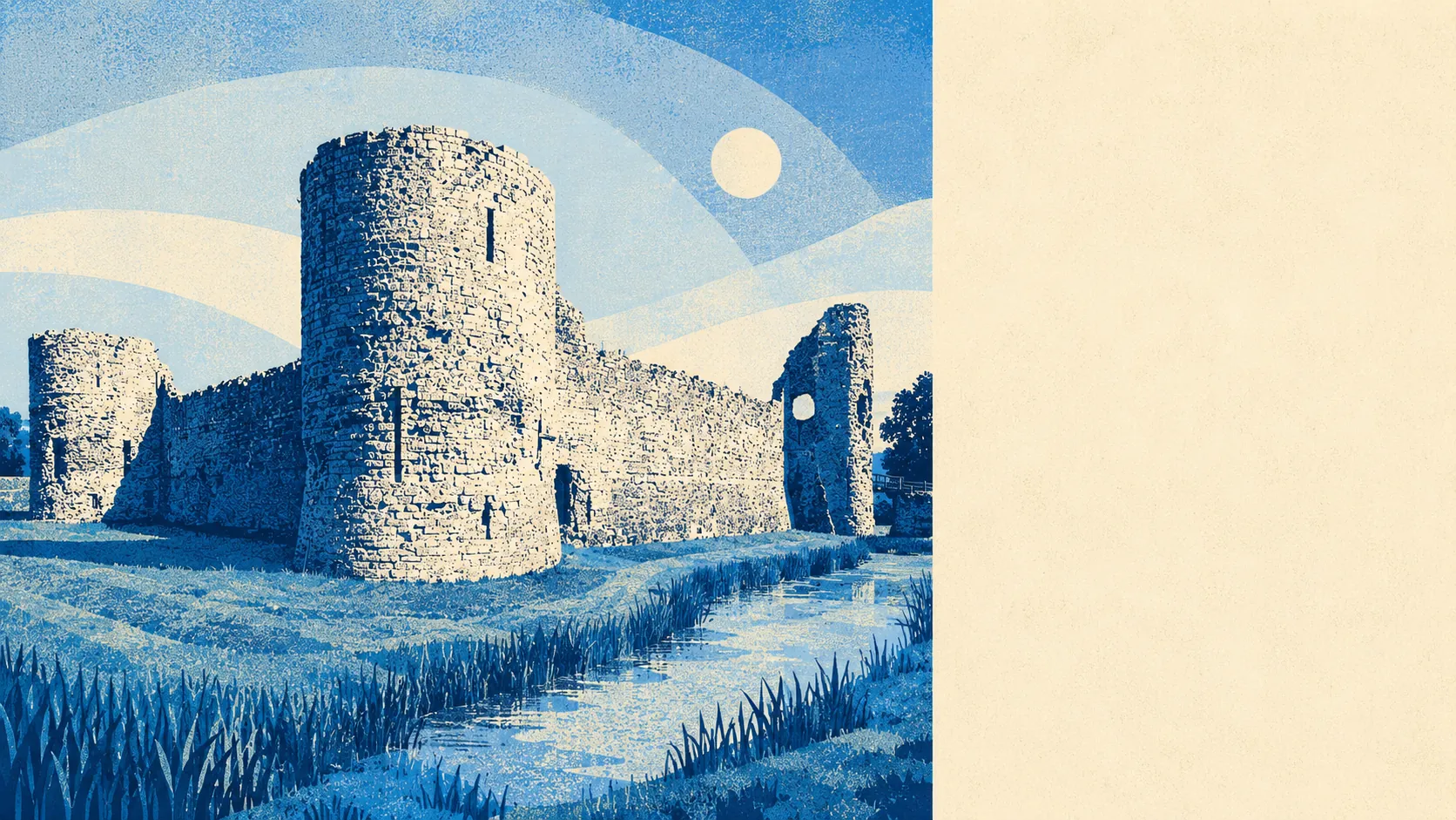
The character of the surroundings is what happens when a Roman fort, a medieval castle, and a working drained marsh all share the same bit of ground. The Pevensey Levels sit as low, flat, open landscape running north and east of the village, jointly owned as a nature reserve and designated for the rare plants and invertebrates that live in the fen. The 1066 Country Walk begins here and runs east, giving the parish a long-distance footpath as a front door. Pevensey Bay sits on the shingle beach south of the historic village and functions as a seaside resort in miniature, with two Martello towers from 1806 as remnants of the Napoleonic-era coastal defence line and the older Castle Hotel as the anchor. Immediately adjoining are Westham, which forms the working half of the parish, Stone Cross, which grew up as the newer housing on the Eastbourne road, and Hankham, which occupies the older hamlet end. Slightly further out are Normans' Bay to the east on the coastal line, Hooe further inland at the northern edge of the Levels, and the small settlements of Rickney, Chilley Green, Wannock, and Friday Street scattered across the drainage board area. Towards Eastbourne the settlements begin to run together: Langney, Langney Village, Roselands, Hampden Park, St Anthony's Hill, and the Crumbles reach the coast on one side, while Polegate, Lower Willingdon, and Ratton Village anchor the corridor inland. Historic anchors punctuate the whole zone: Pevensey Castle as a Saxon Shore fort with a Norman keep inside, twenty-plus Bronze Age barrows on the Downs edge, medieval moated sites in the marsh, and a scattering of Martello towers along the beach.
Amenity is what a coastal village with a nature reserve on one side and the sea on the other actually needs. There is a good spread of food outlets with a strong hygiene record, a handful of pubs and restaurants clustered in the historic core, and enough independents to keep the daily shop honest. The main working centre for most residents is Eastbourne, reached in around fifteen minutes by car, with all the retail, healthcare, and mainline-rail infrastructure that a proper town provides.
The surrounding area scores four and a half out of five and deserves it. This is a village embedded in landscape rather than perched on top of it, and the landscape is the product.