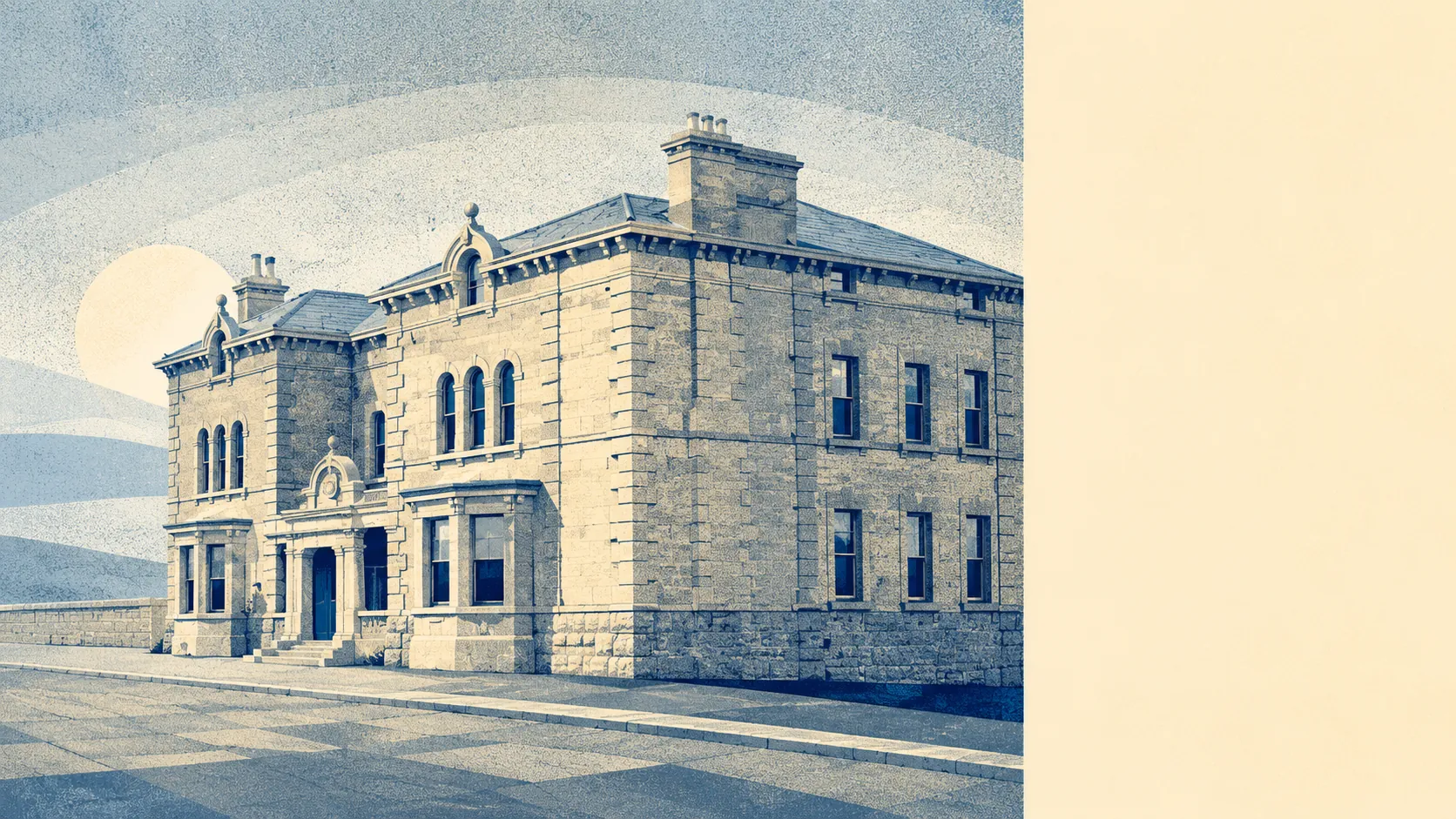
Green, working countryside, and none of it dressed for visitors. Open space starts a couple of minutes from most front doors, and there is a great deal of it. Water is scarcer and further out. Nothing here carries a protected-landscape label, which is a large part of why it stays quiet. This is old coal country with prehistoric barrows in the fields rather than a designated view with a car park and a gift shop.
Access to green space is the standout. The average postcode has about 13 separate green spaces within a kilometre, with the nearest roughly 170 metres away. That is not a park at the end of the village that everyone shares. That is open ground in most directions, close enough that a dog gets walked without anybody starting the car.
Water is the weaker half of the picture. The nearest blue space averages about 900 metres from a postcode, with roughly 4 within a kilometre. Hilltops are not where rivers happen, and anyone moving here for a waterside walk has misread the geography fairly badly.
For cycling, the National Cycle Network sits about 1.8 kilometres out on average, and no postcode in the village counts as close to it. There is no ancient woodland in the area at all, which is a quirk of a landscape that spent two centuries being dug up rather than left alone.
The amenity mix across the wider postal district runs to 286 shop premises, 53 pubs and 25 restaurants on the rating list. Those cover a broad area including Bath, so treat them as the range within reach rather than a description of the village high street.
Air quality across the council area was measured at about 6 micrograms of fine particles per cubic metre in 2024, which is the figure to note and leave alone rather than build a claim on.
The character comes from what surrounds the village rather than what sits in it. Carlingcott is attached at the north-west edge, and Camerton, Dunkerton and Shoscombe are all a short run out. Radstock, Midsomer Norton and Welton, Timsbury, Wellow and Combe Hay carry conservation areas, so the historic street scenes are neighbours rather than residents. The deeper history is genuinely good: Stoney Littleton long barrow, the Romano-British town at Camerton, a Roman villa at Upper Hayes and a hillfort near Tunley Farm. The area was interesting for several thousand years before anyone found coal in it.
Private outdoor space is where this village quietly beats most places. Across its six small areas, gardens amount to roughly 220,000 square metres for every 1,000 residents. Public green space gets talked about on pages like this one, private gardens almost never do, and here it is the more relevant number for anyone weighing up a trampoline, a shed or a vegetable patch.
Commercially, the village itself carries 80 rateable premises on the valuation list. That is the size of its own trading footprint, and it is worth reading as premises rather than as a directory: a unit on the list is a rateable address, not a shop that opened this morning.
On eating out, 24 premises in the area hold a food hygiene rating, and about 75% of them sit at the top score, with about 8% at the lower end. That is a decent showing without being remarkable, and which is which is a question for the register rather than this page.
Worth stating plainly: no area of outstanding natural beauty touches the village, no site of special scientific interest, no ancient woodland. The Cotswolds designation begins over towards Wellow and stops short of here. That absence is not a criticism. It means the countryside around Peasedown St John is used rather than curated, and nobody arrives on a coach to look at it.
The surroundings are the best thing about this village by a distance. Green space almost at the doorstep, gardens most towns would envy, and a landscape nobody has thought to put a visitor centre in.