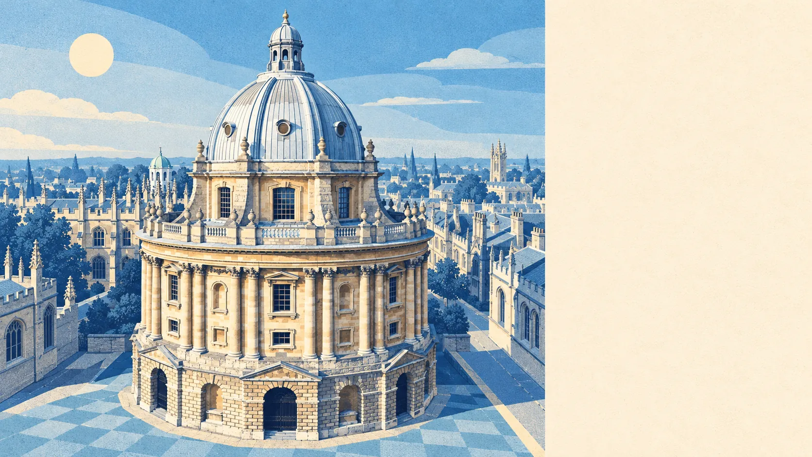
Oxford is unusually green for a city, with grass and water within a few minutes' walk of almost every front door. The average home has around 30 green spaces within a kilometre. The nearest is about the length of two football pitches away. Rivers, streams and the canal are rarely much further. Plenty of country towns have less countryside than this.
On average, an Oxford home is about 130 metres from the nearest park or green space, with about 30 within a kilometre. Those range from the formal to the half-wild: the University Parks, Cutteslowe Park, the Botanic Garden and the open slopes of Shotover. Port Meadow, the big common north-west of the centre, still has burial mounds listed among its scheduled monuments.
Water is close too. The nearest river, stream or pond is on average about 350 metres from home, and the average home has about 47 bodies of water within a kilometre. The Thames, the Cherwell, the Oxford Canal and the side streams around Osney and Botley wind through the city, which is why so many walks here end at a lock or a footbridge.
The National Cycle Network is on average about a kilometre from home, and about 45% of postcodes are close to it. There is no ancient woodland inside the area, but Wytham and Shotover are on the doorstep for anyone who wants trees older than the colleges.
On the valuation office's rated-premises count, Oxford has about 1,140 shops, 197 restaurants and 116 pubs. Brewing ran through the city for centuries: Morrell's Lion Brewery closed in 1998, and in 2002 it reopened as luxury apartments, which is about as Oxford a fate as a brewery could have.
Oxford City Council's area recorded fine-particle pollution of about 7 micrograms per cubic metre in 2024.
The feel shifts every mile or so. The centre is colleges, the Covered Market and tourists. Jericho and Osney are tight Victorian streets beside the water. Summertown has the shops on Banbury Road and a lot of independent schools. Headington and Marston sit up the hill and along the London Road. Cowley, Rose Hill and Blackbird Leys house the working city in the south-east, while Wolvercote, Binsey and Iffley still read as villages that the city grew around. The Oxford Green Belt is what keeps the fields at the edges, and it also gets the blame for the house prices, so the countryside on the doorstep comes with a cost.
Private gardens add about 77,000 square metres for every 1,000 residents, on top of the parks. In a city where extending the house usually means asking the council first, a garden is the one extra room you don't need permission for.
The valuation list for the area holds 4,560 rateable premises, and on its own category codes offices are the largest group at 1,172, with shops close behind at 1,108. Those are premises on the rating list, which is not the same as businesses currently trading, and they show a city that works at desks as much as it shops.
Of 1,272 food businesses with a hygiene rating, about 87% hold the top score and about 2% sit at the bottom end. In a city this full of places to eat, that is a reassuring proportion.
No area of outstanding natural beauty, site of special scientific interest or ancient woodland overlaps the area this page covers. The nearest site of special scientific interest, Hook Meadow and The Trap Grounds, lies just outside the boundary. Oxford's green space is the everyday, walkable kind, with no protected-landscape label attached.
The area around Oxford is one of the best things about living there: meadows, rivers and parks a short walk from the front door, and fields at the end of most bus routes.