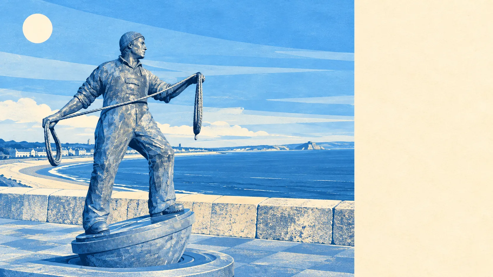
The surroundings are the best thing about living here, by a distance. Open green space sits a couple of hundred metres from the average front door. Water sits closer still. A dozen separate green spaces fall within a kilometre of most homes. This is not a place where the outdoors is a weekend destination; it is the route to the shop.
On green space specifically, the average home in Newlyn has around 12 separate publicly accessible green spaces within a kilometre, with the nearest about 330 metres away. That is a short, ordinary walk rather than a drive and a car park, and it is the single figure that best explains why people here spend so much time outside for a town with this much weather.
Water is nearer than grass. The average postcode sits about 170 metres from blue space, with roughly 54 separate water features within a kilometre. In a harbour town facing a bay that is unsurprising, and it is still a number most coastal places cannot match, because proximity to the sea and access to water are different things.
Getting out into it is easy on two wheels as well as two feet. The National Cycle Network runs within about 200 metres of the average postcode, and about 89% of postcodes sit close to a route. For a town built on a hill this is less restful than it sounds, and it does mean the network is genuinely on the doorstep rather than a drive away.
What surrounds all that is a working high street rather than a parade of galleries. Across the surrounding area the rating list carries about 363 shop premises, 220 office premises, 42 pubs and 27 restaurants. Pubs outnumbering restaurants by that margin tells a buyer more about the evening economy here than any amount of description would.
On air, the council area recorded fine particle levels of about 5 micrograms per cubic metre in 2024. That is a Cornwall-wide figure rather than a Newlyn reading, and it is stated here without any claim attached to it.
The character comes from what sits just beyond the boundary. Mousehole and Paul are a short way along the coast and up the hill, Penzance sits immediately to the north with its own conservation area, and the inland villages of Madron, Heamoor and Alverton fill the ground behind. For formal gardens there is Morrab Gardens and, further out, Trengwainton. The area reads as a cluster of small settlements sharing one bay rather than a single town with suburbs, which is why the bus timetable matters more here than the map suggests.
Private outdoor space is the part most area guides never answer. Across the four neighbourhood areas covering Newlyn, private gardens amount to about 146,000 square metres per 1,000 residents. Terraced towns are usually where garden space disappears, and this one holds a genuine amount of it behind the frontages.
The non-domestic rating list records 290 rateable premises in the area, alongside roughly 492 premises assessed as holiday lets. Those are entries on a valuation list rather than businesses currently trading, so treat them as floor space with a rateable value rather than as an open door. The holiday-let figure is the one worth sitting with for anyone wondering how many of the neighbouring windows are lit in February.
Eating out is reliably clean. Of the 34 food premises carrying a hygiene rating, about 85% hold the top score and about 3% sit at the bottom of the scale. Which is which is a matter of public record and not something to guess at from a webpage.
One honest absence: no national landscape designation, no site of special scientific interest and no ancient woodland overlap this area. The quality here comes from ordinary accessible green space and the water, not from a protected-landscape label, and nothing about the walking is worse for it.
The surroundings are the strongest thing Newlyn has going for it, and the unusual part is that the good stuff is public, close and free rather than something you drive to on a Sunday.