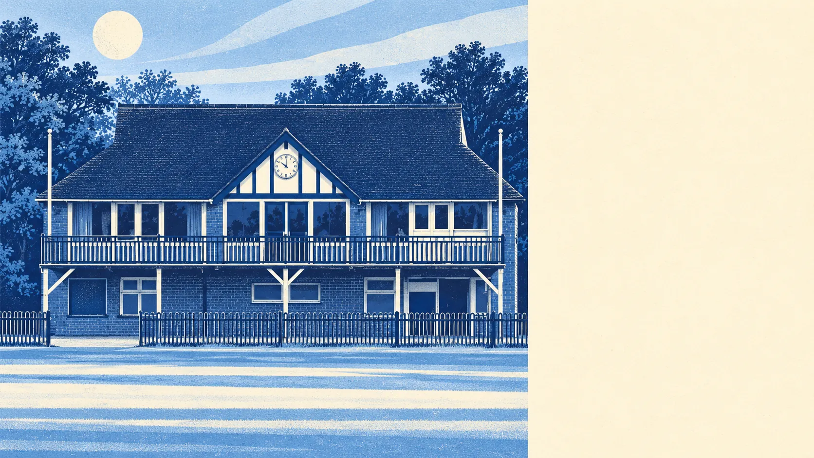
The area around Mitcham is far greener than anyone driving through would guess. Most homes are a short stroll from a park. The Wandle runs along one side. A huge common takes up much of the rest. Shops are plentiful, pubs are not. From a bus it looks like traffic; on foot it looks like grass.
The average Mitcham home is about 95 metres from the nearest green space, with around 35 of them within a kilometre. Mitcham Common supplies the big open stretch, and smaller pockets are scattered through the streets around it. Arthur's Pond, on the corner of Watney's Road and Commonside East, is named after a local farmer, which is as close as Mitcham gets to farming now.
Water is close too. The nearest river, pond or lake is about 430 metres from the average home, with around 29 such spots within a kilometre. The Wandle once powered the snuff, copper and calico works along its banks, and upstream at Merton Abbey Mills the waterwheel is kept for show. That is the river's whole career in one object.
The National Cycle Network is about 1,350 metres from the average home, and about 19% of postcodes are close to a route. It is a short ride rather than a doorstep, and the green space nearer home does most of the work anyway.
The rated premises show a town that shops far more than it drinks or dines. Mitcham has 279 shops on the list, against 11 pubs and 12 restaurants. The weekly errands are easy here, and for a night out people tend to look further afield.
Fine particle pollution across Merton averaged about 8.6 micrograms per cubic metre in 2024, a figure for the whole council area that does not map onto any one street.
The character of the place comes from what the town kept as it grew. Mitcham Cricket Green and the Wandle Valley are conservation areas, Morden Hall Park is among the historic parks and gardens close by, and the lavender that once made Mitcham famous for its soothing air survives in the name of a council ward, Lavender Field. Industry filled the riverbanks and the farms disappeared under housing, yet the common and the green came through.
Private gardens are modest. Mitcham has about 31,000 square metres of garden for every 1,000 residents, the measure that shows how much outdoor space people have of their own. In a town of terraces, the back garden is usually a patch of lawn, and the open space that matters is public.
The valuation list holds 1,107 rateable premises in the area. Shops are the largest group at 279, followed by 135 offices and 111 warehouses. Those are premises on the list, not a count of businesses trading today, and an empty unit still counts. Behind the high street there is plenty of working space, a habit Mitcham has kept since the Wandle mills.
For eating out, about 74% of the 213 food premises rated by inspectors hold the top hygiene score, and about 4% sit at the bottom of the scale. Most places are spotless, so a check of the hygiene rating on the door before ordering takes care of the rest.
No protected landscape overlaps the area: no area of outstanding natural beauty, no site of special scientific interest and no ancient woodland. Mitcham's green is the everyday kind, with dog walks on the common and benches by the pond. No designation has been granted, and none is needed for that.
Its surroundings are among Mitcham's real strengths, the main reason a crowded South London town still feels as if it has room to breathe.