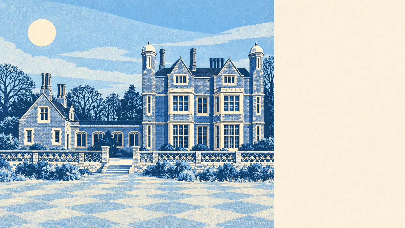
The area around Markyate is green, close and easy to get into. Open space starts a few minutes' walk from most front doors. A small stream runs through the village. The edge of the Chilterns comes right up to it, and the rest is farmland and small villages in every direction.
The nearest green space is roughly 180 metres from the typical home, and there are about nine parks, playing fields and open spaces within a kilometre. In a village this size that means the fields are part of the walk to the shop more often than they are a destination. Markyate Cell Park, the grounds of the country house built where the medieval priory stood, is the grandest of them.
Water is about 570 metres away on average, with about two bodies of water within a kilometre. Most of that is the River Ver, which rises close by and is often dry for parts of the year. It is a stream to walk beside, not one to boat on, and in a dry summer it is mainly a line on the map.
The nearest stretch of the National Cycle Network is about 5,550 metres away, and no postcode in the village is close to it. There is no ancient woodland inside the area either. Cycling here means country lanes and the confidence to share them, and the woods are a short drive away in the surrounding villages.
Rating records for the wider area count 188 shops, 25 pubs and 33 restaurants, a spread that reaches well beyond Markyate's own High Street. In the village itself, 59 premises are on the business rating list, the largest groups being 11 offices and 10 shops. Those are premises on a valuation list, which is a record of buildings and says nothing about whether the lights are on. A High Street that once made its living feeding and watering coach passengers still has the frontages for it.
Of the 16 food outlets with a hygiene rating, about 75% hold the top score and none sit at the bottom. For a village, that is a short list of places to eat and a clean one.
Dacorum Borough Council's area recorded fine-particle pollution of about 7 micrograms per cubic metre in 2024.
About 4% of the area falls within the Chilterns Area of Outstanding Natural Beauty, a thin strip at the edge, and there are no sites of special scientific interest. The village is protected landscape at its fringe and working countryside everywhere else, which is the reason the walks start so close to the houses.
Beyond the village, the named places nearby are Flamstead, Caddington, Kensworth and Slip End, a ring of smaller settlements with their own churches and green spaces, along with Beechwood Park School in its listed grounds. Flamstead, which this page also covers, sits over the hill and shares the same fields. Markyate is the biggest place in its patch, with Luton and the motorway close by and fields on every other side.
Homes here have generous private outdoor space: residents share about 252,000 square metres of garden per 1,000 people. The share of all land taken by gardens looks modest, but that is because farmland makes up so much of the total, and on the measure that matters people have plenty of their own.
The countryside is Markyate's best feature: parks a short walk away, a large garden behind most houses, and the Chilterns close enough to see from the end of the road.