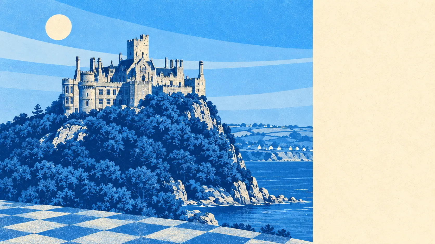
The area around Marazion is mostly other people's holidays and a lot of open water. Green space starts at the end of the street. The bay is a couple of minutes from almost any front door. The high street is small, and more of the rateable premises in it are holiday accommodation than anything else. This is a working landscape that has agreed to be a view for most of the year.
Green space is genuinely on the doorstep. The average postcode here sits about 130 metres from a green space, with roughly 8 of them inside a kilometre. That is a walk measured in minutes rather than a drive measured in decisions, and it is the sort of figure that usually only appears in villages half this size.
Water is the defining feature and the numbers say so. Open water averages about 230 metres from a postcode, with around 32 separate bodies of blue space within a kilometre. In a town built along the shore of Mount's Bay with a tidal island offshore, that is less a statistic than a description of the front door.
For getting further out, the National Cycle Network runs an average of about 835 metres away, with roughly 16% of postcodes close to it. There is no ancient woodland recorded in the area at all, which is normal for this stretch of Cornwall and a reminder that the green here is coastal and agricultural rather than forested.
The high street is small and does the essentials. The rating list carries 22 shops, 5 pubs and 2 restaurants. Fifteen food premises hold a current hygiene rating, 80% of them at the top score of five, and none at all sit in the bottom band. For a town this size, a clean sweep at the bottom end is worth more than the headline percentage.
On air, fine-particle pollution across the Cornwall council area measured about 5.1 micrograms per cubic metre in 2024. That is a council-area figure rather than a Marazion one, and Cornwall sits at the low end of the national range.
The character comes from what sits around the town rather than in it. Perranuthnoe, Prussia Cove and Rosudgeon run east along the coast, Ludgvan, Crowlas and St Hilary sit inland behind it, and Longrock stretches west towards Penzance. The scheduled monuments in the surrounding area are wayside crosses and the Tregurtha Downs mine complex, which is a fair summary of what this landscape has been used for: prayer, transit and tin. Conservation areas cover Marazion itself along with Goldsithney, Ludgvan Churchtown, Perranuthnoe and St Hilary Churchtown, so the historic cores of half the surrounding villages are protected too.
Private outdoor space is substantial, which matters because public green space figures say nothing about whether a house has a garden. Gardens here work out at roughly 234,000 square metres per 1,000 residents. In practical terms, this is a town of houses with their own ground rather than flats sharing a communal lawn.
The business mix tells the real story of the local economy. Of 150 rateable premises on the valuation list, 91 are holiday lets, alongside the 22 shops, 5 pubs, 4 offices and 2 restaurants. Those are premises on a list rather than doors currently open, but the proportion is the point: the largest single commercial activity in Marazion is accommodating people who are leaving again. Anyone buying here should understand that the street in February and the street in August are different streets.
One honest absence is worth recording. No area of outstanding natural beauty, no site of special scientific interest and no ancient woodland overlaps this area. The scenery here is not protected by designation, it is simply there, which is a different thing and worth knowing if you assume the view is guaranteed by law.
The surrounding area is the strongest thing Marazion has: water at the end of the road, green space closer than the nearest bus stop, clean air and gardens with room in them, with the only caveat being how much of the town's commercial life is built around visitors rather than residents.