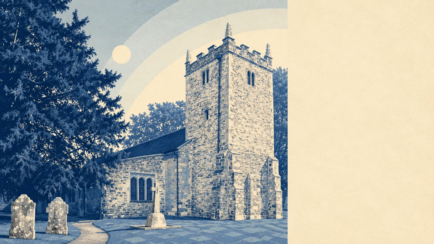
Green, and nearer to water than a hilltop has any business being. Open space starts a couple of minutes from most front doors. Heath and plantation sit on three sides, with Poole Harbour and the Purbeck hills doing the middle distance. The nearest thing to a landmark is a Bronze Age burial mound, of which there are many. What surrounds this place is the best argument for living in it.
Public green space is the headline. The average postcode in the Lytchett Matravers area sits about 270 metres from its nearest patch, with roughly nine of them within a kilometre. That is a level of access most towns spend a regeneration budget trying to fake, and here it exists because nobody ever built over it.
Water is nearer still. Blue space averages about 420 metres away, with around 16 features within a kilometre, which is what happens when a landscape of small valleys drains toward a harbour. Very little of it is the sort you swim in. Most of it is the sort you walk a dog beside while pretending the walk was the dog's idea.
Cycling is the weak link in the outdoor offer. The National Cycle Network averages about 2.7 kilometres from the area's postcodes, and only about 2 percent of them count as close to a route. The lanes are pleasant and the network is somewhere else.
For amenities across the surrounding postcode districts, the valuation list carries 586 shop premises, 94 pubs and 27 restaurants. Pubs outnumbering restaurants by that margin is not an accident of the data. It is a fair description of how this part of Dorset has always preferred to spend an evening.
Air quality for the Dorset council area was recorded at about 5.5 micrograms of fine particles per cubic metre in 2024.
The surrounding villages give the area its shape. Lytchett Minster and Morden sit close by with conservation areas of their own, Sturminster Marshall lies out on the Stour, and Upton runs down toward Hamworthy where the countryside gives up and Poole begins. Wimborne Minster is the market town in the other direction. Between them are heaths carrying hillforts at Woolsbarrow and Bulbury Camp, the plantations of Henbury and Stoney Down, and the woods of Lytchett Heath. It is a landscape that has been continuously useful to people for about four thousand years, which is longer than most places manage to stay interesting.
Private outdoor space is where the countryside actually reaches the residents. Across the seven neighbourhood areas here, gardens run to roughly 171,000 square metres per thousand people. In practical terms, a garden here is a garden rather than a paved rectangle with a bin store, and that single fact explains a good deal of why families move out this way.
On what is actually here rather than nearby, the local rating list carries 241 rateable premises. The wider districts add 683 office premises and 304 holiday lets. Those are entries on a valuation list rather than businesses trading today, and the holiday let figure is the one worth noticing: this is a corner of Dorset that quietly rents itself out in August.
Of the 63 food premises with a published hygiene rating in the area, every one of them holds the top score, and none sit at the bottom of the scale. A clean sweep across 63 premises is unusual enough to be worth stating plainly.
There is no area of outstanding natural beauty here, no site of special scientific interest, and no recorded ancient woodland. That is not a gap so much as a description: this is working countryside, farmland and managed heath rather than designated landscape, and it comes without the extra layer of consent that designation brings.
The setting is the best thing this area has, and it is not a close contest. Green space, water and garden space all land well above what the price suggests, and the only thing missing outdoors is a decent cycle route to reach any of it.