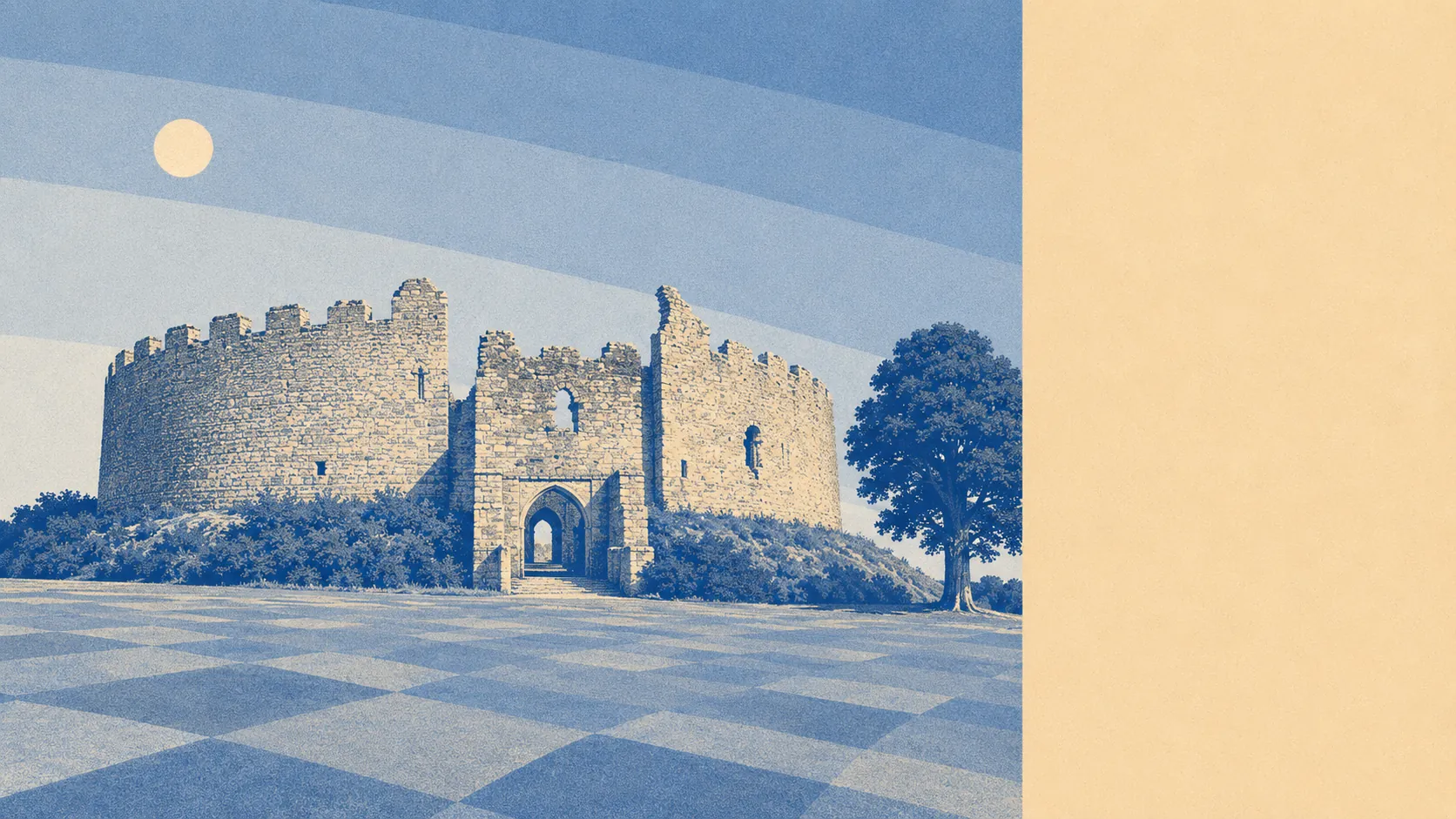
Working countryside with water running through the middle of it. The average postcode has eight parks or open spaces within a kilometre. Water is nearer than the nearest shop. Sixty of the rateable premises in the area are holiday lets. This is a landscape that earns part of its living from being looked at, and it has been doing so long enough to be relaxed about it.
Green space is close enough that nobody drives to it. Parks and public open space average around 655 metres from the typical postcode, with eight separate sites inside a kilometre. That is a rural distribution rather than a municipal one: small, scattered, and reached on foot in ordinary shoes.
Water is closer still. The nearest blue space averages about 330 metres away, and there are roughly 32 within a kilometre, which is what happens when a town sits at the head of a tidal river and the creeks fan out around it. Lerryn sits downstream on its own tributary, St Winnow and Golant further along the water. The river is the organising fact of the whole area, and every walk here eventually arrives at it.
Cycling out of it is less obliging. The nearest National Cycle Network route averages about 4.6 kilometres away, and no postcode in the area counts as close to one. Riders here use lanes, hills and their own judgement rather than a signed route.
The high street runs on 43 shop premises, 5 pubs and 2 restaurants. Five pubs and two restaurants is the honest measure of the evening economy: sociable, small, and not somewhere you make a reservation to prove a point.
On air quality, fine-particle levels across the Cornwall council area averaged around 5 micrograms per cubic metre in 2024, which is the council-wide figure rather than a reading taken at the end of anyone's road.
The surrounding country is thick with old things nobody built for tourism. Lanhydrock and Boconnoc hold registered historic parks, Helman Tor carries a prehistoric hillfort and hut circles, Castle Dore sits in the fields to the south, and the earthwork called the Giant's Hedge runs across the landscape doing whatever it was originally for. Villages like Lanlivery, Milltown and Couch's Mill are the scale of settlement out here, which is to say a lane, a church and an assumption that you own a car.
What people actually have, which the public green space figures never tell you, is private outdoor space. Across the four neighbourhoods measured, gardens run to roughly 363,000 square metres per 1,000 residents. Homes here have gardens, and they have proper ones.
The wider business register carries 223 rateable premises, including those 43 shops, 22 offices, 5 pubs and 2 restaurants, alongside 60 holiday lets. Those are premises on the valuation list rather than businesses currently trading, so treat it as capacity rather than a directory. The holiday-let count is worth sitting with: it shapes who is around in February and who is around in August.
Of the 35 food premises with a hygiene rating, 89% hold the top score and 3% sit at the bottom of the scale. For a town this size, that is a good record and a short list.
One honest absence: no area of outstanding natural beauty overlaps here, no site of special scientific interest, and no recorded ancient woodland. The countryside around Lostwithiel is farmed, wooded and handsome, but it is not designated, which means the protections that come with those labels do not apply and the views are held in place by ordinary planning rather than national status.
The surroundings are a genuine strength here without being a headline one. Water and green space are on the doorstep and the gardens are generous, though anyone expecting protected-landscape credentials and a signed cycle route out of town will find those belong to a different postcode.