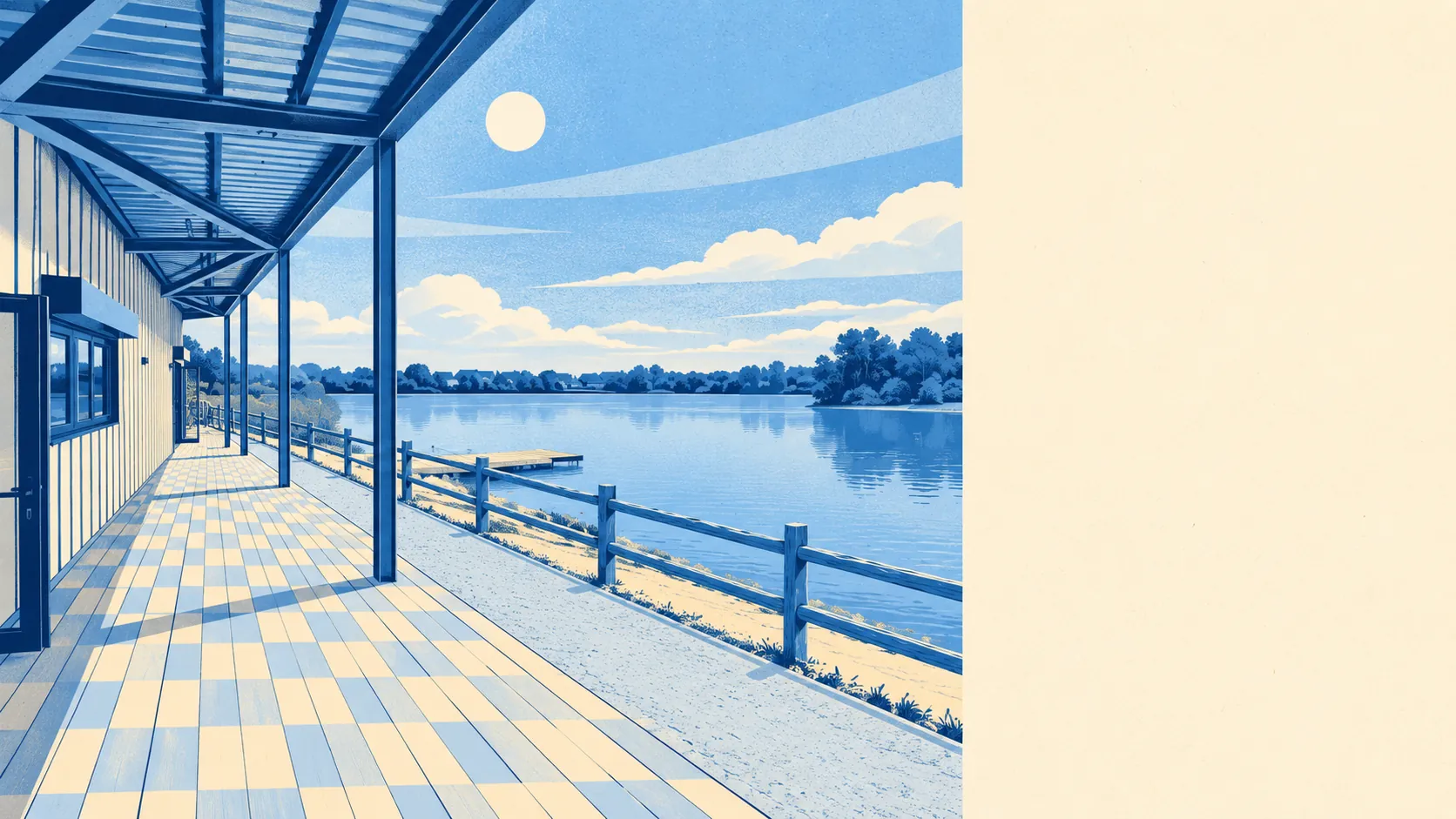
The area around Larkfield is greener and wetter than a semi-detached postcode has any right to be. A park sits a couple of minutes from most front doors. Open water is barely further. Warehouses make up the biggest share of the local rating list. Nobody sold this place as countryside, and it quietly delivers more of it than the brochure would.
Green space is close and plentiful. The nearest averages about 200 metres from home, and there are about 16 green spaces within a kilometre. That is closer than most people park to their own front door on a busy night.
Water is nearly as close. The nearest blue space, meaning lakes, rivers and ponds, averages about 310 metres away, with around 50 bodies of water within a kilometre. Dog owners here run out of excuses before they run out of routes.
The formal network is further off. The nearest stretch of the National Cycle Network averages about 4.5 kilometres away, and no postcode counts as close to it. The paths on your doorstep are local ones, not signed long-distance routes.
The rated-premises data for the wider area counts 243 shops, 39 pubs and 34 restaurants, alongside 713 offices and 8 holiday lets. Offices outnumber pubs by a distance, which says plenty about what happens here on a weekday. Of the 101 food outlets with a hygiene rating, about 81% hold the top score.
Fine-particle air pollution across the Tonbridge and Malling council area averaged about 7.3 micrograms per cubic metre in 2024. That figure covers the whole council area, not Larkfield's own streets.
The surroundings are a patchwork of places with their own names and their own old centres. Leybourne, East Malling, Ditton and Aylesford all sit close by, most with a conservation area protecting their historic core. Kings Hill and Maidstone are close enough to use without moving to either. New Hythe marks the working edge. The pretty bits and the practical bits are close neighbours, and neither pretends the other does not exist.
Private gardens are generous. Across the area there are about 107,000 square metres of garden for every 1,000 residents, measured across all 17 of its small statistical areas. That is the figure that says whether people have their own outdoor space, and here they do. Post-war plot sizes were not designed for people who like small lawns.
The valuation list counts 550 rateable premises in the area, and the largest group is warehouses at 149, followed by 87 offices and 65 shops. Those are premises on the list, not a count of businesses trading today. The makeup tells you Larkfield sits beside a working logistics and business edge rather than a market-town high street. The lorries have to go somewhere, and some of them go past here.
Eating out is a reasonably safe bet. About 81% of the 101 rated food premises hold the top hygiene score, and only about 3% sit at the bottom.
No protected landscape designation overlaps the area. There is no national landscape, no site of special scientific interest and no ancient woodland on the map. The green space here is the everyday kind, parks, lakes and gardens used by the people who live next to them, not a view people drive in from elsewhere to photograph.
The surroundings are one of Larkfield's real strengths: green, watery and close at hand, without the parking wars that come with a famous landscape. It is countryside for everyday use, and the people living here mostly have it to themselves.