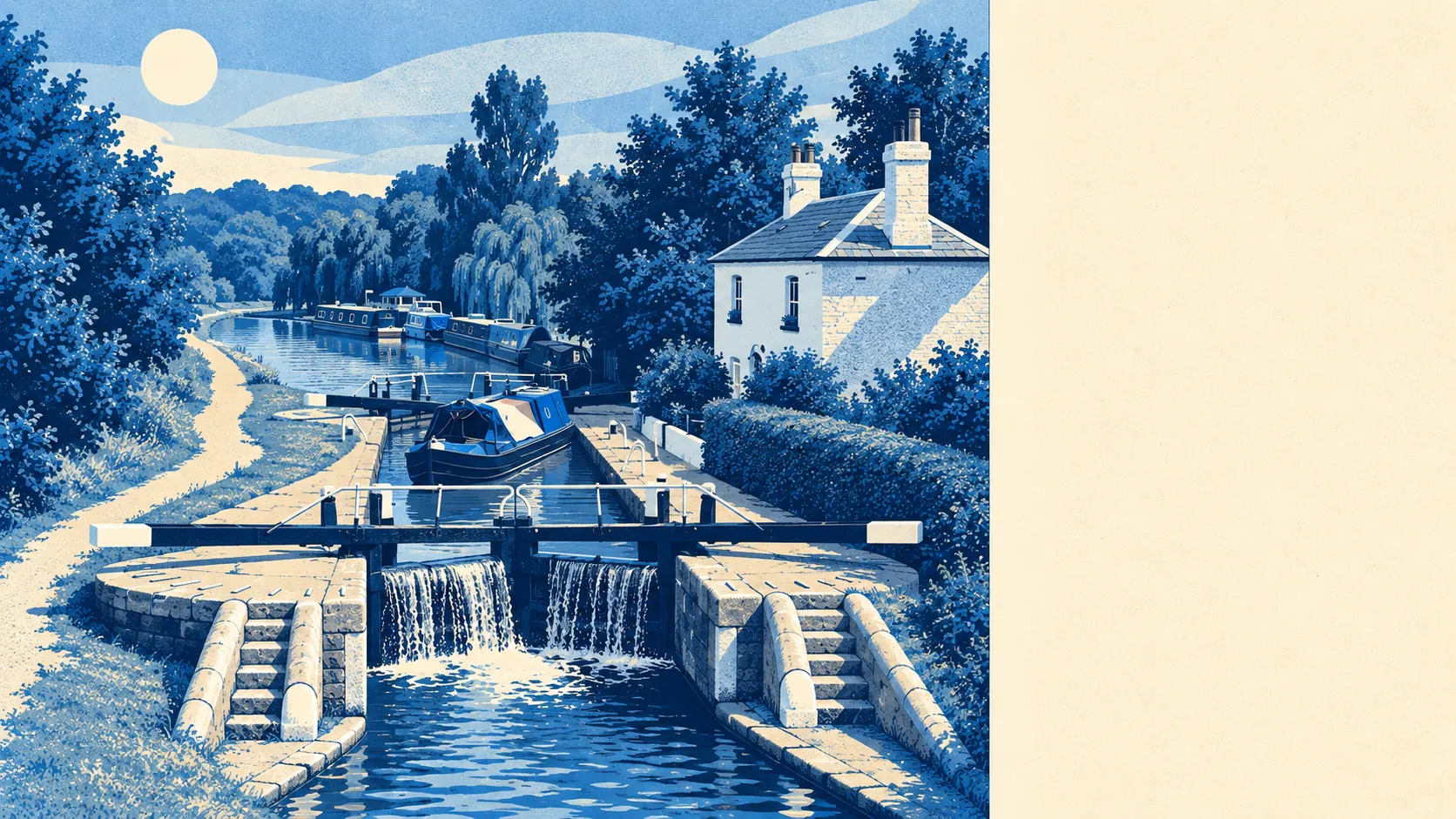
The area around Kings Langley is green, close to water, and better for a walk than its commuter-belt label suggests. Green space is about 200 metres from the average front door. The river and the canal are both in easy reach. Chipperfield is up the hill on the chalk plateau. Very little of it is protected landscape, and almost none of it needs to be.
People here have plenty of green space. The nearest is about 200 metres away on average, and about 15 separate green spaces lie within a kilometre of the typical home. When Eleanor of Castile acquired the manor in the thirteenth century, the royal palace came with a deer park running south from the hill, and the land around the village has stayed mostly open ever since.
Water is close too. The nearest river, canal or lake is about 470 metres away on average, and about 25 stretches of water lie within a kilometre. The River Gade and the Grand Union Canal run side by side through the valley, so a walk from the village usually reaches a towpath before it reaches anything else.
Cycling is less convenient. The nearest National Cycle Network route is about 4.5 kilometres away on average, and no postcode in the area is close to one. Ancient woodland covers about 1% of the area, a few old woods rather than a forest. The towpath is the obvious way out on a bike, and beyond it it's mostly ordinary roads.
The rated-premises records list 158 shops, 27 pubs and 16 restaurants in the area. That's a lot of retail for a village, partly because the old main road ran down the high street for centuries and the Saracen's Head was built to serve it. There are more pubs than restaurants, so this is a place where people go out for a pint more often than for a booked dinner.
Dacorum as a whole recorded fine-particle pollution of about 7.3 micrograms per cubic metre in 2024. That figure covers the whole borough and gives no reading for a garden beside the railway in particular.
The village's character comes from its sport and its neighbours. Kings Langley FC plays in the Southern League, the cricket club runs teams in three divisions, and the bowls club in Green Park has its own licensed bar. Chipperfield is up on the chalk plateau, with an ancient barrow among its scheduled monuments. Around the edge are Bedmond, Sarratt, Hunton Bridge and Nash Mills, the villages people drive through on the way somewhere and then start looking at on property websites. Hemel Water Gardens is the nearest designed park, a short drive up the valley.
Homes have generous gardens. Across the area's three neighbourhoods, private gardens add up to about 173,000 square metres per 1,000 residents, which is a lot of lawn. Plenty of that space belongs to the detached houses on the slopes, and the flats nearer the station get less of it.
The business rates list holds 162 premises in the area, with offices the largest group at 34. That's a register of rated buildings, and some of them may stand empty. The offices are mostly a legacy of the station-side industrial estate, which brought in work that the village itself never had.
Food hygiene is good. About 72% of the 39 rated food premises hold the top score, and none sit at the bottom of the scale. Dinner here may not be adventurous, but the kitchens are clean.
No area of outstanding natural beauty or site of special scientific interest overlaps the area. The Chilterns designation stops before it reaches the village, and the green space here is ordinary valley farmland, parks and towpath. That's still a lot of countryside for somewhere inside the commuter belt.
The surroundings are one of Kings Langley's real strengths, with fields, river and canal all within a short walk of most homes.