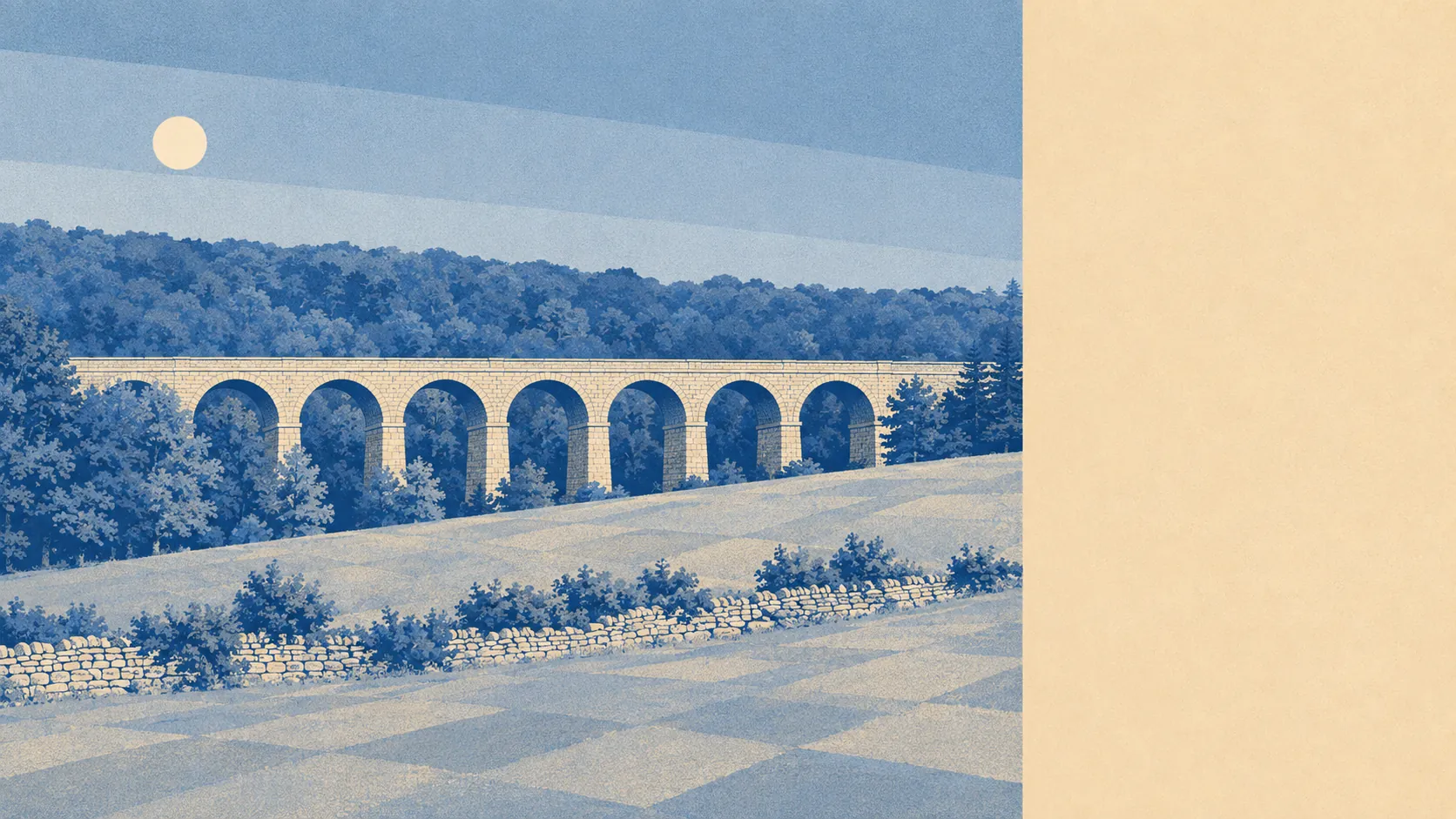
Better than the town, and the town has the sense to know it. The moor begins where the last road runs out. The River Erme comes down through the middle of everything. Water sits a few hundred metres from the average front door and there is more green within a mile than most people could name. The place works less as a destination than as a doorway, and the door opens onto one of the better bits of Devon.
Green space here is not a feature, it is the default setting. The average postcode sits about 128 metres from open green space, with roughly 19 separate sites within a kilometre. That is the sort of access that makes the phrase "near a park" meaningless, because everywhere is near a park.
Water is similarly close. The average postcode is about 338 metres from blue space, with around 32 stretches of water within a kilometre, which is what happens when a river drops through a town from Dartmoor and every tributary joins it on the way. The Erme is not scenery you drive to. It is what the roads keep crossing.
Getting out into it is straightforward. The National Cycle Network passes about 269 metres from the average postcode, and about 82% of postcodes sit close to it. The Two Moors Way starts here and ends on the north Devon coast, which means the long-distance path that people plan a week around begins at the end of somebody's street.
The high street is small and honest about it. The valuation list carries 120 shop premises, 18 pubs and a single restaurant premises, which tells you where the town's social life happens after dark and it is not over a tasting menu. Of the 54 food premises with a current hygiene rating, about 83% hold the top score and about 2% sit at the bottom of the scale.
Air quality is unremarkable in the good way. Fine particulate matter across the South Hams council area measured 5 micrograms per cubic metre in 2024, which is a district figure rather than a street one.
The character comes from what surrounds the built-up part rather than what sits inside it. Riverside woodland runs along the Erme to the north, Western Beacon looms over the whole town from above, and the moorland behind carries Butterdon Hill, Ugborough Beacon, Hangershell Rock and the Spurrell's Cross stone alignment, which is Bronze Age landscape doing the job of a country park. Below and around sit the villages: Ugborough, Modbury, Ermington, Cornwood, Bittaford, Wrangaton, Harford and Lee Mill, each with a pub and an opinion about the others.
Private outdoor space is generous in a way the town's estate-brick reputation hides. Across the area's ten neighbourhoods, gardens work out at roughly 170,000 square metres per 1,000 residents. The late twentieth century built here at a density that assumed everyone wanted a lawn, and it turned out to be right.
The wider commercial base is thinner than the shop count suggests. The valuation list holds 290 rateable premises in total, including 116 office premises and 46 holiday lets. These are premises on a rating list rather than businesses currently trading, which is a distinction worth holding onto before anyone counts them as a local economy.
One honest absence: no area of outstanding natural beauty overlaps this area, no site of special scientific interest sits inside it, and no ancient woodland is recorded within the boundary. The protected landscape is next door rather than underneath, because Dartmoor National Park begins just beyond the top of the town. That is a mapping fact rather than a criticism, and it means fewer designations to argue with while the good stuff stays a short drive away.
The surroundings are the single best thing about living here, and nothing else on this page comes close to matching them.