The area around Ipplepen is green in the working sense rather than the postcard sense. Fields, lanes and a scatter of villages all doing much the same impression of quiet. Open space starts a couple of hundred metres from most front doors. Water is a walk rather than a view. Nothing out here carries an official landscape badge, and the countryside has carried on being countryside without one.
Green space is the everyday strength. The nearest accessible site sits about 240 metres from a typical postcode, with around nine of them inside a kilometre. That is not one big park doing all the work, it is a spread of smaller places, which is why walking here is a habit rather than an outing.
Water is thinner on the ground. Open water averages about 940 metres away, with roughly one blue-space site within a kilometre. Streams and ponds, in other words, not an estuary or a beach. Anyone whose mental picture of Devon involves the sound of waves is picturing a different postcode entirely.
Cycling out of the village is a road-sharing exercise. The National Cycle Network averages about 5 kilometres away, and 0% of postcodes here count as close to it, so anyone on two wheels is on lanes with tractors, vans and hedges taller than the handlebars. No ancient woodland is recorded across the area either.
For amenities, the wider postcode area around the village carries 333 shop premises, 49 pubs, 20 restaurants and 397 office premises on the rating list. That is a decent working economy across the district. It is also spread across towns and villages rather than pooled anywhere near here.
Air quality is measured at council level, and fine-particle pollution across the Teignbridge area averaged about 5 micrograms per cubic metre in 2024. That is a council-wide figure rather than a reading taken at the end of any particular lane.
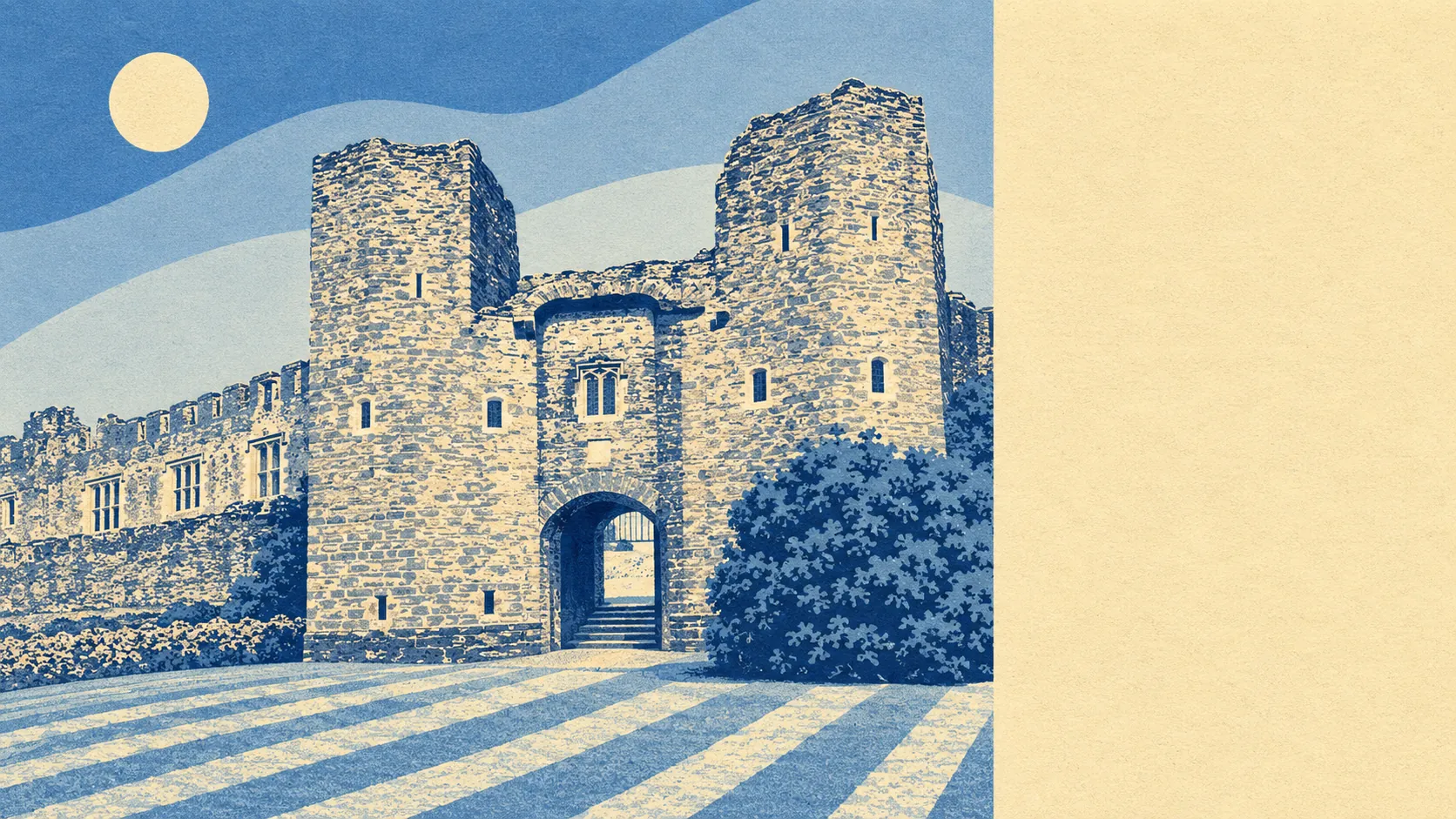
The neighbours set the tone. Denbury, Torbryan, West Ogwell, Compton, Marldon, Dainton and Two Mile Oak Cross ring the village, and conservation areas at Abbotskerswell, Broadhempston, Denbury, East Ogwell and Kingskerswell mark the older cores nearby. Compton Castle, a medieval fortified house, sits among the scheduled monuments in the area, alongside Denbury camp and the barrows near Dornafield Farm. The Italian Garden at Great Ambrook is the local oddity. This is a landscape with more archaeology in it than signage.
Private outdoor space is the thing public maps never capture, and it matters more here than any of the above. The area holds roughly 226,000 square metres of private garden for every 1,000 residents. Households here have real outside space of their own, which is the practical difference between a village and a suburb pretending to be one.
Within the village itself the rating list runs to 61 rateable premises in total. Those are premises on the valuation list rather than businesses currently trading, so the count describes the commercial space that exists, not a row of open doors. It is village scale, plainly, with the shopping done elsewhere.
On eating out, 14 food premises in the area hold a published hygiene rating, 71% of them at the top score and 7% at the bottom of the scale. A small field, and mostly a clean one.
There are no protected-landscape designations here at all. No area of outstanding natural beauty, no site of special scientific interest, no recorded ancient woodland. That is a fact about paperwork rather than a criticism of the view: this is ordinary working farmland that nobody has drawn a boundary around, and it stays quieter for it.
For somewhere with no designation to its name, the surroundings punch remarkably well: green space at the end of the road, gardens with genuine room in them, and enough small villages in every direction to keep the horizon uncluttered. Anyone moving here for the setting is making the easiest part of the decision.