Green, coastal, and busier underfoot than it looks from a map. Open space starts at the end of most streets rather than a drive away. The sea is close without the village ever pretending to be a resort. Gardens here are large enough that people treat them as the main event. What surrounds Illogan is working Cornish countryside with a coast attached, not scenery that has been tidied up for visitors.
Public green space is the strongest thing about the setting. A typical postcode sits about 280 metres from open green space, with roughly nine separate spaces inside a kilometre. That is not one park doing all the work for the whole village. It is a spread of them, which is what actually determines whether people use green space or just admire it through a window.
Water is nearly as close. Open water averages about 690 metres from a postcode, with about seven separate bodies of water within a kilometre. Portreath and the north coast sit within easy reach, and the coastline is the reason a substantial number of people move here rather than to the towns inland.
Cycling infrastructure is the gap. The National Cycle Network averages about 2.2 kilometres from an Illogan postcode, and no postcode in the area counts as close to it, so anyone cycling for leisure starts with a road ride before the good bit begins.
For everyday amenity, the wider area carries 215 shop premises, 31 pubs and 11 restaurants on the rating list, alongside 150 holiday lets. That pub count against that restaurant count describes the local evening economy accurately: this is a place where people go out for a drink rather than a tasting menu.
Air quality is clean by national standards. Fine particle levels across the Cornwall council area averaged about 5 micrograms per cubic metre in 2024. That is a council-area figure covering the whole county rather than a village measurement, but nothing about the local geography suggests Illogan does worse than it.
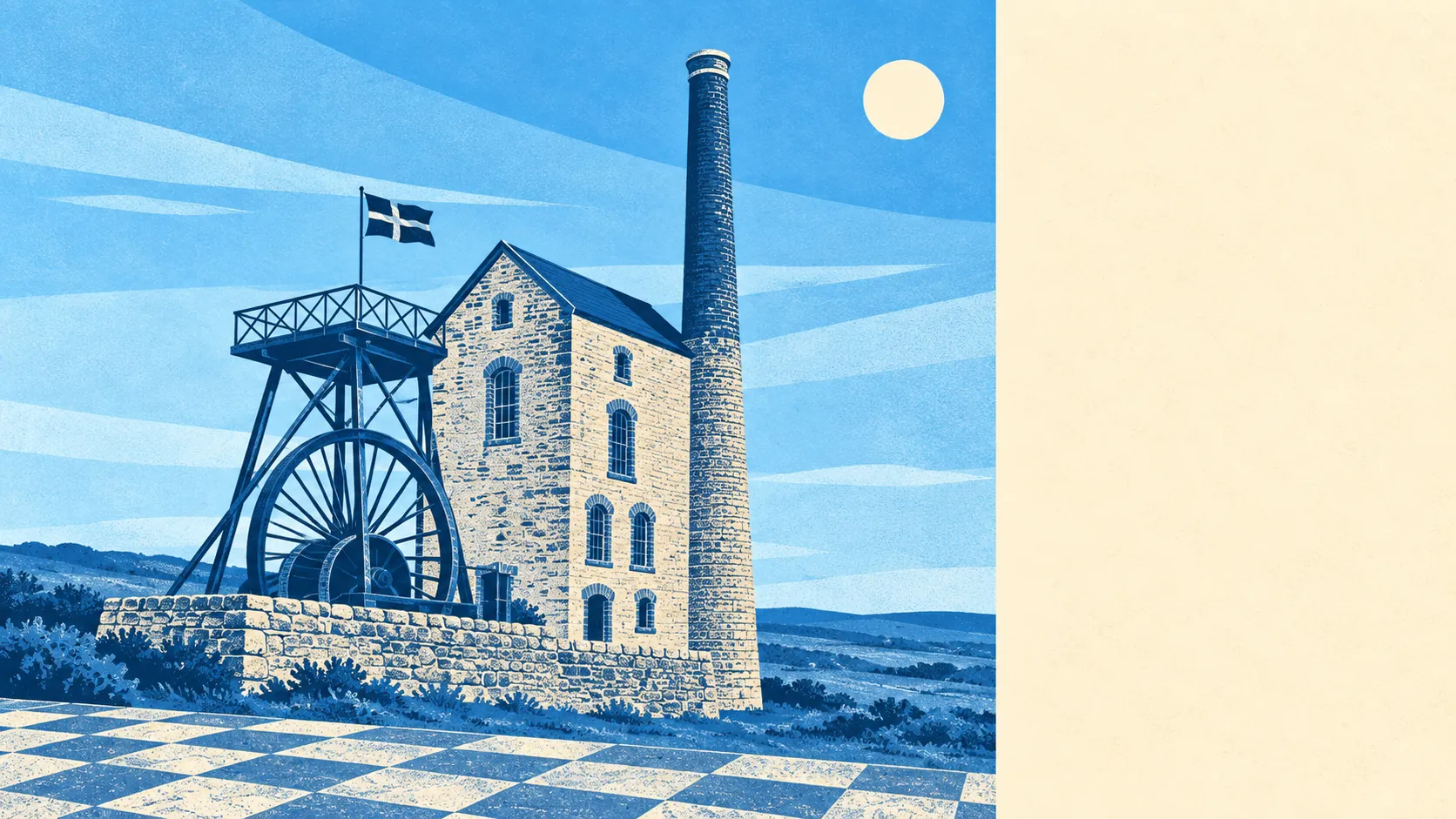
The character comes from what sits around the edges. Carn Brea rises to the south with its Neolithic hilltop enclosure, medieval castle and old mineral workings layered on the same hill. Tehidy woodland and the cliffs above Portreath sit on the other side, along with Crane Castle, an Iron Age cliff fortification. Between them are working villages like Pool, Carnkie, Illogan Highway and Church Town, none of which have been prettified for anyone. The old mining landscape of East Pool Mine and Wheal Peevor is part of the view rather than a museum quarter.
Private outdoor space is where Illogan quietly outperforms. Across its five neighbourhoods, there is roughly 179,000 square metres of private garden per 1,000 residents, which on any reasonable reading means generous plots as standard rather than as a premium. Buyers coming from a city should understand that a garden here is somewhere you keep things, grow things and put a shed, not a paved rectangle with a bin in it.
The village itself carries only 49 rateable premises on the valuation list, with the largest single category accounting for 10 of them and most categories holding two or three. These are premises on a list rather than businesses currently trading, and the shape of the list says plainly that Illogan has no concentrated high street. The shops are in the towns either side.
Of the 14 food premises rated locally by the Food Standards Agency, about 79% hold the top hygiene score and none sit at the bottom of the scale. A small number of places, most of them doing it properly.
One honest absence: no area of outstanding natural beauty, no site of special scientific interest and no ancient woodland overlaps Illogan itself. The landscape is good without carrying a designation, which means fewer constraints on what happens in it and rather less competition for parking at the start of a walk.
The surroundings are one of Illogan's real strengths, and the reason people forgive it the things it does not have. Green space at the door, water within a walk, and a coast that belongs to residents rather than to the coach trade.