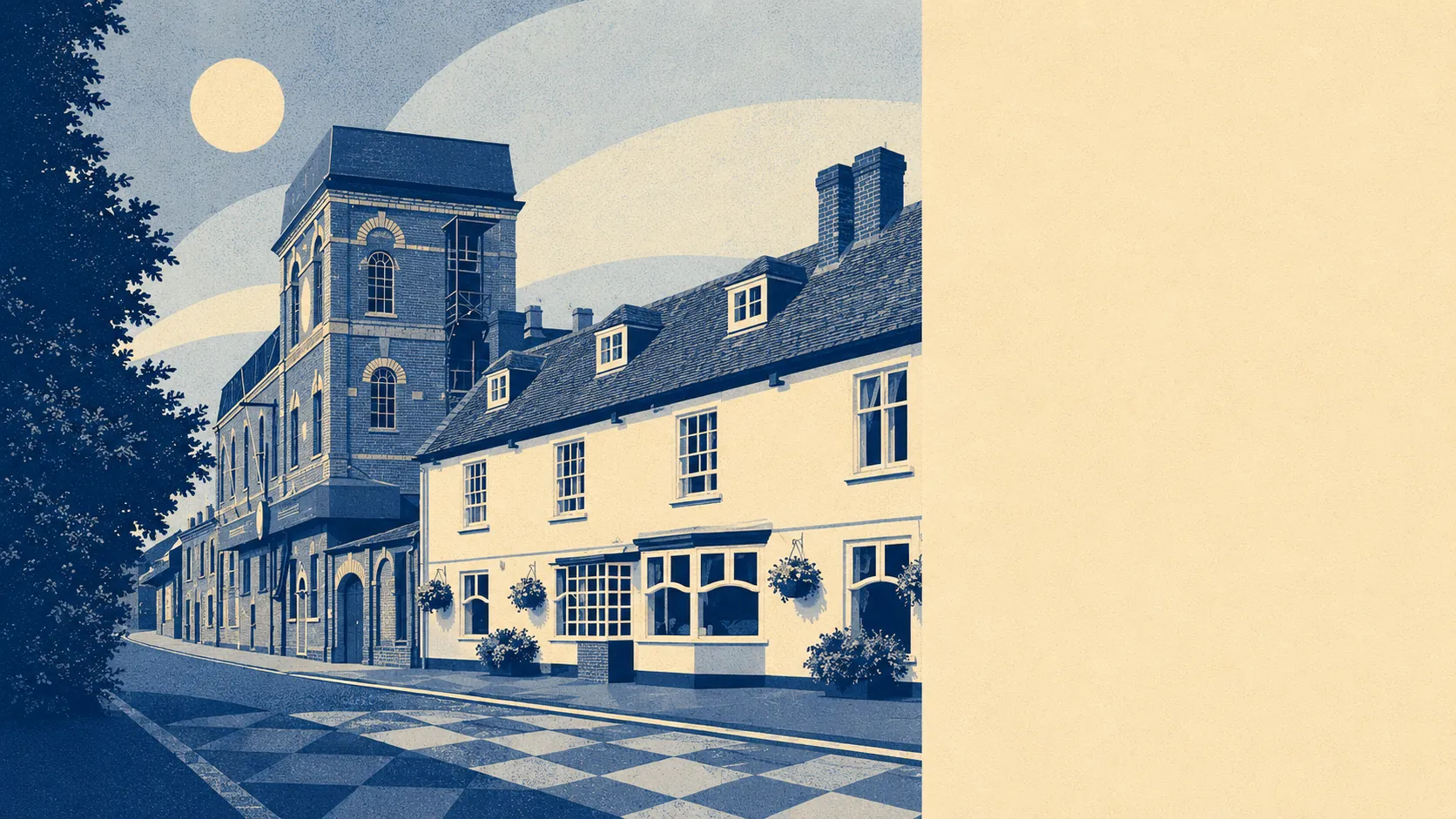
Horndean is what happened when the A3 ate a coaching village and the village mostly kept the receipts. Eight miles north of Portsmouth. Two cars on every other drive. A motorway bridge as a landmark. It's the village Waterlooville's quieter cousin would point to if Waterlooville had a cousin, which it does, and this is it.
The housing stock is mostly houses, with bungalows doing more of the work than you'd expect in a place this far from the coast. Around six in ten homes are houses, roughly a fifth are bungalows, and around one in six is a flat. The energy ratings tell the post-war story honestly. Roughly half the stock sits in EPC bands A to C, around four in ten are band D, and around one in ten are E or worse. That's a place where the modal home was built between the end of rationing and the building of the A3(M), and the insulation reflects it.
A typical sale over the last year sat at about £360,000, across roughly 450 transactions. Detached houses pulled the average up at around £460,000. Semi-detached came in around £349,000, terraces around £286,000, and flats around £173,000. The council tax picture is unfussy: band D is the modal band, and only about one in five homes sits in band A or B. It's a place where the spread is narrow because the stock is similar, and the stock is similar because most of it went up in the same thirty years.
Rents across the East Hampshire area typically run at about £1,260 a month, which is the local-authority figure rather than Horndean's own. One-bedroom places typically come in around £900, two-beds around £1,175, and three-beds around £1,475. Flats average around £990, terraces around £1,277, semis around £1,418.
Crime sits at about 48 per thousand residents per year, which is roughly three per cent below the East Hampshire local-authority average. Not quietest in the district, not noisiest. The kind of number that won't change anyone's mind about moving here, which is probably the point.
Schools are the gap in this brief. The dataset carries no current Ofsted grades for the local primaries and secondaries, so anything specific would be invented and there's no inventing here. The local primary catchment includes Catherington Church of England Infant School, Horndean Infant School, Horndean Church of England Junior School, Padnell Infant and Padnell Junior, and Petersgate Infant. The secondary most Horndean families end up at is Horndean Technology College, with The Cowplain School pulling in the southern end. Buyers serious about a specific badge ring the schools themselves and ask about the current state of play, because the algorithm doesn't care what was true three Ofsteds ago.
The trains are fine but not yours. About one in two hundred residents commutes by train, which tells you everything about how easy that journey is from here. The nearest stations are Rowlands Castle, Bedhampton, Cosham, Havant and a handful further out, all of them a drive rather than a walk. Around three in five residents drive to work. Around three in ten work from home. Broadband is the easy bit: full superfast coverage, and gigabit available at roughly nine in ten addresses. The cables turned up before the trains did and have stayed.
The environment story is the awkward one. Surface-water flood risk is the figure nobody mentions and probably should. About one in five addresses sits in an area flagged as high risk for surface-water flooding, around a fifth more for medium, and roughly three in ten for low. The river and coastal picture is essentially clean - effectively no Flood Zone 3, no historic river floods recorded - but Horndean is a chalk-and-clay village on the southern slope of the Downs, and rainwater going somewhere is a thing the village has views on. Green space is the offset: the average home is about 240 metres from public green space, with around a dozen patches within a kilometre.
Heritage constraints are light. There are 28 listed buildings in the wider area, one Grade II*, and the rest Grade II. Three conservation areas sit nearby - Horndean itself, Catherington, and Blendworth. If your house is on one of those streets, your conservatory application is a conversation. If it isn't, the planning process is the standard one. Merchistoun Hall, the Grade II listed Napier family home turned community centre, anchors the conservation area in the village centre.
Around four in five homes are owned outright or with a mortgage, which is unusually high for anywhere within commuting range of a major city. The median resident is 47. Typical household income sits at about £43,000 a year. It's a place where the demographic is settled rather than churning, and the property market reflects that. People buy here and stay.
Horndean suits people who want East Hampshire's low crime, high ownership and green-edge living without paying Petersfield prices for the privilege. It suits families chasing a specific secondary school catchment, downsizers who already have the bungalow they want, and remote workers who realised the broadband was better than the train ever could be.
It isn't for people who need the train, want a market-town high street, or expect a village centre that wasn't reorganised by a 1960s precinct architect. The people who realise that within eighteen months either commit to the trade-off, drop down the A3 to Waterlooville where the buses run, or sidestep into Cowplain where the suburban template is at least honest about being a suburban template.
The verdict comes out above average across the board. Strong local community, high ownership, low crime relative to the district, decent broadband, easy access to green space. The thing dragging the rating is the flood map, which is the kind of weakness that earns a paragraph in a brochure that has none. Cheaper than Petersfield, calmer than Waterlooville, drier than the flood map suggests it should be, and honest enough about what it is to make the trade worth taking.