Yes, if you can live somewhere the gas main never reached. Fewer than one home in ten is plumbed into the gas network. Almost nobody takes a train to work, because there is nothing to take. Green space starts about a hundred metres from the average front door. This is not the Devon of the coast-path brochures, and it does not charge like it either.
The stock is more evenly spread than the postcard version of the county suggests. The council-tax valuation list, which covers every dwelling rather than only the ones certificated or sold recently, puts detached houses at about 26% of homes, terraces at 25%, semis and bungalows at 18% each, and flats at 11%. About a quarter of it went up before 1930. Energy performance certificates exist for 1,288 homes here, and they land roughly 39% in bands A to C, about 33% in band D, and 28% in band E or worse. The heating is the part to read twice. Around 9% of homes are on mains gas and roughly 31% run on electricity alone, which is a running cost, not a footnote. A stone-fronted cottage with storage heaters looks wonderful in August.
The Land Registry recorded 28 sales in the year to May 2026, at a median of £235,000. Fifteen of those were terraced houses, at a median near £205,000. Five were semi-detached, around £225,000. Seven were detached, at about £335,000, which is the whole step up from town house to proper Devon plot in one move. Band A is the most common council tax band and roughly 45% of dwellings sit in band A or B, so the annual bill starts from a low base by national standards.
Renting is measured across the whole Torridge area rather than the town on its own. The typical private rent there runs about £790 a month as of April 2026, up around 3% over the year, with a two-bedroom near £740 and a three-bedroom near £905 across that same area. Treat those as the district's shape rather than a Holsworthy asking price.
Recorded crime works out at about 52 offences per 1,000 people over the twelve months to May 2026, on the police.uk figures published for the neighbourhoods covering the town. That is roughly 6% below the Torridge average of about 55 per 1,000, and it is a published rate rather than a count divided by a population. Nobody moves to west Devon braced for a crime wave, and nothing in the record contradicts them.
Broadband is in better shape than the roads. Superfast service reaches about 99% of premises, gigabit about 71%, and no premises fall below the universal service obligation, which is not something most rural Devon can say. Around 95% of premises get a mobile signal from every operator. Everything else is the trade. About 59% of working residents drive, 18% walk, 16% work from home, 2% take a bus, and the train share does not reach 1%. There are 33 bus stops, averaging 11 scheduled weekday departures each, and 94% of them see something at the weekend. Department for Transport modelling puts the town centre eight minutes away on foot, a food shop five, the doctor's surgery about eight minutes by car, and the nearest hospital 74 minutes by car. The public transport version of that hospital run is 108 minutes, and the public transport side of that model dates from 2019, so read it as the cheerful version.
Flood risk here needs its label attached or it reads as a contradiction. On the postcode indicators, which include surface water, about 8% of postcodes carry a high rating on at least one indicator, 6% a medium and 21% a low. On the Environment Agency's river-and-sea mapping, about 1% sits in flood zone 3, none in zone 2, and no postcode records a historic flood. The green side is where the place genuinely wins: green space averages roughly 120 metres from the front door with about 14 separate spaces inside a kilometre, and water sits about 320 metres away with 21 within the same kilometre. One environmental fact deserves a test kit rather than a shrug. Every postcode here falls in the higher radon bands, topping out at the class the mapping calls Elevated.
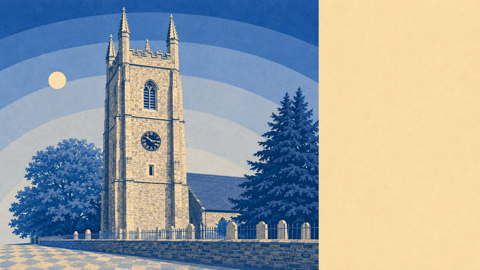
Heritage constraint is light. Twenty listed buildings in total, two at Grade II* and 18 at Grade II, among them the Church of St Peter and St Paul, the Church of St Swithin and Derriton Viaduct. One conservation area covers Holsworthy itself. For most owners that means windows, extensions and solar panels go through ordinary planning rather than a negotiation with the past. Inside the conservation area boundary the sums change, and they change most for anything visible from the street.
About 56% of homes are owner-occupied. The median age is 44. Around 34% of households are a single person living alone. Median household income, gross and before tax, was about £41,000 in the financial year to March 2023, modelled by the Office for National Statistics across the wider area. That combination buys a town where people stay put and know precisely who has moved in.
This page also covers Bradworthy, further out into the same farmland and sharing the same postcode district.
If you are buying a detached house with a garden and somewhere to keep a workshop, driving to work or working from a spare bedroom, and you would rather be five minutes from a field than five minutes from a platform, Holsworthy does that better than nearly anywhere at this price. The space is real, the ownership is achievable on an ordinary income, and the walk to green does not require a car park.
If your week depends on a train, a hospital appointment you cannot plan around, or a job that needs an office in a city, this is a very long drive repeated until you resent it. Buyers who check the energy band and the heating source before offering do fine. Buyers who fall for the stonework and find out about the electric-only heating in December write the angry reviews.
The town has been here since Domesday listed it as Haldeword in 1086, took its annual fair charter from James I in 1614, and held for the Royalists through the Civil War until Fairfax sent a party over from Torrington on 17 February 1646 and took the place. Prisoner of war camp 42 stood north of town near what is now Park Close, its German and Italian prisoners put to work on the farms, which was one answer to a wartime labour shortage. The famous Holsworthians are listed in birth order and come to Benedictus Marwood Kelly, Robert Newton Flew and Barbara Mandell, a list short enough to sort properly.
Holsworthy is an above-average place to live and very specific about who it is above average for. Its real strength is the surrounding area and the green space in it, which is close, plentiful and unencumbered by anyone's designation. The weak spot is the community picture underneath, where the national deprivation ranking has held this area in its third decile since 2019 and the health and qualification figures sit alongside it. Buy here for the fields, the room and a house you can own outright years earlier than you could within sight of the sea. Do not buy here on a promise that it is about to change. It is not about to change. That is the entire proposition.