The area around Holloway is greener than its main road suggests. A park is never more than a short walk away. The streets are packed with shops, pubs and offices. Water is a little further off but still reachable. Nature here comes with railings, a bye-law board and someone running past you.
Green space is everywhere. The typical Holloway home is about 93 metres from public green space, and about 64 green spaces lie within a kilometre on average. Finsbury Park, Waterlow Park and Highgate Cemetery are all close by, with Kenwood and Hampstead Heath further up the hill. Tollington and Stroud were villages in the Domesday Book, and both names survive today in Tollington Park and Stroud Green. The countryside that once surrounded them has been divided into municipal parks.
Water takes a little more effort. The nearest blue space is about 570 metres from the average home, with about four within a kilometre. The Regent's Canal is the best known of them, a conservation area in its own right. Holloway has no waterfront, but the canal towpath is not far.
The National Cycle Network is about 4.5 kilometres away on average, and no postcode in Holloway is close to it. There is no ancient woodland here either. Cyclists will find the nearest long-distance route a fair ride away, along roads that are not quiet.
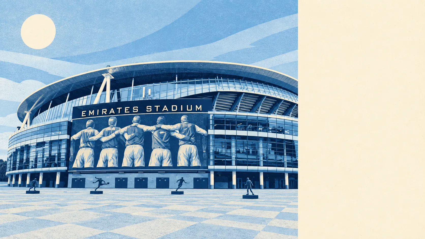
The high street is crowded. Holloway has 524 shops, 30 pubs and 41 restaurants on the rated-premises list. The Nag's Head sits at the commercial centre, between Upper and Lower Holloway, and the Emirates Stadium, home of Arsenal, is the largest building on the map. People come here to shop, and on match days they come to watch football.
Islington's fine-particle pollution was 9.7 micrograms per cubic metre in 2024, a council-wide annual average.
Holloway feels like what it is: a main road that turned into a shopping centre, with residential streets running off it on both sides. Tufnell Park to the north-west is greener and calmer, and the stretch around Highbury & Islington and Drayton Park at the southern end leans towards terraces. The variety is all within walking distance of the same bus stop.
Private gardens are scarce. Across the area there are about 14,500 square metres of garden for every 1,000 residents, so most people's outdoor space is the park rather than a lawn of their own. On a viewing, ask whether "the garden" belongs to the flat or is shared by the whole building, because in Holloway the answer changes the price.
The Valuation Office's list records 2,096 rateable premises in Holloway. Offices are the largest group, with 613, followed by shops. These are premises on the rating list rather than a count of businesses currently trading, but the mix makes clear that Holloway is a working district as well as a residential one. More people come here to work in an office than you might expect from the bus stops.
The Food Standards Agency has rated 473 food outlets in Holloway. About 55% hold the top hygiene score, and about 9% sit at the bottom end of the scale. Most kitchens are in order, but a minority are not, so it is worth checking the score on the door before booking a table.
No area of outstanding natural beauty, site of special scientific interest or ancient woodland overlaps Holloway. The green space here is parks, cemeteries and canal towpaths, and none of it is protected countryside.
For a place built along a trunk road, Holloway's surroundings are one of its real strengths. A park is close to almost every front door, and the hill up to Kenwood starts not far beyond.