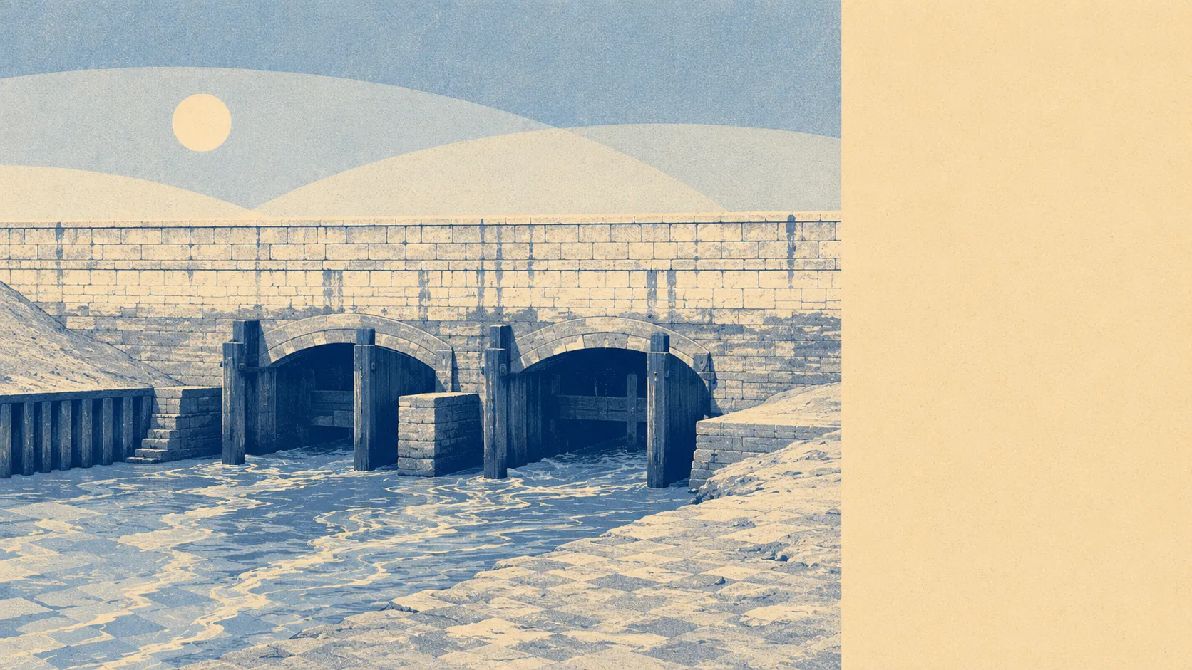
Flat, green, and entirely man-made. The Somerset Levels only exist as usable land because somebody drains them, and the landscape around Highbridge is the visible result: fields, straight channels, big skies and one hill doing all the work of a horizon. Green space is close to almost every door. Water is closer still. It is not scenery that photographs well, and it is genuinely lovely to live in.
For public green space, homes here sit an average of about 280 metres from the nearest site, with around 12 separate green spaces within a kilometre. That is a level of access most towns would take, and it is not the manicured kind. It runs from the Highbridge Garden of Remembrance in the town to open ground and moor edges on the way out of it.
Water is the defining feature and the numbers say so plainly. The nearest blue space averages about 80 metres from a home, with roughly 159 separate stretches of water within a kilometre. Before anyone pictures a lakeside idyll, most of those are rhynes and drainage channels, the arteries that keep the Levels farmable. It means water in the view from nearly everywhere, wildlife that comes with it, and a landscape that would revert within a season if the pumps stopped.
For getting out into it under your own power, the National Cycle Network runs an average of about 1.5 kilometres away, with roughly 39% of postcodes close to a route. Flat terrain and lanes with almost no gradient make this genuinely good cycling country, which is the compensation for a landscape that offers no views from height unless you climb the knoll at Brent Knoll, which dominates the whole plain and can be seen from most of it.
On what the area is actually made of, the rateable premises list carries 47 shops, 62 offices, 13 pubs, 8 restaurants and 29 holiday lets, out of 637 premises in total. Those are premises on the valuation list rather than businesses currently trading, so treat the count as the shape of the place rather than a directory. The office figure is the surprise: this reads as a working area with employers in it, not a dormitory with a chip shop.
Air quality is unremarkable in the good sense. Fine particle levels for the council area came in at about 5.5 micrograms per cubic metre in 2024, which is the sort of number that comes with open country, a coastal wind and no city.
The character of the surroundings is villages rather than suburbs. Brent Knoll, East Brent, East Huntspill, Huntspill and Mark all sit within the area this page covers, each a proper settlement with its own primary school and church rather than an estate with a name. They are connected by lanes that follow drainage lines rather than contours, which is why every journey out here takes longer than the map suggests and why nobody drives fast.
Private outdoor space is the part most descriptions leave out. Across the 12 neighbourhood areas measured, gardens account for around 187,000 square metres per 1,000 residents. That is the figure that matters more than any public park count: houses here come with their own ground, and enough of it to put something on.
For eating out, 95 premises carry a food hygiene rating, and about 92% of them hold the top score, with around 1% at the bottom of the scale. That is a healthy picture across a small number of places.
One honest absence is worth naming. There is no area of outstanding natural beauty here, no site of special scientific interest and no ancient woodland. Nothing about this landscape has been officially designated as worth protecting for its looks, which is a statement about committees rather than about the place. The Levels are working land, and they have never pretended otherwise.
The surroundings are one of the real strengths of living here. Green space and water on the doorstep, gardens of a size that has become unusual, and a landscape with no pretensions and no crowds, which for anyone who wants outdoors as a daily habit rather than a weekend outing is close to ideal.