Yes, if you can live with the water. Houses here cost about what a flat costs in the places people compare it to. The Environment Agency has most of the area sitting in the river-and-sea flood zone. Almost everyone gets fast broadband. It is a working town on the Somerset Levels where the price is honest and the ground is low, and those two facts are the same fact.
The housing is post-war and it is houses. On the council-tax valuation list, which covers every dwelling rather than only the ones sold recently, about a quarter of homes are detached, 23% are semi-detached, 19% are bungalows and 18% are terraced. Flats make up 11%, which is the number that matters most: this is not a place with a rental block on every corner. Around 21% of the stock was built before 1930, so the Victorian and Edwardian element exists but does not run the town. Heating is where a buyer should pay attention. Around 56% of homes are on mains gas, and roughly 10% run on electricity alone with no gas at all, which in an older bungalow on the Levels is a running-cost problem you want to know about before the viewing rather than in January. Energy performance splits accordingly: about 59% of certificated homes sit in bands A to C, 27% are band D, and 14% are band E or worse.
On price, the Land Registry's last twelve months to May 2026 put the median sale at £260,000 across 160 transactions. The spread by type is wide enough to matter. Detached homes came in at a median of around £400,000, semi-detached at about £252,000, terraced at roughly £227,000, and flats at £112,500. That flat figure is not a typo and it is not a bargain in disguise, it is what a small flat costs in a town nobody has decided to gentrify yet. Council tax reinforces the picture: band B is the most common band, and around 40% of dwellings sit in bands A or B, which is the sort of distribution that tells you more about a place than any brochure will.
Renting is a different market and the honest figure is a wide one. Typical private rent across the Somerset area runs at about £990 a month as of April 2026. That is the local-authority average rather than Highbridge's own, so treat it as the shape of the market rather than the price of a specific front door.
On safety, the published rate is around 94 recorded crimes per 1,000 residents over the twelve months to May 2026, which sits essentially level with the Somerset average of about 93. Not better, not worse, no story. Anyone selling you a narrative about the Levels being either lawless or idyllic is working from the same numbers as everyone else and choosing which half to mention.
Schools are the quietly reassuring part. Ofsted has graded 140 settings across Somerset, of which 101 are good or better and 5 are outstanding. Locally, Key Stage 2 maths across four schools in the area averages a score of about 100, which is the national expectation almost exactly. Key Stage 4 attainment at the one secondary school covering the area comes in at about 41. The King Alfred School an Academy is the comprehensive that serves both Highbridge and Burnham-on-Sea, and Churchfield Church School is the primary in the town itself, with Brent Knoll, East Brent, East Huntspill, Mark and West Huntspill all running their own primaries. Anything else you may have heard of locally has either closed or renamed, which is its own kind of information.
Connectivity is better than the location suggests. Around 84% of premises can get gigabit broadband and about 91% can get superfast, with well under 1% below the universal service obligation. Highbridge and Burnham-on-Sea Rail Station sits on the Bristol to Exeter line, and yet only about 1% of residents commute by train while roughly 60% drive, which tells you what the station is actually used for. There are 217 bus stops in the area with an average of 33 scheduled weekday services per stop, though only about 31% of stops see any weekend service at all. Around 23% of residents work from home, which for a town that grew up around a level crossing is a decent joke on itself. A hospital is about 23 minutes by car, a general practitioner about 10.
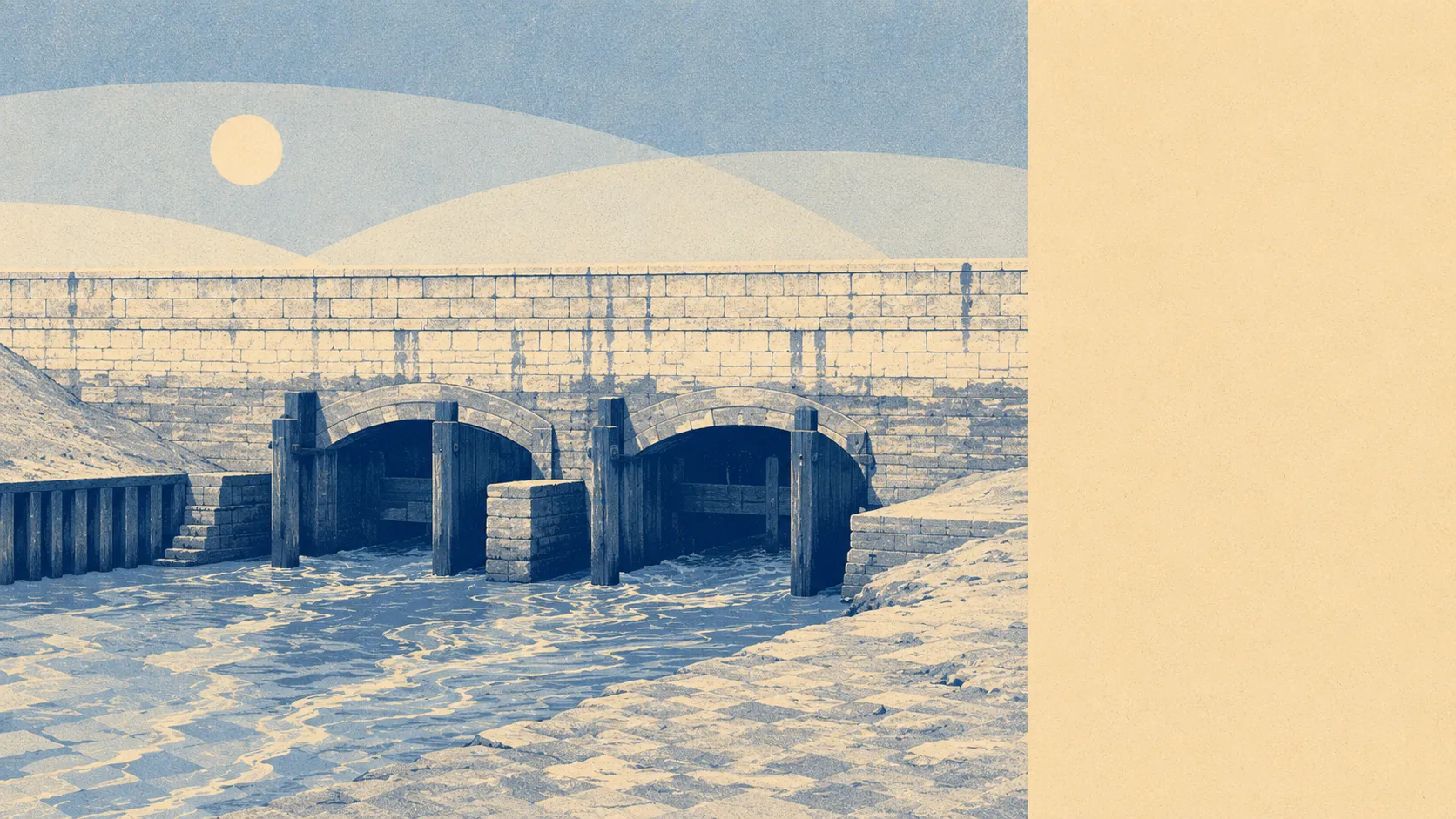
The environment is where the honesty gets uncomfortable. On the river-and-sea flood zones, roughly 81% of the area sits in flood zone 3, the highest category, with a further 5% in zone 2. On the separate postcode-level indicators, which include surface water and other sources, about 9% of postcodes carry a high rating on at least one measure, 19% a medium and 73% a low. Around 6% of the area has a recorded historic flood, and 30 flood events are on record, the most recent in March 2009 from the sea overtopping defences. About 97% of postcodes fall under the Axe Brue Internal Drainage Board, which is what the Somerset Levels means in administrative form. The compensation is genuine: green space averages 278 metres away with about 12 sites within a kilometre, and water is never more than about 82 metres off, though that last one is rather the point. Ground conditions carry a moderate compressible-ground classification across the area and a moderate running-sand classification across most of it, which is what building on drained marsh does.
Heritage constraints are light where most people live. There are 112 listed buildings in the wider area, of which 5 are Grade I and 106 Grade II, plus one conservation area, at Burnham-on-Sea, and three scheduled monuments including the hillfort on Brent Knoll. Unless your offer is on one of them, replacing windows or extending sideways is a planning conversation rather than a planning fight, which is not true of the pretty Somerset towns further inland.
The character is settled and owner-occupied. Around 67% of homes are owned, the median age is 48, and median household income runs at about £52,000 gross before tax. Roughly 28% of households are a single person and around 14% are a single pensioner, which is a real feature of the place rather than a footnote. The page covers the villages around the town as well as the town itself, so Brent Knoll, East Brent, East Huntspill, Huntspill and Mark are all in scope, and they are lanes-between-drainage-channels country rather than anything hilly.
Who it suits: buyers who want a house with a garden and a driveway on a normal income, people who work from home or drive to work, families who want a straightforward primary and a comprehensive that takes everyone, and anyone who has done the flood-insurance homework and priced it in properly.
Who it does not suit: anyone who needs a train they will actually catch, anyone buying at the top of their budget with no headroom for insurance premiums, and anyone who wants a town centre with banks in it. The last one closed in 2014 and nothing replaced it.
For a town of this size the roll of former residents is oddly heavy. Edward Higgins, who ran the Salvation Army worldwide in the early 1930s, was born on Church Street. Frank Foley, the passport-control officer who saved thousands of Jewish lives before the Second World War and has been called the British Schindler, was born here too, and there is a statue of him near the Community Hall. Two men who spent their careers getting people out of trouble, from a town whose own history is mostly about things leaving: the wharf, the cattle market, the railway works and its four hundred jobs, the last bank.
So it is an average place with two loud outliers. Its real strength is what your money buys, because for the price of a modest flat somewhere fashionable you get a whole house with room around it, and the council-tax bands back that up rather than clawing it back. The weak spot is flood risk, and it is not a marginal weak spot, it is the defining physical fact of living on drained marshland behind a coastline. Get the flood report, get the insurance quote, and then decide. Everything else about Highbridge is negotiable.