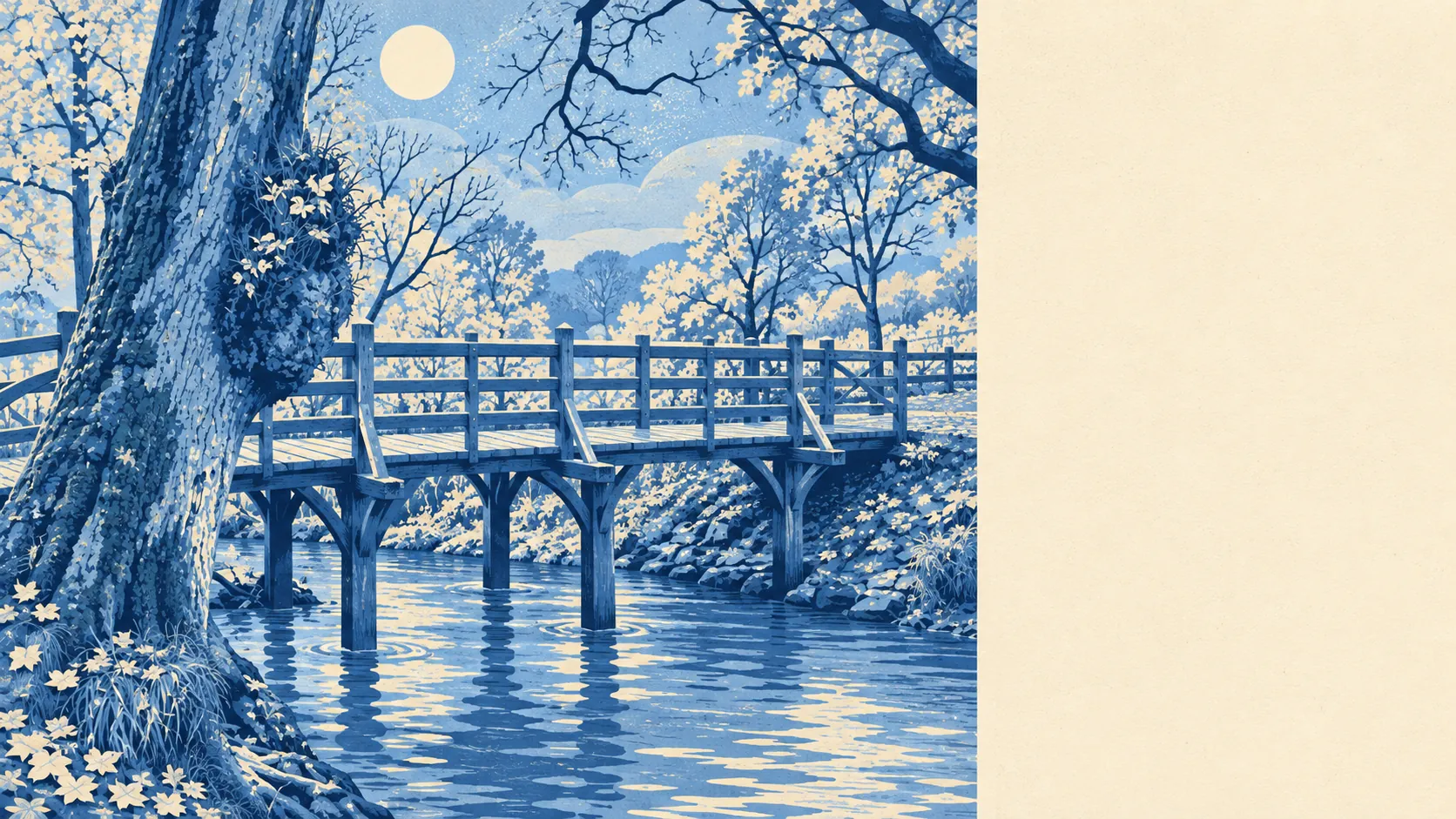
The country around Hartfield is beautiful, and there isn't much else in it. Every postcode sits in protected landscape. Green space is a few minutes' walk away. Ponds and streams are closer than the nearest shop. Out here the scenery is plentiful and the conveniences aren't.
On average, each home in Hartfield has five public green spaces within a kilometre, and the nearest one is about 184 metres away on average. That is closer than many town-centre flats get to a park.
There is water nearby too. The nearest pond, stream or lake is about 204 metres away on average, and there are around 19 of them within a kilometre. This is Weald country, with streams in the valleys and ponds left over from centuries of working the land.
The National Cycle Network is about 440 metres away on average, and about 73% of postcodes sit close to it. No ancient woodland is recorded inside the village boundary itself. Whether that surprises you depends on how much of the Weald you've walked.
For amenities, the rated-premises data records six shops, four pubs and no restaurants. So there are four pubs and nowhere dedicated to eating out, which is Hartfield's idea of a balanced diet. All seven food businesses with a published hygiene rating are listed in the eating-out paragraph below.
Fine-particle air pollution across the Wealden council area averaged about 6.4 micrograms per cubic metre in 2024. That is a district figure, not one measured in Hartfield's lanes.
Every postcode in Hartfield sits inside the High Weald Area of Outstanding Natural Beauty. That shapes the view from almost every window, and it also shapes what can be built in front of it.
The village has the feel of an old crossroads that never grew into a town. The Parish Church of St Mary, whose nave dates from the thirteenth century, anchors the centre. Bolebroke Castle and Buckhurst Park sit nearby, and Upper Hartfield, Colemans Hatch, Holtye and Hammerwood are scattered around the edges of the parish. The iron industry left its mark too, with the Newbridge blast furnace and old iron minepits now scheduled monuments. Five hundred years ago this was an industrial area, and it spent the centuries since turning back into countryside.
Homes have plenty of private outdoor space. The two neighbourhood areas covering Hartfield carry roughly 828,000 square metres of private garden per 1,000 residents, which describes a village of big plots and long lawns, not courtyard gardens. Anyone moving from a town garden should budget for a lawnmower as well.
The business rating list records 22 rateable premises. Offices are the largest group at six, and the rest are spread across shops, workshops and a mix of other uses, in ones and twos. These are premises on the valuation list, not a guide to what is trading on any given day.
Eating out means pubs, and the kitchens are clean. Of the seven food premises with a published rating, about 86% hold the top hygiene score and none sits at the bottom of the scale.
Beyond the Area of Outstanding Natural Beauty, no Site of Special Scientific Interest and no ancient woodland overlaps the village boundary itself. The nearest heath and woodland of that kind begin in the wider parish, so the most protected landscape starts a short drive or a long walk from the village, rather than at the back fence.
The surrounding area is Hartfield's biggest strength: protected landscape all round, green space and water within a short walk, and gardens large enough to need a ride-on mower.