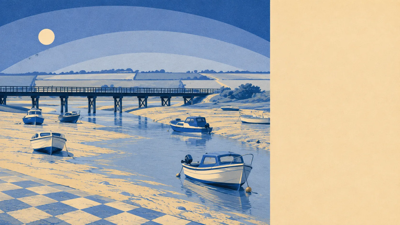
Green, tidal and generously supplied with places to walk a dog. Ten open spaces sit within a kilometre of the average front door. Water is a couple of hundred metres away. The private gardens are enormous by any urban standard. None of it carries a national designation or appears on a poster, which is a large part of why it stays quiet.
On green space, the average postcode here has about ten separate open spaces within a kilometre, with the nearest about 180 metres away. Nobody in this village has to drive to a park, which in modern Britain has quietly become a luxury item.
Water is closer still. The average distance to blue space is about 280 metres, and there are roughly 43 water features within a kilometre of the typical postcode, which is what happens when a village sits between the tidal Taw and Fremington Pill. Half of that view disappears twice a day and comes back with the tide, which is either the entire appeal or a permanent irritation, depending on whether you own a boat.
Getting out into it is straightforward. The National Cycle Network runs about 630 metres from the average postcode, and about 25% of postcodes sit close to it, so the route out of the village on two wheels is a genuine option rather than a leaflet. No ancient woodland is recorded anywhere in the area.
Across the wider postcode area, the rating list carries 655 shop premises, 84 pubs, 52 restaurants and 449 offices. That is the amenity base of a working corner of North Devon rather than a village high street, and it is spread across the towns and villages around the estuary rather than concentrated at the end of your road.
Fine particle levels for the council area came in at about 4.7 micrograms per cubic metre in 2024.
The surroundings are a mix of estuary, farmland and small settlements that run into each other. Instow sits down the water, Yelland and Chivenor to the west, with Wrafton, Bickleton, Muddlebridge and Lovacott Green scattered inland and Roundswell marking the edge of Barnstaple. Tapeley Park is the nearest thing to a formal landscape. For history in the fields, the area holds a Civil War fieldwork on Staddon Hill and a double stone alignment out on Isley Marsh, neither of which is signposted in the way a heritage attraction would be, both of which are older than anything else you will walk past.
Private outdoor space is the part the public figures never capture. Across the four neighbourhood areas here, private gardens run to roughly 223,000 square metres for every 1,000 residents. In plain terms, houses here have proper gardens, and the family that spent years measuring a city courtyard will find the adjustment straightforward.
Within the village itself, the valuation list carries 58 rateable premises. These are premises on a list rather than businesses currently trading, and the count describes a village that supports a handful of local operations rather than a commercial centre. The wider postcode area also carries 958 holiday lets, which is the North Devon economy declaring itself without ceremony.
For eating out, 13 premises in the area hold a food hygiene rating, about 92% of them at the top score, and none at the bottom of the scale.
One honest absence is worth stating: no area of outstanding natural beauty overlaps this area, no site of special scientific interest, and no ancient woodland. The landscape here is working farmland and a working estuary rather than protected scenery, and that is a description rather than a criticism. It also means no additional layer of landscape designation sitting over what you can do with a property.
The surroundings are the single best thing about living here: green space at the doorstep, water in every direction, gardens with room in them, and none of it rationed by a designation or a car journey.