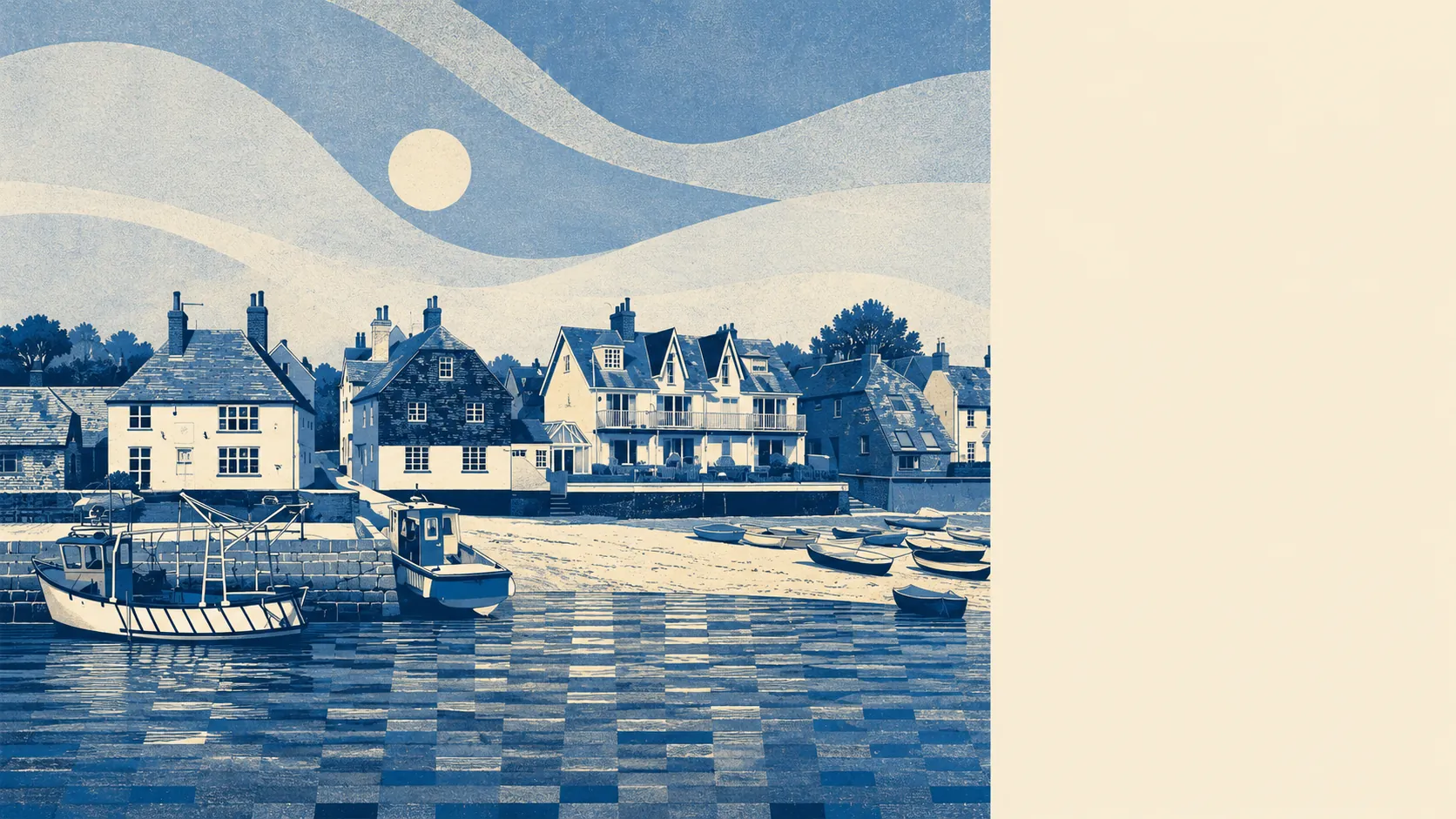
Quiet, watery, and protected by people in lanyards. About 18% of the area sits inside the Chichester Harbour Area of Outstanding Natural Beauty. Greenspace patches average roughly 245 metres from the front door, with about ten within a kilometre of the typical address. Over a third of postcodes sit within 500 metres of the water. The named villages on the edges run from Westbourne and Southbourne to Warblington, Thorney Island, and Langstone.
The green-space picture is one of the best things about the area. The nearest greenspace patch averages about 245 metres from the typical address, which is a five-minute walk and close enough that people use them without thinking. Within a kilometre the typical home has about ten distinct patches available, which is the geography of a town that has parks, recreation grounds, and harbour edges all in roughly the same neighbourhood. Bluespace adds the other side of the picture: about 267 metres to the nearest water on average, and roughly 74 individual water features within a kilometre. That last number is what happens when a town sits at the head of an inlet rather than next to one, and the water is broken up into mill ponds, channels, and tidal arms rather than a single shoreline.
The big designation is Chichester Harbour Area of Outstanding Natural Beauty, which overlaps about 18% of the local footprint and includes the lanes that lead down to the water. That is the protected landscape sitting beneath much of what makes Emsworth visually distinct from the post-war ribbon development a few miles inland. The brief shows no Site of Special Scientific Interest overlap inside the footprint and no ancient woodland either, so the protected character is harbour, not forest. The water and the small fields running back from it are doing the heavy lifting on what the area looks like.
The villages around Emsworth thread out along the harbour and up into the back-lanes. Westbourne sits to the east, inside the conservation boundary the council drew around its older lanes. Southbourne and Nutbourne run along the line of the railway toward Chichester. Warblington sits between Emsworth and Havant with the ruined Warblington Castle as the local heritage anchor. Thorney Island, accessed by one road out, sits on a former Royal Air Force site with a small civilian community alongside it. Langstone runs to the south-west, where the road bridges out to Hayling Island and where the tidal foreshore stays busy with paddle boarders, sailors, and weekend walkers. Stansted House sits to the north-east as a country house with its own historic grounds, and Leigh Park (Staunton Country Park) provides a substantial green wedge between the harbour edge and the town of Havant. The named amenities are heritage-weighted rather than retail-weighted, which is the polite description of an area where the conservation officer has more influence than the shopping-centre architect.
The surrounding area rates as excellent on the headline measures, which is the brief's strongest dimension agreeing with the lived geography. The harbour does the heavy lifting, the protected designation backs it up, and the green-space patches are close enough to be daily rather than weekend. If a south-coast harbour landscape, an Area of Outstanding Natural Beauty on the doorstep, and a village-quiet hinterland are what you're after, the surroundings here are doing it about as well as any south-coast postcode does.