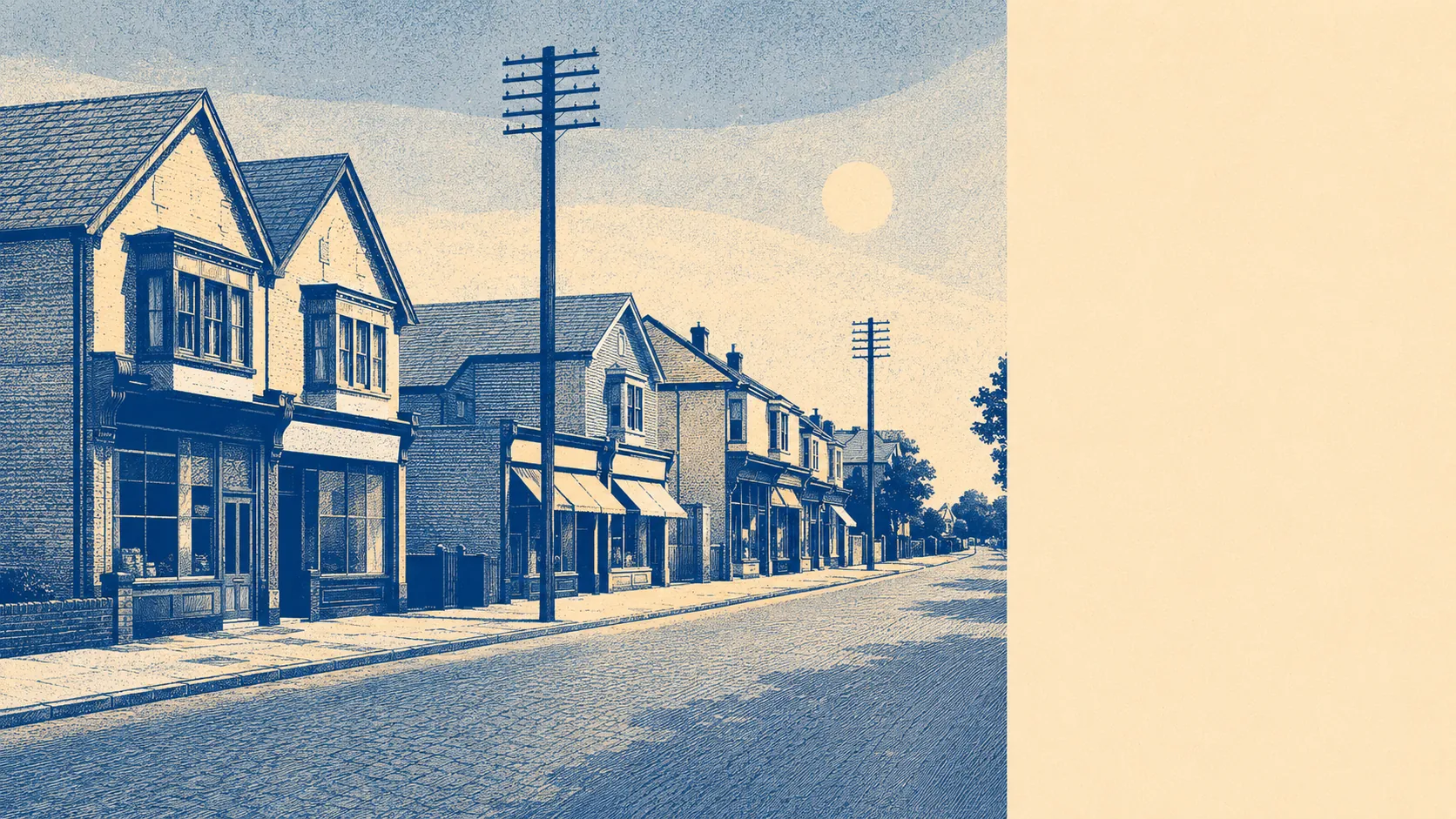
Green in a way that surprises people who assume Portsmouth ends at the water. Open space is a couple of minutes from almost every front door. The harbour is close enough to walk to and far enough that nobody calls this a waterfront. Gardens here are big by the standards of anywhere in the city. This is the bit of Portsmouth that got the space, and it has never quite worked out how to mention it without sounding smug.
Green space access is the standout. The average postcode sits around 190 metres from open green space, with roughly 15 separate green spaces within a kilometre. That is not one big park doing the work. That is a suburb built with gaps in it, where the walk to somewhere green is shorter than the walk to the shop.
Water is nearly as close. The average postcode sits around 770 metres from blue space, with about 19 separate water features within a kilometre. Langstone Harbour sits along the southern edge, and the practical effect is that a fair amount of what the map calls green space here is actually the edge of something tidal.
For getting out into it under your own power, the National Cycle Network runs an average of around 390 metres from the typical postcode, and roughly 71% of postcodes sit close to it. That is genuinely good access to a traffic-free route, and it sits oddly alongside the small share of people who actually cycle to work.
Private gardens are the thing the public-space figures miss. Across the area there are around 107,800 square metres of garden per 1,000 residents. That is a serious amount of private outdoor space, and it is the reason the housing stock here commands what it commands. People are not buying the park. They are buying the bit at the back.
On what is actually here, the business rating list records 342 rateable premises in the area, and the shape of it is telling: industrial and warehouse units top the list at 77, followed by 67 warehouse premises, 52 shop premises and 29 further industrial units, with offices and a handful of other categories behind them. These are premises on the valuation list rather than businesses currently trading, so read them as the built fabric rather than the shopping experience. The wider ownership data records 478 shop premises, 31 pubs and 37 restaurants across the surrounding area, which is a working suburban high street rather than a destination one.
Eating out is decently regulated, for whatever that is worth to you. Across 62 rated food premises in the area, around 63% hold the top food hygiene score and about 7% sit at the bottom of the scale. Nobody is naming names.
Air quality across the Portsmouth council area recorded fine particle levels of around 6.6 micrograms per cubic metre in 2024. That is a council-wide figure rather than a street-level one.
What the area does not have is any formal landscape protection. No area of outstanding natural beauty overlaps it, no site of special scientific interest, and no ancient woodland. That is worth saying plainly rather than leaving as an absence: the green space here is municipal and domestic, parks and gardens and the harbour edge, not designated countryside. It works because there is a lot of it and it is close, not because a committee decided it was special.
Fort Purbrook and Fort Widley sit up on the hill to the north, Portsdown Hill runs along the top of the place, and the harbour runs along the bottom. For a suburb inside a city boundary, the surroundings here are exceptional, and the people who live in them are notably unimpressed.