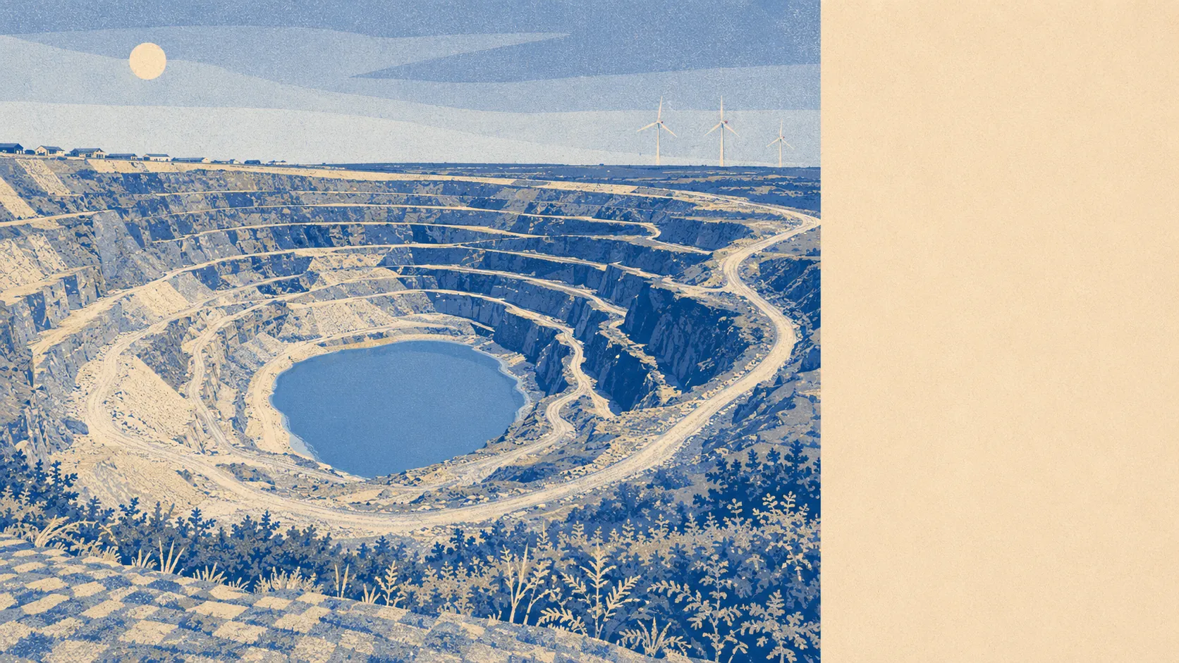
Farmland, moor and a stretch of coast nobody has got round to designating. Green space starts a few hundred metres from most front doors and water is not much further. The gardens are enormous by any urban measure. The nearest waymarked cycle route is a drive rather than a stroll. This is working countryside rather than protected countryside, and the difference shows up in the price far more than in the view.
Green space is genuinely on the doorstep. The typical postcode here sits about 283 metres from its nearest patch of accessible green space, with roughly five within a kilometre. That is not a park-per-postcode arrangement so much as a village where the fields start where the houses stop.
Water is close behind, at an average of about 717 metres to the nearest blue space, with four or five within a kilometre. In practice that means streams, ponds and the reservoirs and inlets that punctuate this part of the county, rather than the sea, which is a drive.
Cycling is the weak link in an otherwise strong outdoor picture. The nearest National Cycle Network route sits about 5.4 kilometres away on average, and none of the area's postcodes count as close to one. The lanes are the cycling infrastructure here, which suits confident riders and nobody else.
The high street, such as it is, comes down to five shops and two pubs, with no restaurants on the rating list at all. Of the six food premises carrying a hygiene rating, about 83% hold the top score and none sit at the bottom of the scale. Small, then, but not scruffy.
Air quality is a quiet advantage. Fine particle levels across the Cornwall council area averaged about 5.1 micrograms per cubic metre in 2024, which is what you get in a county with no motorway network and a great deal of weather coming in off the Atlantic.
The character of the surroundings comes from the hamlets rather than the village. Westdowns sits just south west and is often taken for part of Delabole by people who have never asked. Trewarmett and Trebarwith Strand lie toward the coast, the latter with a sand beach reachable only at low tide and Gull Rock standing offshore, and Trebarwith Nature Reserve nearby. St Teath, the parish Delabole belonged to until it got its own council in 2021, sits inland with Treligga and Valley Truckle scattered between. The landscape is dotted with prehistoric remains, including the bowl barrow at Condolden and the round at Castle Goff, none of which will trouble your property search but all of which explain why the fields are shaped the way they are.
Private outdoor space is the number that most rural pages never mention and buyers most want. Across the area, gardens work out at roughly 247,000 square metres per 1,000 residents. Whatever that sounds like in the abstract, in practice it means the house you buy here almost certainly comes with real ground rather than a paved rectangle and a wheelie bin.
Commercially, the valuation list carries 49 rateable premises in the area, including 8 offices, 5 shops and 2 pubs, alongside 26 holiday lets. Those are premises on a list rather than businesses currently trading, and the holiday let count is the one worth sitting with, because it tells you how much of the local building stock is now earning its living from people who leave on a Saturday.
The formal designations are absent entirely. No area of outstanding natural beauty overlaps this area, no site of special scientific interest, and no ancient woodland. That is a statement about paperwork rather than scenery: the countryside here is unlisted, unprotected and entirely ordinary in the official sense, which is precisely why it has stayed unfussy and cheap.
The surroundings are one of the best things about living here. Green space on the doorstep, water within a walk, serious gardens, clean air, and a coastline close enough to be a Sunday habit, all of it without a single designation making it anyone else's business.