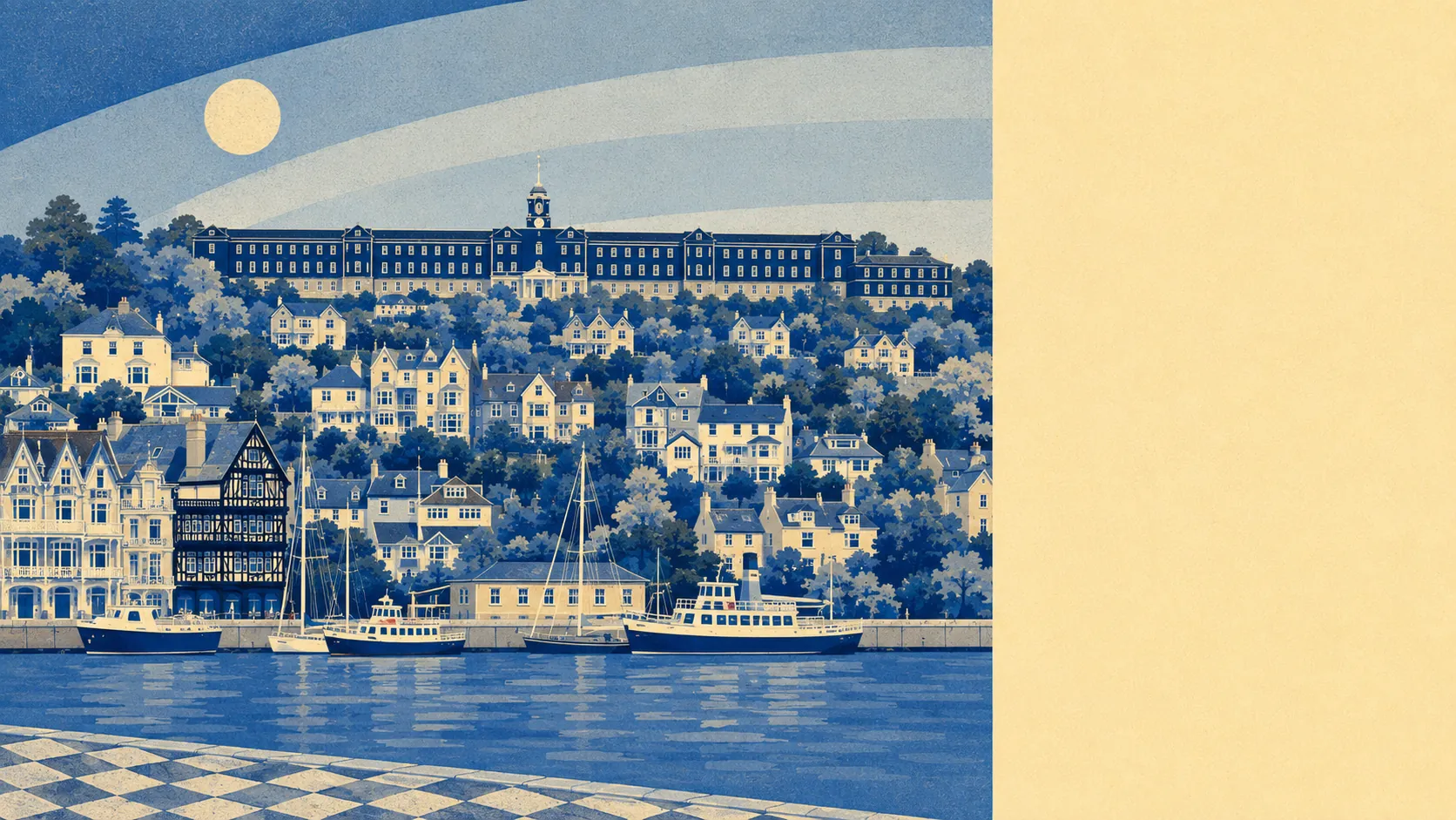
Exceptional, and it is the strongest single thing this town has going for it. Green space sits barely a hundred metres from the typical front door. Water sits a few hundred metres beyond that. Most of the area falls inside a protected national landscape. Whatever else Dartmouth asks of you, the setting is not the part you end up compromising on.
Green space is close to relentless. The average postcode here sits about 114 metres from accessible green space, with roughly 17 separate sites within a kilometre. That is not a park at the end of the bus route. That is green space as the default condition of the place, interrupted occasionally by houses.
Water does the same job. The average distance to blue space is about 337 metres, with around 60 access points within a kilometre, which is what happens when a town is built along a tidal river that runs deep inland. The estuary is the reason the town exists and the reason people still queue to buy into it.
Formal cycling infrastructure is the exception to all this generosity. The National Cycle Network sits an average of roughly 5.9 kilometres away, and no postcodes here count as close to it. There is no ancient woodland recorded within the area either. The walking is superb, the cycling is a matter of nerve and quadriceps.
The high street reflects a town that lives partly on visitors. The valuation list carries 169 premises rated as shops, 17 pubs, 11 restaurants and 41 offices, alongside 517 rated as holiday lets. That last figure is the single most honest number about the surrounding area's character, and it explains both the quality of the shopfronts and the volume of the summer.
Air quality is clean by English standards. Fine particle levels for the South Hams council area were about 5 micrograms per cubic metre in 2024, a council-wide figure rather than a street-level one.
The designation that shapes everything is the South Devon National Landscape, which covers roughly 72% of the area. That protection is why the hills across the water are still hills rather than housing, and why the view from the town has looked broadly the same for a very long time.
Beyond the town, the surroundings run to the sort of properties that end up in the care of conservation charities: Greenway on its wooded slope above the river, Coleton Fishacre near the coast, Lupton Park inland. The earthworks at Gallant's Bower sit just outside the town, a Civil War fort built by Royalist occupiers in the 1640s and demolished after they surrendered in 1646. Dartmouth Castle guards the river mouth. Kingswear faces the town across the water, and Dittisham, Stoke Fleming, Warfleet and Capton fill in the villages around it. This is a landscape where the history and the scenery are the same objects.
Private outdoor space is generous too, a point the public green space tends to overshadow. Across the five neighbourhoods measured, gardens run to roughly 175,000 square metres per thousand residents. People here mostly have their own patch as well as everyone else's.
For eating out, 85 food premises carry a published hygiene rating, and about 94% hold the top score, with none in the lowest bands. In a town this dependent on visitors, that is the kind of number that reflects genuine commercial self-interest rather than civic virtue.
Two honest absences worth recording: no site of special scientific interest overlaps this area, and no ancient woodland either. Neither is a fault. It simply means the protection here comes from landscape designation rather than from ecological listing.
The surrounding area is the best thing about Dartmouth by a wide margin, and it is not a close contest. Green space at the doorstep, water at the end of it, and a protected landscape wrapped around the lot.