Dagenham runs enough buses that a timetable is mostly decoration, and the streets those buses run through are still among the harder-pressed in England. The average stop sees about 25 buses in its busiest hour. Gigabit broadband reaches almost every home. A third of households get by without a car. The average neighbourhood still lands in the most deprived third of the country.
Getting about is where Dagenham earns its keep. The area has 150 bus stops, each averaging about 460 scheduled departures on a weekday, and every one of them is served at weekends too. The District line runs through the middle of town, National Rail stops at Dagenham Dock, and Elizabeth line trains leave from Chadwell Heath on the northern edge. Among people in work, about 12% commute by bus, 9% by train and 35% by car, and 20% work from home. Gigabit broadband is available to about 96% of premises, and every mobile operator covers the whole area. The Department for Transport's modelled times put the nearest town centre about 19 minutes away by public transport and ten by car, though those figures date from 2019 and bus routes get redrawn faster than roads do.
Home is the harder part. About 42% of households own their home, and the typical resident is 33. The Office for National Statistics models gross household income at about £63,000 a year, averaged across the area's neighbourhoods for the financial year to March 2023. On the government's Index of Multiple Deprivation, the average Dagenham neighbourhood climbed from roughly the second-poorest tenth of England in 2019 to the third in 2025. About 18% of households are overcrowded, about 24% of adults have no qualifications, and unemployment is about 4%. Moving up a rung on the deprivation index is the kind of good news the council can't easily print on a banner.
Flooding needs two measures read side by side. The Environment Agency puts none of Dagenham inside its river-and-sea flood zones. On the postcode indicators, though, about 69% of postcodes rate high on at least one flood measure, surface water included. The Thames made its name here in 1707 by tearing through the embankment and drowning the marshes. Today's risk falls out of the sky in a cloudburst and then goes looking for a drain.
Crime is better than the borough's name suggests. The Metropolitan Police's published rate for the year to May 2026 is about 88 crimes per 1,000 residents, roughly 21% below the Barking and Dagenham average of about 112. Dagenham is on the borough's signs. It carries less of the borough's crime.
Schools hold up. Across nine primary schools in the area, the average Key Stage 2 maths score is about 105, and the three secondaries average an Attainment 8 score of about 50. Robert Clack School, Mayfield School and All Saints Catholic School and Technology College are the secondary names. Ofsted has graded 21 schools across the whole of Barking and Dagenham and rated 20 of them good or outstanding.
Buying is cheaper than most of London. The Land Registry recorded 219 sales in the year to mid-May 2026, at a typical price of about £385,000. Terraces went for about £395,000 across 161 sales, flats for about £237,500, and semis for about £427,500 from just 28 sales. Most homes are in council tax band C, with about 18% in bands A or B. On streets built almost entirely in rows, the semi at the end of the terrace is the nearest thing Dagenham has to a country house.
Renters across Barking and Dagenham pay a typical £1,690 or so a month, on the Office for National Statistics' borough-wide average for April 2026. That was up about 6% on a year earlier.
The housing is overwhelmingly terraced. Of every dwelling on the council-tax list, about 67% are terraces, 26% flats and 6% semis, and detached houses barely register. About 61% went up before 1930. Energy certificates put 48% of certificated homes in band D and 42% in bands A to C. About 74% of homes heat with mains gas and about 10% with electricity alone. The London County Council started building the Becontree estate here in the early 1920s, and band D is roughly what a century of patching up that brick gets you.
Heritage red tape is light. Dagenham has ten listed buildings, two at Grade II* and eight at Grade II, and two conservation areas, Dagenham Village and Mayfield. Historic England has one listed building on its Heritage at Risk register. Outside those two areas, a terrace answers to the ordinary planning rules. The tightest controls are around the old village and the Church of St Peter and St Paul, probably built around 1205, so it has had about eight centuries to get used to planning committees.
Green space is close. The nearest is about 165 metres from the average front door, with around 20 within a kilometre, and water is about 555 metres away. Valence Park, Parsloes Park and King George's Field, renamed by Queen Elizabeth II in 1953, take most of the dog walks. The parks are the part of the estate plan that never needed a retrofit.
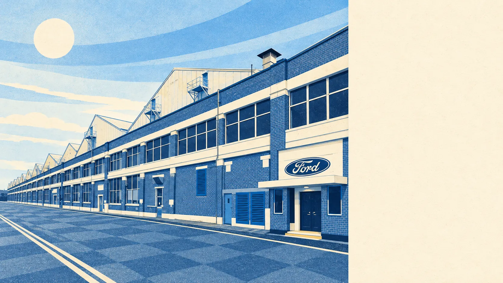
The town's names run from Alf Ramsey and Tony Adams to Sandie Shaw, Dudley Moore and Stacey Solomon. Its most famous moment, though, belongs to the Ford sewing machinists who walked out over unequal pay in 1968 and ended up with a film made about them. Very few car plants get remembered for the people who stitched the seats.
Dagenham works for a buyer who wants a real house with a garden inside London's reach, takes the bus without complaint and can live alongside neighbours who have less money than the postcode next door. Anyone chasing detached houses, a wealthy high street or a low deprivation ranking should look further out.
Dagenham comes out better than average because the buses, the broadband and the trains at Chadwell Heath do so much of the work. What holds it back is a neighbourhood still climbing slowly off the bottom of the deprivation tables, so buy it for the journey and the house, and expect the area itself to keep improving slowly.