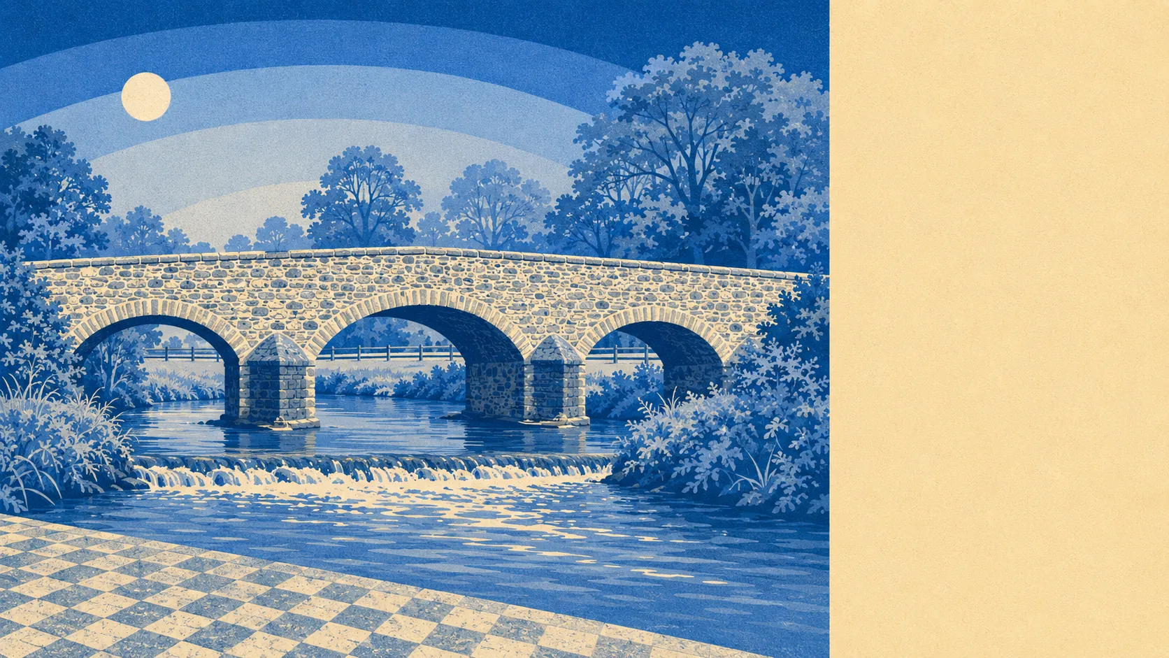
The area around Cullompton is the best thing about living in it. Open green space sits a few dozen metres from the average front door, with water not much further. No national landscape designation covers any of it. Nothing out here is on a poster, and nothing out here is roped off either. This is working Devon farmland rather than scenery, and its main virtue is that you can use it on a wet Tuesday evening without making a day of it.
Mapping of green space access puts an average of 34 separate patches of open green space within a kilometre of a postcode here, with the nearest about 92 metres away. Ninety-two metres is close enough that nobody gets in a car to reach it, which is the whole difference between having green space and having access to green space.
Water sits about 196 metres away on average, with around 30 stretches of it within a kilometre. The Culm does most of that work, and a leat still runs parallel to the high street past the sites of three former watermills, which is a more interesting piece of plumbing than most towns of this size have kept.
The National Cycle Network is the gap in all this. The nearest route sits about 4.6 kilometres away, and none of the town's postcodes count as close to one, so cycling here is a road activity rather than a network one. Ancient woodland does not feature anywhere in the area.
For amenity, the premises records across the wider area list 86 shops, 22 pubs and 4 restaurants. Pubs outnumber restaurants by a margin that settles any argument about what evenings here have historically involved.
Fine particle pollution measured 5.3 micrograms per cubic metre across the Mid Devon council area in 2024, which is a council-wide reading rather than anything measured on a particular road.
The surrounding villages are the texture: Bradninch and Willand, Kentisbeare and Plymtree, Ponsford, Colebrook, Stoneyford, Hemyock and Brithem Bottom, most of them small enough that the name outlasts the population. St Andrew's tower is the fixed point, visible across the valley long before the town itself resolves, and the monthly farmers' market, held on the second Saturday, is the oldest event of its kind in the South West. A town does not keep a market going for that long by accident.
Private outdoor space is where the area quietly wins. Across the five neighbourhoods measured, there is roughly 128,000 square metres of private garden per thousand residents. Most households here have their own ground, which is the thing public green space counts never tell you and the thing people actually use.
The business rating list carries 234 rateable premises in the town, alongside 78 offices and 63 holiday lets recorded across the wider area. A premises on a valuation list is a building with a rateable value rather than a business currently trading, so read it as the capacity of the place, not a directory of what is open this week.
Of 56 rated food premises, 75% hold the top hygiene score and about 11% sit at the bottom of the scale, which is worth knowing before you decide the takeaway lottery is a game you enjoy.
Worth stating plainly: no area of outstanding natural beauty overlaps this area, no site of special scientific interest, and no ancient woodland. That absence is not a failing. It means the countryside here is unprotected because it is ordinary, working land rather than a designated view, and nobody has built a visitor centre to explain it to you.
The land around this town does more for it than most of what sits inside it. Close, usable, generously gardened, and entirely undecorated by anybody's designation, which is exactly why it works.