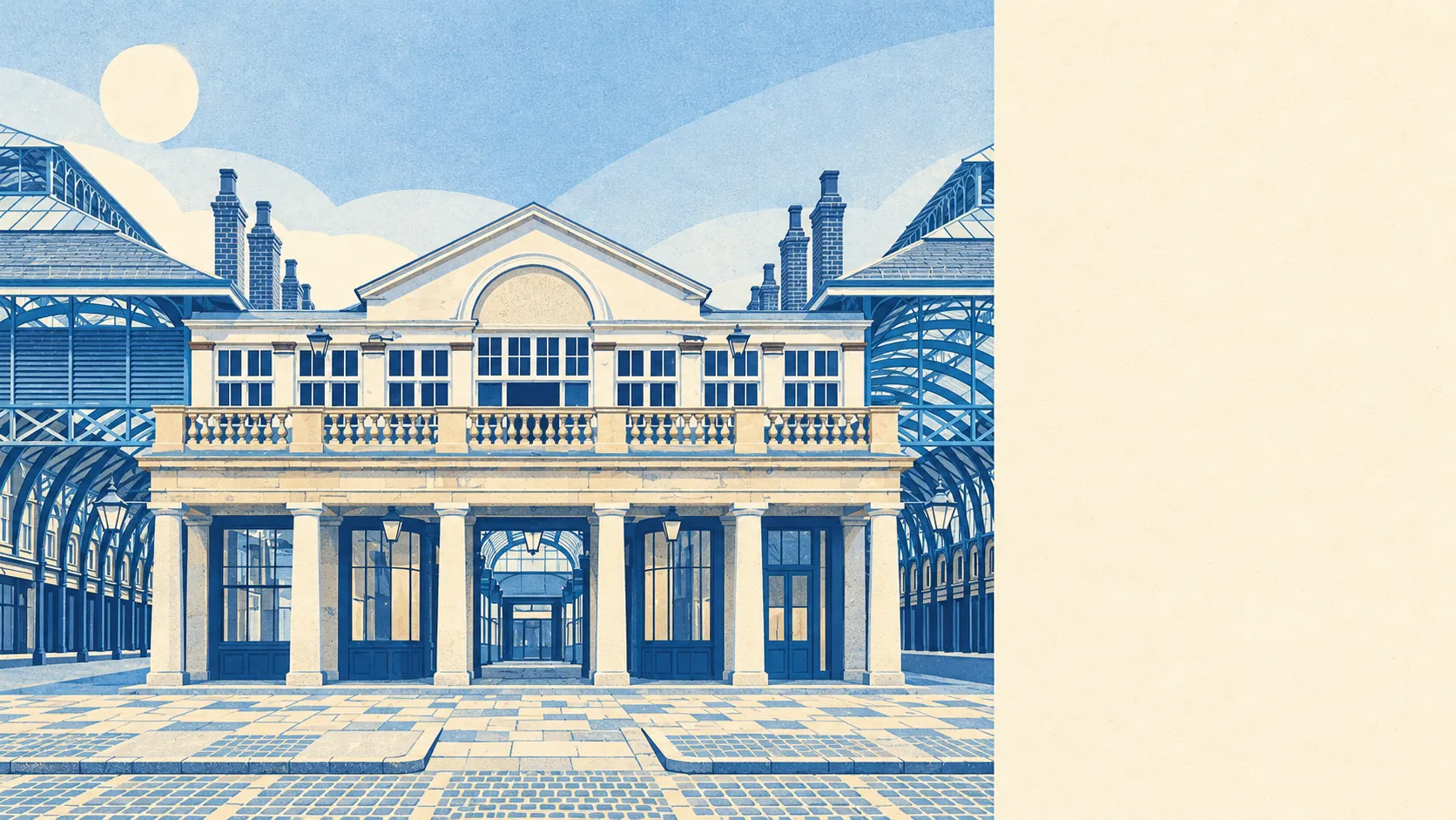
Covent Garden works out about even as a home, and the first thing a buyer has to accept is roughly 1,890 recorded crimes a year for every 1,000 residents. Most of it is theft aimed at people who came for the afternoon and left without their phone. You live a short walk from the Royal Opera House and even closer to a patch of grass. You also live inside the busiest pickpocket beat in the borough, every day of the year.
The Metropolitan Police recorded about 32,800 crimes across Covent Garden in the year to May 2026. That works out at around 1,890 per 1,000 residents on the published figure, roughly 329% above the Westminster average. The mix explains a lot of it. Theft from the person makes up about 29% of recorded crime here, against about 2% across England and Wales, and other theft adds another 22%. Violence and sexual offences, the biggest category almost everywhere, are about 14% here, against 35% nationally. So the number is mostly about tourists' bags and phones, which is cold comfort if it's your bag. The Metropolitan Police charges someone in about 10% of cases across the whole force, against about 12% nationally. That's a London-wide rate, and on a crowded Piazza the odds of getting your phone back are lower still.
The heritage picture is huge. Covent Garden has 2,390 listed buildings, 173 of them Grade I, and 58 conservation areas fall inside the wider map area drawn around it. For an owner, that means listed building consent for almost anything visible, from windows to shopfronts to the colour of the front door. Inigo Jones laid out the square in 1630 as the first modern square in London. The council has been protecting his work in detail since the Covent Garden Conservation Area was created in 1971, and the forms have only got longer.
The Land Registry recorded 29 sales in the year to mid-May 2026, all of them flats, at a median of £999,999. The house price index for the area puts the average at about £836,000 in May 2026, down by more than a fifth on the year before. The index puts flats at about £743,000 and the rare terraced house at £1,503,393. Council tax runs high up the bands. Band G is the most common, and only about 3% of homes are in bands A or B. Westminster's rates are low, though, so even a band H bill comes to about £2,100 a year. It may be the only bargain in WC2.
The Office for National Statistics puts typical private rent across Westminster at about £3,150 a month as of April 2026, down about 4% on the year. That figure covers the whole borough, Mayfair included, so a given flat off Long Acre could land either side of it. Renting is the normal arrangement here. About 46% of households rent privately and another 33% rent from a social landlord.
Flats make up about 94% of the homes on the council-tax list. Terraced houses are about 3%, and almost nobody owns a detached house in Covent Garden. About half the homes were built before 1930. Among homes with an energy certificate, about 71% are rated A to C, which is better than the age of the buildings suggests. Heating is split. About 49% of homes are on mains gas and about 27% rely on electricity alone. For a top-floor flat in an old building, that second figure is a running cost to ask about before you book the second viewing.
Only about 20% of households own their home. The median resident is 35, and modelled gross household income averaged about £76,600 in the financial year to March 2023. Those figures are skewed by the student and young-renter population: 649 people live in communal establishments, including the boarders at The Royal Ballet School, and the Courtauld Institute of Art is within the boundary too. About 54% of households are one person living alone. Couples with children make up about 6%, so the teenager you're most likely to pass on the stairs is a ballet student on the way to class.
Transport is easy. Covent Garden tube station on Long Acre is on the Piccadilly line, and London Charing Cross is the nearest mainline station. There are 401 bus stops in and around the area, and about 98% of the stops with timetable data have weekend services. No route runs through the middle any more, though, since the RV1 was withdrawn in 2019. About 79% of households have no car. In the 2021 Census about 56% of working residents worked from home and about 18% walked to work, a commute that easily beats the Piccadilly line at rush hour. Gigabit broadband reaches about 89% of premises.
Flood risk is low but real near the river. About 8% of postcodes carry a high rating on at least one flood indicator, surface water included. About 3% of the area is in the Environment Agency's highest-risk river-and-sea flood zone. Seventeen floods are on record, the latest in 1928, when the Thames came over its defences.
The surroundings are where Covent Garden does best. The nearest green space is about 120 metres away on average, and Victoria Embankment Gardens and Lincoln's Inn Fields are both within a few minutes' walk of most front doors. The river is about 440 metres away on average. The trade-off is traffic: about 98% of postcodes are near roads at 65 decibels or louder. The garden is close, and so are the buses.
This page also covers Aldwych, Charing Cross and St Giles. The pattern holds across all three: grand buildings, small flats, crowds outside.
Covent Garden makes sense for a single professional or a couple who walk to work, want the theatres and the river on the doorstep, and can live without a car, a garden of their own or children's bedrooms. Families who want a house and a school run, and anyone who wants their street to themselves after dark, will be happier in a residential part of the borough.
Safety is the cost of living here. The crowds that make Covent Garden what it is also bring the thieves, so a resident learns to keep their phone in an inside pocket by Long Acre the way other people learn to lock the car. Get used to that and you have a perfectly decent place to live, with London's best gardens and the Thames a short walk from the door.