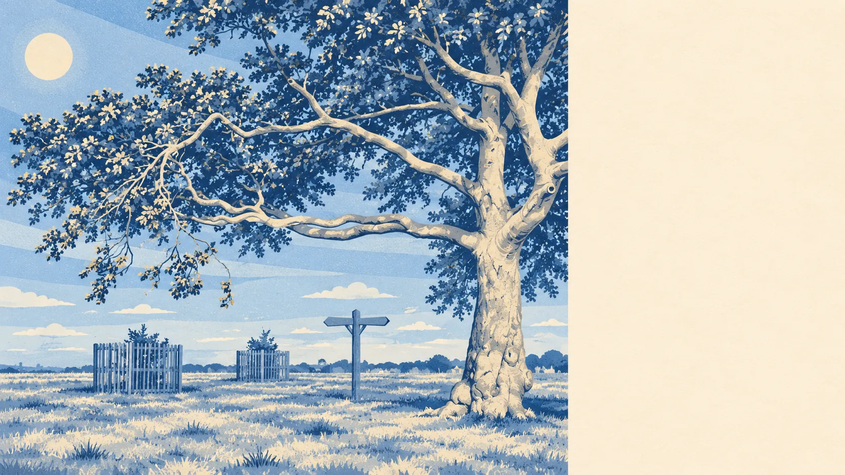
The area around Coulsdon is chalk downland with a suburb built into the valleys. The average home has around 16 green spaces within a kilometre. The town centre is mostly shops, with very few pubs. Farthing Downs and the Surrey villages begin where the semis end. Residents live in the valley and spend their weekends on the hill.
Green space is the area's strongest feature. The average home is about 190 metres from a public green space and has around 16 within a kilometre. Farthing Downs, where an Anglo-Saxon barrow field and an older field system are now a scheduled monument, is the best known. Few places inside Greater London can offer a walk past burial mounds as part of a normal day.
Water is scarcer, as you would expect on chalk. The nearest blue space is about 690 metres away on average, with roughly two within a kilometre. The local stream, the Bourne, flows underground most of the year, so the hills are the main draw.
The National Cycle Network is about 850 metres from the average home, and about 39% of postcodes are close to it. The area has no ancient woodland.
The town centre is practical. The rated-premises register lists 203 shops, 7 pubs and 10 restaurants. On the business rates valuation list there are 470 rateable premises, around 200 of them shops and 42 of them offices. Those are premises on a valuation list, and the list does not show which shops are currently trading. Coulsdon does its shopping locally and goes elsewhere for nights out.
Of the 158 food premises with a hygiene rating, about 68% hold the top score and about 4% sit at the bottom end.
Fine-particle air pollution across the London Borough of Croydon averaged about 8 micrograms per cubic metre in 2024, a figure for the whole council area.
Protected landscape barely reaches in. The Surrey Hills Area of Outstanding Natural Beauty overlaps only about 1% of the area, and the area has no site of special scientific interest or ancient woodland. The downs and commons around Coulsdon are mostly ordinary North Downs countryside, and they look much like the protected parts.
The edges of the area give it most of its character. Old Coulsdon, the southernmost settlement in Greater London, and the Surrey villages of Chipstead and Hooley lie to the south. Netherne-on-the-Hill sits on its plateau above a narrow valley. Kenley, Purley, Woodmansterne, Banstead, Merstham and Caterham surround the rest. In 1848, a topographical dictionary praised the parish for its "extensive and varied prospects". By 1912 the Victoria County History was complaining about continuous rows of villas from Croydon to south of Coulsdon station. Both descriptions still fit, depending on whether you are looking out from the hill or down from it.
Homes have plenty of private outdoor space as well. There are about 165,000 square metres of garden for every 1,000 residents across the area. Interwar semis on generous plots made back gardens the norm, so the public downland comes on top of a decent garden of your own.
The surrounding area is one of Coulsdon's real strengths. Downland, commons and gardens are within reach of almost every home, though the town centre has few pubs and restaurants for evenings out.