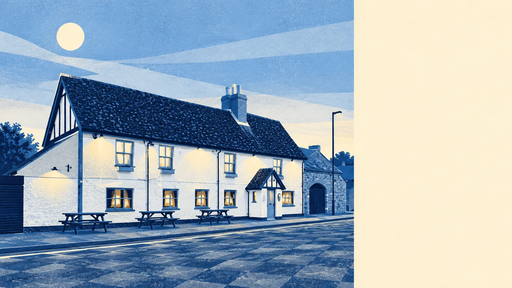
The area around Clapham, Bedfordshire is mostly grass and river, with Bedford's edge on one side and a string of villages along the Ouse on the other. The nearest green space is usually round the corner. There are about a dozen within a kilometre. Water is a few hundred metres away. Bedford handles the errands, and the Ouse is where people spend their weekends.
The average home in Clapham is roughly 120 metres from the nearest green space, and about 12 green spaces are within a kilometre. Most people can be on a footpath before they have finished putting their shoes on.
Water is close too. The nearest blue space is about 300 metres from the average home, and about 14 are within a kilometre. The Great Ouse runs past Oakley and Milton Ernest, both covered by this page, and much of the land around the village is shaped by it.
The National Cycle Network is about 3 kilometres from the average home, and no postcode in Clapham is close to it. Cyclists here ride the lanes, so the nearest signed route takes a short ride to reach.
Across the wider MK41 postcode district, which takes in more than the village, the records list 83 shops, 16 pubs and nine restaurants. Most of the shopping for Clapham comes from the district around it more than from the village itself.
Fine-particle air pollution across Bedford borough averaged about 7.1 micrograms per cubic metre in 2024.
The surroundings have more history than the village's housing suggests. Milton Ernest Hall served as the support command headquarters for the United States Eighth Air Force in the Second World War. Today the area's bigger landmarks are older and smaller: Stevington Windmill, the old bridges at Oakley and Bromham, and the hillfort on Mowsbury Hill. Ravensden, Putnoe and Brickhill sit on the Bedford side, along with Bedford Park. Most of what the area has to offer is in the villages and fields around Clapham, while the village is mostly where people live.
Private gardens are generous. Across the three neighbourhood areas that make up Clapham, gardens add up to about 133,000 square metres for every 1,000 residents. That fits the semis, bungalows and family houses that make up most of the village.
The valuation list has 57 rateable premises in the area. The largest group is 14 shops, followed by nine warehouse or store premises. These are premises on the council's rating list, so some may be empty, and the list cannot tell you which businesses are trading today. The shape is clear enough, though: a handful of shop units and some storage, with very little of the village given over to business.
The Food Standards Agency has rated 16 food premises in the area. About 81% hold the top hygiene score and about 6% sit at the low end. Wherever you buy a sandwich here, it was almost certainly made in a clean kitchen.
No protected landscape overlaps Clapham. There is no area of outstanding natural beauty, no site of special scientific interest and no ancient woodland. The countryside here is ordinary farmland and riverside, so walkers and dogs can use it without anyone worrying about a protected habitat.
The surroundings are one of Clapham's real strengths. Green space is a few minutes from the front door, the river is close by, and the villages round about give people plenty to do at weekends.