Chivenor and Wrafton is a drainage project with houses on it, and it works better than that sounds. Nearly half the postcodes sit inside a marsh drainage board's patch. The nearest front doors are about seventy metres from the coast. Barnstaple is a quarter of an hour away by car. Crime runs at around half the district rate. Flat, quiet, well placed for the road, and permanently in negotiation with water.
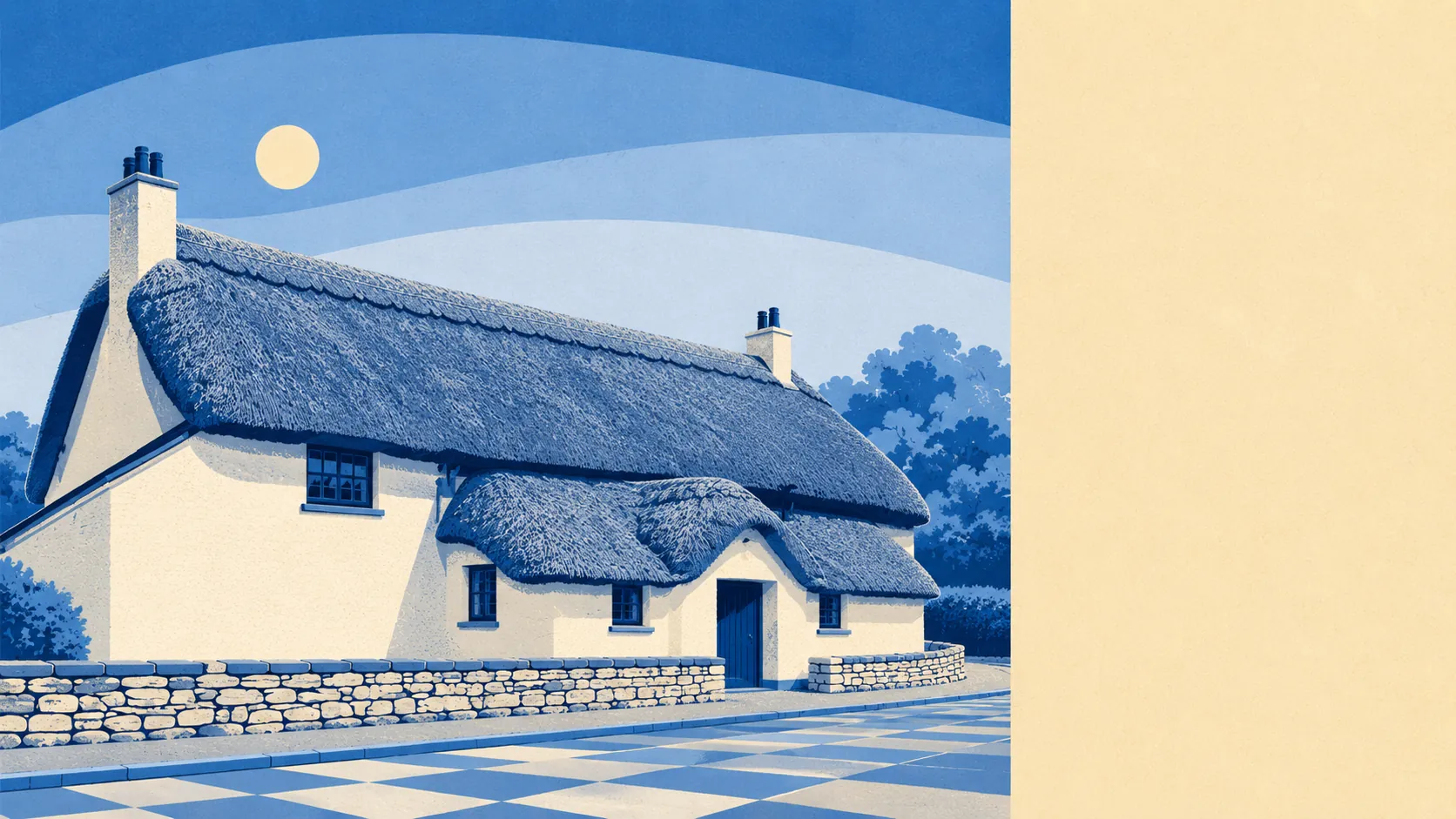
Anyone arriving with a thatched Devon cottage in mind should keep driving. Terraces make up about 37% of dwellings on the council tax valuation list, detached and semi-detached houses about 23% each, bungalows about 9% and flats about 7%. Only about 8% of the stock was built before 1930, and the dominant build period runs from 1950 to 1982, which means brick, plots with room to swing an extension, and windows nobody has ever described as original features. Energy performance follows the build era rather than the postcard: about 69% of certificated homes sit in bands A to C, 28% in band D and 3% in band E or worse. Around 79% run on mains gas, about 5% on electricity alone, and roughly 1% have no central heating at all. That electric-only 5% is the question to ask before the viewing rather than after the first winter bill.
The Land Registry recorded 23 sales in the year to March 2026 at a median of £300,000. Terraces went at about £267,000, semi-detached houses at about £318,000, detached at £435,000. Council tax describes the same houses in a much cheaper voice: band B is the most common, about 52% of dwellings sit in bands A or B, and a band D bill runs about £2,640 a year. Two systems, same brickwork, and only one of them arrives by direct debit.
Renting is priced at district level rather than village level. Typical private rent across the North Devon area is about £850 a month, with two-beds around £780 and three-beds around £970. Those are area figures, not a quote for a specific street here, which matters when a listing tries to present an average as a promise.
The published police.uk figures put recorded crime at about 38 offences per 1,000 residents over the twelve months to May 2026, roughly 48% below the North Devon average. That is a genuinely strong number and the safest thing on this page. It comes with an honest caveat: the totals are small enough that a handful of incidents moves the shape of them, so treat one bad quarter as noise rather than as a trend.
Roads do the work. About 48% of working residents drive to work and about 28% work from home, while roughly 11% walk and 8% cycle. Bus use sits at about 2%, and the share commuting by train rounds to zero, which is what happens when Barnstaple Rail Station is the nearest one and nothing runs closer. The buses themselves are better than that commuter share suggests: eleven stops, about 63 scheduled weekday departures each, three or four buses in the peak hour, and every stop keeps a weekend service. Department for Transport modelling puts Barnstaple town centre at 15 minutes by car, 22 by public transport and 29 by bike. The walk is 78 minutes, which is a hobby rather than a commute. Broadband reaches superfast speeds at about 93% of premises, gigabit at 28%, with no premises below the universal service obligation minimum, and all mobile operators covering about 96%.
Water is the running theme. On the postcode indicators, which include surface water as well as rivers and sea, about 32% of postcodes carry a high rating on at least one measure, 27% medium and 51% low. The Environment Agency's river-and-sea zones are narrower: about 9% of postcodes fall inside flood zone 3, none in zone 2, and about 51% sit inside the climate-change zone. Roughly 47% of postcodes lie within the Braunton Marsh Drainage Board area and 30% are within 500 metres of the coast. The shoreline management policy holds the line over the next twenty years and switches to managed realignment on the fifty-year horizon, which is the planning system's polite way of saying some of it goes back. Against all that, the surroundings are the best thing here: green space averages about 120 metres from the door with roughly 9 spaces within a kilometre, and water about 200 metres away with about 39 within a kilometre. The estuary that sells the place is the same estuary the mapping keeps drawing lines through.
Heritage constraint is light. Nineteen listed buildings sit in and around the area, one Grade I and eighteen Grade II, alongside a single conservation area at Heanton Punchardon and no scheduled monuments. If your house is listed or sits inside that conservation area, window replacements and external alterations go through consent and the answer is not automatic. For most of the housing here, the planning conversation is about drainage and flood resilience rather than about whether your porch is sympathetic to the vernacular.
About 45% of households own outright or with a mortgage, and roughly half rent, split about 34% privately and 19% socially. Median age is 32, which is not the North Devon most people picture. Of about 2,600 residents, 353 live in communal establishments rather than in households, so the population and the household count are telling two different stories. Household income runs about £51,800 gross for the financial year to March 2023, modelled across the wider area rather than measured street by street.
It suits buyers who want a house with a plot, a fifteen-minute drive to a real town, low recorded crime and water at the end of the road, and who will read a flood report properly instead of skimming the summary. It suits people who already know they are drivers.
It does not suit train commuters, period-property hunters, or anyone who needs a gigabit line guaranteed at their own address. It suits nobody who will spend every autumn refreshing the river gauge.
The real strength here is the setting: green space and open water in every direction, and a quietness the crime figures actually support. The weak spot is flood risk, and it is not a footnote in a place drained on purpose and kept dry by a drainage board. Buy it for the ground it stands on, then spend an afternoon finding out exactly what that ground does in February.