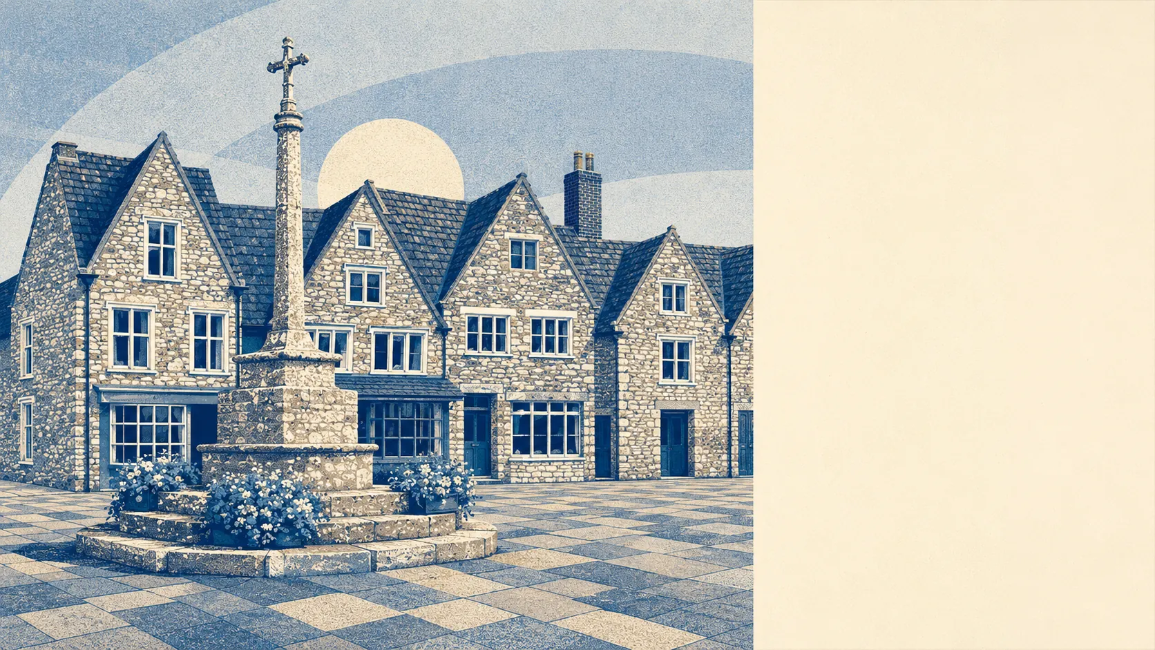
Chipping Sodbury is Yate with a conservation area. The median age is 48. Nearly four in five households own the roof over their heads. Crime runs well over a third below the wider South Gloucestershire average. Not a suburb of the Bristol sprawl thirteen miles down the road. A twelfth-century market town, founded by William le Gros, that would like you to know the difference.
Three quarters of the homes are houses, and the post-war decades did most of the building, so the medieval street plan sits inside a town that mostly went up between 1950 and 1982. Flats are about one in six of the stock, which is low for anywhere within commuting reach of a city. On energy, a little over half the homes reach band C or better, about a third sit at band D, and roughly one in eight land at band E or worse. That bottom group is where listed status stops being a selling point and starts being a heating bill.
The typical sale over the past year came in around £350,000, across a shade over a hundred transactions. Detached houses run to about £480,000 and semis to about £320,000. Then, in the quirk that gives the place away, the terraces cost more than the semis at roughly £370,000. That is because the terraces people actually want are the Georgian ones on the High Street and Broad Street, the ones with the listing and the sash windows, not the estate on the edge. Council tax leans low for the region, with band B the most common and about a third of homes sitting in the bottom two bands.
Renting is the minority sport here, and the honest number is the wider one: typical private rent across the South Gloucestershire area runs at about £1,450 a month. Chipping Sodbury sits at the pricier end of that spread rather than the cheap end, because the thing that makes the town nice to look at is the same thing that makes it expensive to live in.
The published crime rate is about 51 offences per thousand residents a year, which lands more than a third below the South Gloucestershire average. For a town this size that is a low figure, and it is low in the boring way that actually matters, spread thin rather than hiding one bad street behind a good average. The town is safe in the specific sense that the biggest weekly flashpoint is finding somewhere to park near the High Street.
This is a car town that has quietly become a laptop town. About half the working population drives to work, more than a third now work from home, and the share catching a train to work rounds down to nothing. Part of that is history. The town had its own station from 1903 until it closed in 1961, and the nearest working platform is now Yate Rail Station, one stop into the network next door. The Chipping Sodbury Tunnel that carries the main South Wales line under the Cotswolds has been flooding in wet weather since it opened in 1902, which tells you plenty about the local relationship with water. Broadband makes up for the trains, with nearly nine in ten postcodes able to get gigabit-capable connections.
Water is the one caveat worth taking seriously. About one in eight postcodes carry a high surface-water flood risk, with roughly one in six more in the medium band, though the share in an Environment Agency river-flood zone is small at under three in a hundred. Set against that, green space is the town's strongest hand. It averages around 150 metres from the front door, with more than twenty separate green spaces within a kilometre of the typical home, and the Cotswold edge starts more or less where the houses stop.
The old core comes with strings. There are around 130 listed buildings in and around the town, one of them grade one and fifteen at grade two star, wrapped inside a single conservation area covering the medieval streets. Buy one of the pretty ones and the windows, the render and the front door stop being entirely your decision. That is the deal heritage always offers: someone else gets a say in your house, in exchange for the street staying worth living on.
The profile is settled and comfortable. Nearly four in five households own, the median resident is 48, and the typical household income sits around £58,000. This page also covers Westerleigh to the north, a smaller village that shares the general disposition and a chunk of the postcode. The character across the whole patch is people who have arrived at the life they wanted and have no intention of moving again, which is a large part of why so little ever comes up for sale.
It suits a particular buyer. If you want a house rather than a flat, a market town you can walk across in ten minutes, and a garden backing onto countryside, and you can either work from home or make peace with the drive, Chipping Sodbury hands you exactly that with very little fuss.
It suits you less if you are young, renting, and after a train into a city every morning, or if you need the price to be doing something exciting. The town's station closed sixty years ago, the rental stock is thin, and prices sit where a safe, low-crime, good-looking town keeps them, which is comfortably above the towns next door that photograph worse.
The town's real claim to fame is medical. Edward Jenner, who went on to pioneer vaccination, began his training in Sodbury as an apprentice to the apothecary George Hardwicke at Melbourne House on Horse Street. The observation that made his name, that people who caught cowpox seemed to dodge smallpox, came later and elsewhere. Sodbury just taught him where the medicine cabinet was.
So, is it a good place to live? Above average, and honest about why. It scores at the very top for its surroundings and green space and for how little crime it records, and it comes up short on schools, which sit around the middle of the pack rather than the top. Buy here for the setting, the safety and the ten-minute walk across a proper market town. Do not buy here expecting the schools to be the reason, or the trains to be yours.