Chard is a good place to live if you have stopped needing a town to flatter you. Six in ten own their homes. Most people drive to work. The typical resident is the far side of forty. It is one of the highest towns in Somerset and the southernmost, so the weather arrives early and the trends arrive whenever. This is not a place on the way up or the way down, and it settled that argument a long time ago.
The housing stock is ordinary in the way that saves people money. Terraces make up about 30% of every dwelling on the council-tax valuation list, semis and detached houses about 19% each, flats about 18% and bungalows about 14%, out of roughly 6,900 homes. Only about 12% were built before 1930, and the biggest slab went up between the war and the early eighties, which is why the town looks less like a heritage brochure than the brown signs imply. Energy certificates put about 61% of certificated homes in bands A to C, 29% in band D and 10% in band E or worse. About 74% run on mains gas. The 13% heated by electricity alone are the ones to ask about before the second viewing, because that bill introduces itself in January rather than at the offer stage.
The Land Registry's last twelve months, to the end of May 2026, put the typical Chard sale at £235,000 across 147 transactions. A terrace came in around £182,000, a semi around £239,000 and a detached house around £340,000, while the eleven flats that sold had a median of £100,000. Council tax follows the same shape: band B is the most common, and about 57% of homes sit in band A or B. Nothing here is being bought as an asset class, and the pricing is refreshingly candid about it.
Rent is published at council level rather than street level, so the number to work with is the typical private rent across the Somerset area, about £990 a month as of April 2026, up about 4% over the year. Across that same area a two-bed averages about £890 and a three-bed about £1,100. Those are area-wide means from the Office for National Statistics price index rather than a tally of what is advertised in Chard this week, so read them as the shape of the market, not a quote.
Safety is where the numbers stop being comfortable. Recorded crime ran at about 128 offences per 1,000 residents in the twelve months to May 2026, against about 93 for Somerset as a whole, putting Chard roughly 38% above its own council's average. That is a published rate for the area's neighbourhoods, not a sum done on the back of the population count. Violence and sexual offences account for about 44% of the recorded total against about 35% across England and Wales, although that category is a broad statutory grouping that sweeps in common assault without injury and leads the table almost everywhere. Avon and Somerset Constabulary charges in about 11% of cases against about 12% nationally, ranking 24th of 42 forces. A working market town with a Friday night is not a hamlet, and the figures decline to pretend otherwise.
Passenger trains stopped calling at Chard Central on 11 September 1962 and never came back, which shows in how people travel: about 57% drive to work, about 17% walk, about 16% work from home, and the share commuting by train rounds to nothing. Buses do more than the reputation allows, with 48 stops in the town, an average of about 22 scheduled weekday departures at each and weekend service at about 98% of them. Department for Transport modelling from 2019 puts the town centre 8 minutes away by car, about 15 by public transport and 16 on foot, with the nearest hospital about 42 minutes by car or about 68 by public transport, which is the arithmetic that keeps everyone in their cars. Broadband is the quiet win: gigabit service reaches about 88% of premises, superfast reaches all of them, and nothing sits below the universal service obligation. At least one mobile operator covers effectively every premise, and all operators together cover about 97%.
Flooding here is a rainfall problem rather than a river one. About 12% of postcodes carry a high rating on at least one flood indicator including surface water, 14% medium and 33% low, while the Environment Agency's river-and-sea flood zones cover about half a percent of the place in zone 3, nothing in zone 2, and there is no recorded historic flooding. Green space is the compensation and it is properly good: the average home sits about 150 metres from a green space, with about 21 of them within a kilometre and water about 530 metres away, and Chard Reservoir a mile northeast handles the herons, kingfishers and dog-walking. The one to raise with a surveyor is radon. The British Geological Survey's mapping puts every postcode in the area in the raised bands, topping out at its High classification. It does not appear in listing photographs, which is precisely why nobody asks.
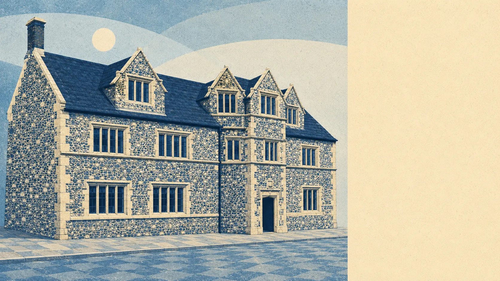
There are 161 listed buildings in and around the town, two of them grade one and eight grade two star, plus one conservation area over the centre and two entries on the Heritage at Risk register. Most of the good stone is post-fire, the town having burned down in 1577 and rebuilt itself, and the Guildhall arrived as a Corn Exchange in 1834 before becoming the Town Hall. Buy inside the conservation area or anything on the list and windows, doors, render and solar panels turn into a conversation with the council rather than a weekend. Buy one of the post-war semis and none of it touches you.
About 61% own their homes, the typical resident is 44, and modelled gross household income for the area came to about £41,000 in the financial year to March 2023, of which roughly £33,000 survives tax. About a third of households are one person living alone. That is a town of settled owners rather than a churn of people passing through, which is either the appeal or the warning, depending on how you feel about neighbours recognising your car.
The same postal district carries the villages this page also covers. Combe St Nicholas sits a couple of miles northwest on the edge of the Blackdown Hills Area of Outstanding Natural Beauty, Buckland St Mary sits inside those hills near the A303, and Thorncombe lies about five miles southeast over the Dorset line, having been an exclave of Devon until the Victorians tidied the county boundaries. All three lean on Chard for shops, the secondary school and anything resembling a weekly supermarket run.
It suits people who want the money to go on the house instead of the postcode: a couple after a semi with a garden, a family needing three bedrooms and somewhere to park, someone retiring who wants a bungalow, a level walk to the shops and green space at the end of the road. It suits people who already own a car and have made peace with using it.
It does not suit anyone who needs a station, anyone whose job requires being somewhere else by nine, or anyone buying above the town centre and expecting the town centre to go quiet at closing time.
For somewhere most people drive past, Chard has form. James Gillingham, born here in 1839, built articulated artificial limbs after making one for a man who lost an arm in a cannon accident in 1863, and the museum still displays the work. John Strong left for New England and helped found Windsor in Connecticut and Northampton in Massachusetts, which is a considerable career move from a Somerset market town. Thomas Cogan practised medicine, John Bond ended up Master of Trinity Hall in Cambridge. The town also proclaimed the Duke of Monmouth king in 1685, sent men to join him, and then watched twelve of his rebels executed on ground now occupied by the Tesco roundabout. Charles I had already spent a week here in 1644 while both sides helped themselves to the place.
Chard's real strength is the ground it stands on. Green space starts at the end of most streets, the reservoir and the hills are a walk rather than an expedition, and the housing is priced for people who would rather own the garden than the postcode. The weak spot is safety, and the distance from the county average is not a rounding error. Buy here for the stone, the space and the arithmetic. Do not buy here expecting a town with anything left to prove.