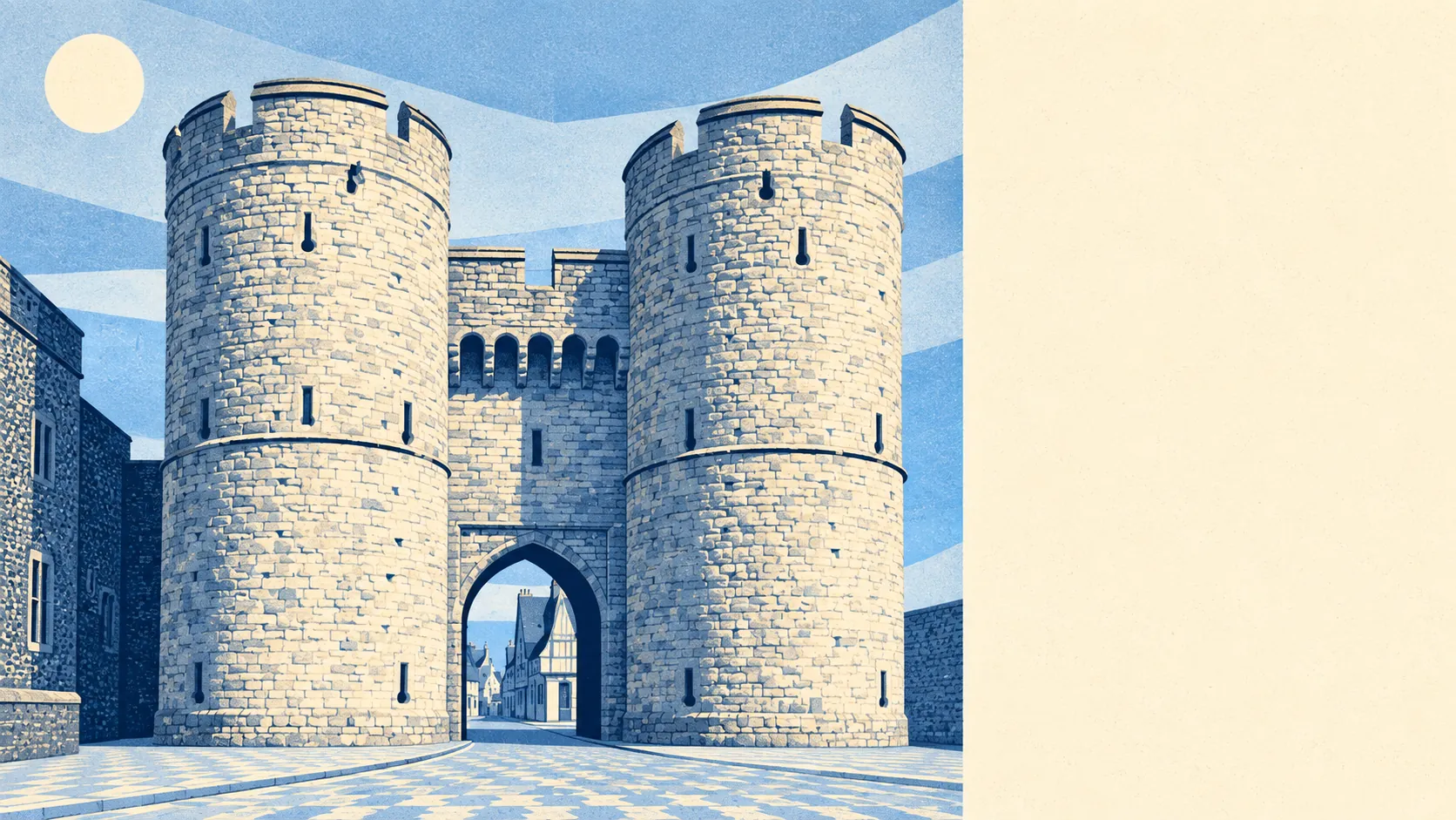
The area around Canterbury is the best reason to live in it. Most homes are a couple of minutes from a park. The river runs straight through the middle. The woods and orchards start where the suburbs give up. The city is the thing on the postcard, and the countryside is what residents pay for.
Public green space is close to every door. The average home is about 140 metres from one, with around 32 green spaces within a kilometre. That runs from Dane John Gardens, laid out beside the city wall, to the playing fields, cemeteries and river meadows that ring the centre. Nobody here has to plan a trip to see some grass.
Water is almost as close. The average home is about 380 metres from a river, stream, lake or pond, with around 44 bodies of water within a kilometre. The Stour does most of that work, crossing the city from south-west to north-east past the Westgate and carrying on to Fordwich, where it stops being navigable for anything bigger than a canoe.
Getting out of town under your own steam is easy. The national cycle network is about 340 metres from the average home, and about 78% of postcodes are close to it, with National Cycle Route 1 heading for Whitstable and Route 18 for Ashford. The Great Stour Way runs out through Chartham. To the north-west, Blean sits in the middle of the Forest of Blean, and the orchards around Harbledown begin at the city's edge.
The high street carries its weight. The rating list records 621 shops, 100 pubs and 102 restaurants in the area, along with 215 holiday lets. That is a proper city centre, with enough pubs that nobody has to settle for one they don't like, and enough holiday lets to explain the wheelie cases on the cobbles.
The air is reasonably clean. Fine-particle pollution across the Canterbury council area averaged about 7 micrograms per cubic metre in 2024, a figure for the whole district rather than any one street.
The character comes from the layering. Inside the walls, the cathedral precincts, Burgate and Palace Street keep the medieval street plan. Outside them, the Victorian and post-war suburbs of St Dunstan's, Wincheap and Thanington lead out to villages like Bridge, Littlebourne, Chartham and Chilham, each with its own church and its own conservation area. The mix means a resident can buy a pint in a timber-framed pub on Saturday and pick apples a couple of miles away on Sunday. The coast at Whitstable and Herne Bay is close enough to count as the weekend.
Homes have more private outdoor space than a city this old might suggest. Private gardens add up to about 95,000 square metres for every 1,000 residents, which reflects how much of Canterbury is suburbs with gardens rather than terraces with yards.
On the valuation list for business rates there are 1,973 rateable premises, with shops and offices the two largest categories by a distance. These are premises on the list, not a count of businesses currently trading, but they describe a working city rather than a museum with a gift shop.
Eating out is a safe bet. Of 518 food businesses with a hygiene rating, about 77% hold the top score and about 1% sit at the bottom. The cathedral's visitors are, on the whole, being fed properly.
Within the city's own boundary there are no protected landscape designations: no area of outstanding natural beauty, no site of special scientific interest and less than 1% ancient woodland. That is a feature of a built-up city, not a failing, and the protected countryside of the North Downs and the Blean woods sits just beyond it.
The surroundings are one of Canterbury's real strengths: green space and water on the doorstep, a real high street in the middle, and open countryside a short ride away in every direction. Few cities this size put the fields this close to the front door.