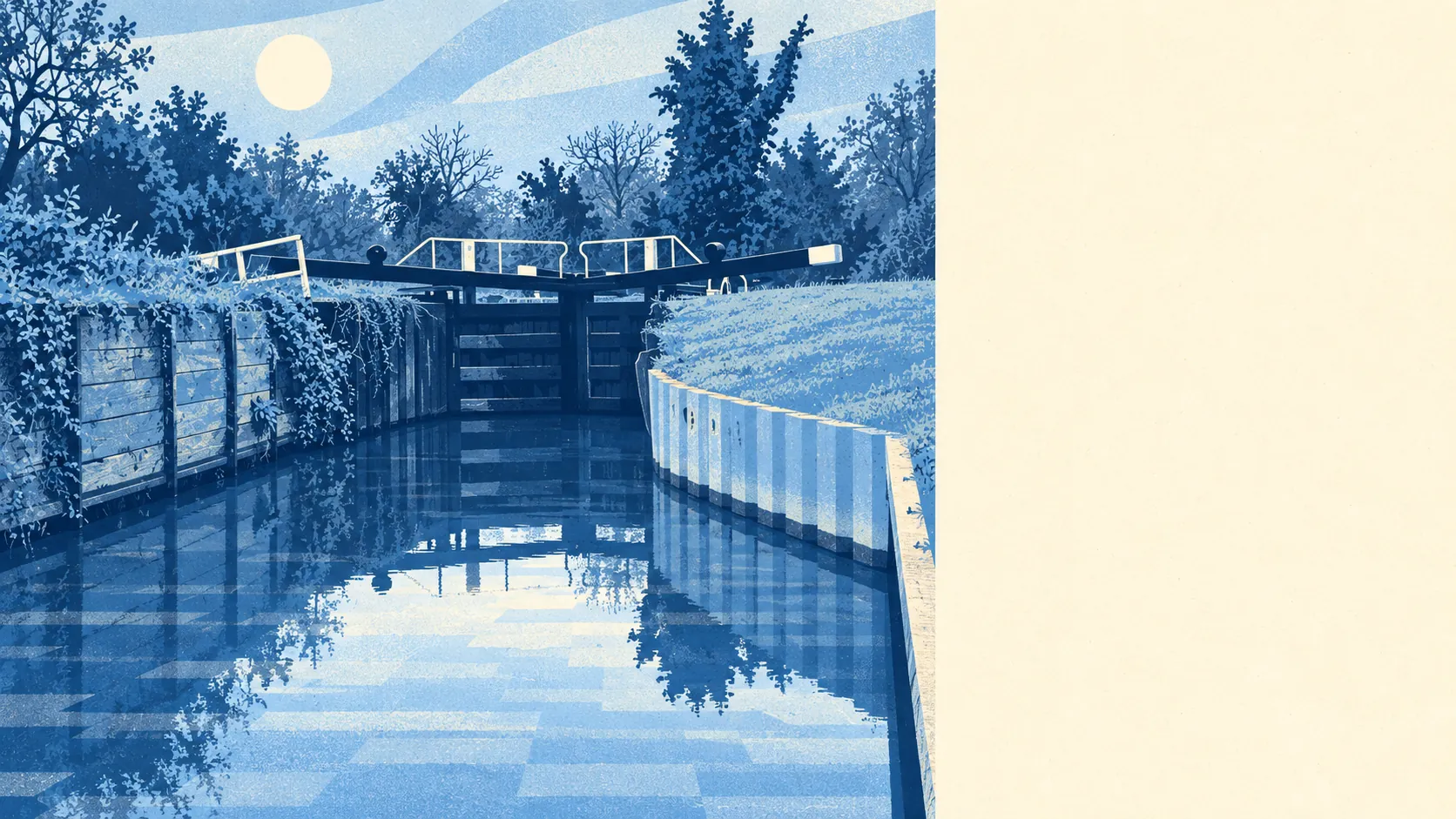
The area around Burghfield is wetter and greener than the housing estates let on. Public green space is a short walk from most doors. There's water closer still. The gardens are big enough to lose a football in. Step off the estate roads and the parish turns into lakes, locks and heath.
Green space sits about 280 metres from the average home, and there are about 5 green spaces within a kilometre. That's close enough for a dog walk before work without bargaining with anyone over whose turn it is.
Water is nearer again. The nearest stretch of blue space averages about 240 metres away, and there are about 15 bodies of water within a kilometre. Most of that is the Kennet valley in the north of the parish, where the man-made lakes, marshland, willow scrub and old water meadows sit alongside the river. For a village most people know from a road sign, there's a surprising amount of water to look at.
The National Cycle Network is further off, about 1.5 kilometres from the average home, and only about 11% of postcodes are close to it. None of the area is ancient woodland. Walkers are better served than cyclists: footpaths, bridleways and cut-throughs run across the fields and through the woods, well away from the traffic.
The wider area's rated-premises data counts 234 shops, 11 pubs and 10 restaurants. That's a catchment figure rather than a village high street, and it says more about how close the edge of Reading is than about what's on Burghfield's own doorstep.
Air quality is measured across the council area. West Berkshire's fine-particle level was about 6 micrograms per cubic metre in 2024, as a council-wide figure.
The character comes from the landscape. The Kennet and Avon Canal runs through the north of the parish past Burghfield Lock, Garston Lock and Sheffield Lock, the last of them a scheduled monument, and the canal is used for boating, canoeing, fishing and walking. To the south, small patches of heathland survive on the common land beyond the village, Clayhill Brook cuts through the partly wooded valleys around Burghfield Hill, and cattle, sheep and horses graze the grassland in between. Folly Farm, a registered park and garden, sits in the surrounding area. The estates are the newest and least interesting layer of a parish that's mostly fields, water and paths.
Private gardens are generous. Measured by the space people actually have, there are about 232,000 square metres of private garden per 1,000 residents across the area's neighbourhoods. The share-of-land figure looks small only because farmland dilutes it. Behind the front doors, the gardens are big.
The valuation list tells the same story from the business side. There are only 17 rateable premises on it, spread across a handful of categories, with no category holding more than 4. Those are premises on a list, not necessarily businesses trading today. Either way, Burghfield is a place people live in and drive out of, not somewhere with a commercial centre of its own.
What food outlets there are score well. Of 25 rated food premises, about 96% hold the top hygiene rating, and none rates low. It's a short list, but a clean one.
There's no protected-landscape designation over the area: no area of outstanding natural beauty, no site of special scientific interest, no ancient woodland. This is working countryside, grazed, dug and walked, rather than a landscape under a preservation order. That's why the footpaths belong to the dog walkers and not the coach parties.
The surroundings are one of Burghfield's real strengths. Water, heath and green space are all within an easy walk, and the gardens mean you often don't need to leave home to be outside.