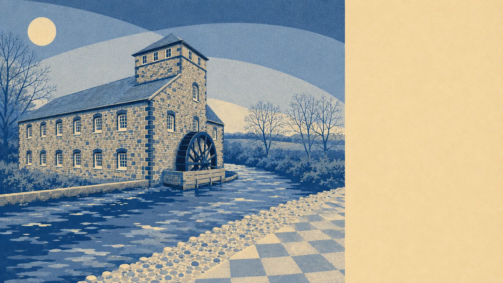
The country around Bovey Tracey is the entire argument for living in it. Green space starts about 190 metres from the average front door. Water is barely further than that. Around 13 open spaces and about 30 stretches of water sit within a kilometre. The town works as a service depot for the country it sits in, and it is unusually good at the job.
Take the green space first, because the numbers are close to absurd. The average postcode here has about 13 areas of open green space within a kilometre, with the nearest about 190 metres away. That is the distance a lot of people would drive in a city rather than walk. It also means the phrase "going out for some air" involves no planning whatsoever.
Water is similarly close. The nearest blue space averages about 220 metres from the front door, and about 30 separate stretches of it sit within a kilometre. The town takes its name from the River Bovey, which is the sort of naming convention that stops being quaint the moment you check the flood maps, but on an ordinary Tuesday it means a river walk starts where the pavement ends.
For anyone wanting to cover more ground, the National Cycle Network runs an average of about 380 metres from local postcodes, and about 74% of postcodes sit close to it. That is unusual provision for a small town, and it makes the bike a genuine option for leisure rather than a garage ornament with a flat tyre.
The high street is smaller than the surroundings suggest. Across the wider postcode district, the rating list records 215 shop premises, 37 pubs and 5 restaurants. Those are rateable premises on a valuation list rather than a roll call of businesses currently open, so treat them as the shape of the place rather than a directory.
On air, the council area averaged about 5 micrograms per cubic metre of fine particles in 2024. That is a council-area figure covering far more ground than this town.
The character comes from what surrounds it. Stover Park sits nearby, Bovey Heath carries the older history, and a ring of small villages, Chudleigh Knighton, Liverton, Hennock and Teigngrace among them, fills the gaps between here and the moor. Heathfield, covered by this page too, sits just up the road. The whole arrangement is small settlements strung between open ground, with Bovey Tracey acting as the one with the shops.
Private outdoor space is not in short supply either, which is the part the public-green-space numbers never tell you. Local gardens run to roughly 309,000 square metres for every 1,000 residents. Nobody is queueing for an allotment to grow three tomatoes.
The valuation list carries 204 rateable premises for the town itself. Across the wider district, the same list records 146 office premises and 167 holiday lets. Holiday lets outnumbering restaurants by that margin is the clearest single statement of what this area is for: people come here to be near the moor, and a proportion of the housing stock has quietly rearranged itself around that fact.
Eating out is a small field but a clean one. Of 39 rated food premises, about 82% hold the top food hygiene score and none sit at the bottom of the scale.
One honest absence is worth naming. No area of outstanding natural beauty overlaps this area, no site of special scientific interest, and no ancient woodland is recorded here. The greenery is working countryside and ordinary public open space rather than designated scenery, which means fewer designation-driven restrictions and no expectation that anyone is preserving the view on your behalf.
Surroundings are the strongest thing this town has, comfortably. Green space and water within a few minutes of nearly every front door, a cycle network on the doorstep, and open country doing the work that a designation would only put a sign in front of.