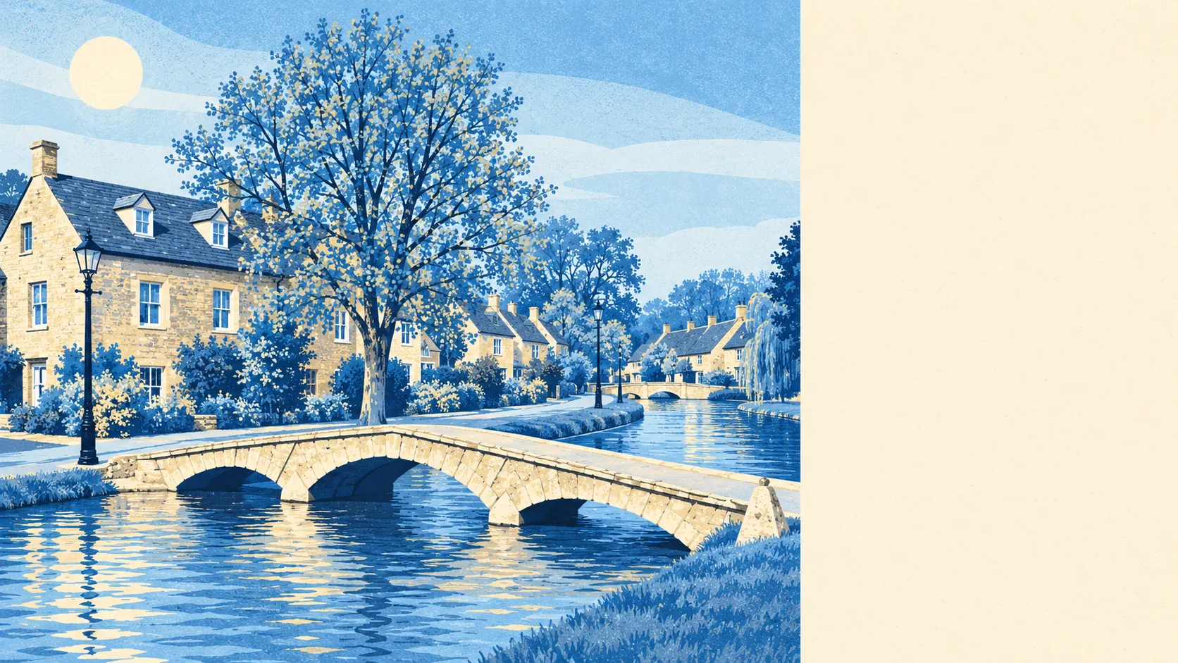
Bourton-on-the-Water is a pleasant, comfortable village built on exactly the ground the river also wants, and that keeps it firmly middle of the road as a place to live. Close to a third of its postcodes carry a high flood flag of some kind. The Windrush runs straight through the middle of it. The river in every photograph is the same river that draws the flood maps, and anyone buying here is buying both.
On the Environment Agency's postcode indicators, which count surface water as well as rivers, about 30% of Bourton's postcodes are flagged high risk on at least one measure, another 27% medium, and half low. The river-and-sea flood zones draw a tighter line: 14% of the area is in Flood Zone 3 and 11% in Zone 2, and the climate-adjusted version of those zones stretches to about a quarter. There are 17 recorded flood events, the most recent in July 2007, when local drainage and surface water were blamed. Postcards show the Windrush lapping politely at the low stone bridges, and the flood record describes the same scene with less affection.
Owning a car is close to compulsory. The passenger railway ran from 1862 until 1962, and among people in work today the share commuting by train rounds to zero, while 47% drive and 30% work from home. There are 29 bus stops, and the 22 with timetable data average about 30 weekday departures each, all of them with a weekend service. The Department for Transport's 2019 modelling puts the nearest town centre 15 minutes away by car or 35 by public transport, and a hospital 30 minutes by car or an hour by bus, and those bus times only get less reliable as services are cut. Broadband does better than the buses, with gigabit lines reaching about 72% of premises, superfast about 96%, and a fourth- or fifth-generation mobile signal from every operator across 96% of the area. Sixty-odd years after the last train, the morning commute starts and ends on the A-roads.
The Land Registry recorded 42 sales in the year to May 2026 at a typical price of about £440,000. That middle figure covers a wide spread: detached houses went for about £585,000 across 19 sales, semis for about £369,000, terraces for about £333,000, and the three flats that changed hands for about £165,000. Council tax is mostly Band C, with about 18% of homes in Bands A and B. Three flat sales in a year makes the cheap way in sound more like local folklore than a market.
Across Cotswold District, the typical private rent was about £1,260 a month in April 2026, up 8% on a year earlier. That figure averages a whole district of very different villages. In one that has lived off visitors since the 1920s, long lets and holiday lets are competing for the same cottages, and the district figure tells you nothing about which side is winning.
The council-tax list shows a mixed stock: about 29% detached, 28% terraced, 21% semis, and flats and bungalows at about 11% each. Only 16% was built before 1930, which surprises people who arrive expecting the whole place to be honey-coloured stone. The population grew sharply between 1931 and 1951, and much of what went up then and since is the ordinary end of the village. About 76% of homes heat with mains gas and 8% on electricity alone, and of the homes with energy certificates, 57% are rated C or better while 11% are E or worse. The postcard gets shot in the old core. Most residents live just out of frame.
About 62% of households own their home, the typical resident is 48, and the Office for National Statistics models gross household income at about £60,000 for the financial year to March 2023, averaged across a wider area than the village itself. That adds up to a comfortable, settled population whose village doubles as somebody else's day out.
Police figures put Bourton's crime rate at about 36 per 1,000 residents in the year to May 2026, roughly 10% below the Cotswold average. The Iron Age fort at Salmonsbury Camp is still the most heavily defended thing in the parish.
There are 114 listed buildings (seven Grade II* and 107 Grade II), the village centre is a conservation area, and the whole parish lies inside the Cotswolds Area of Outstanding Natural Beauty. Changing a window, a roof or a front wall in the old core means asking first and waiting for an answer. The ground has its own paperwork too: when the Cotswold School put up its maths block, the builders found a Roman cemetery and Iron Age roundhouses underneath it. Buyers who are planning a rear extension should expect the archaeology to have a say.
This is the part of Bourton that earns the price. On average there is green space about 180 metres from the front door, roughly 12 green spaces within a kilometre, and water about 240 metres away. Beyond the village the walks run out to Lower and Upper Slaughter, Great, Little and Wyck Rissington, Upper Rissington, Clapton, Cold Aston, Cutsdean and Temple Guiting, a run of countryside other people plan whole weekends around. Here it starts at the end of the road.
The actor Wilfrid Hyde-White was born here in 1903, and so was the Victoria Cross recipient Dudley Johnson in 1884. The Olympic cyclist Sharon Laws grew up here, and on a flat vale that at least gave her a gentle start.
Bourton is right for people who want open country on the doorstep, are happy to drive for nearly everything, and don't mind lending their riverbank to visitors every summer. People without a car, anyone who needs a hospital close by, and first-time buyers waiting for a flat to come up should look elsewhere.
On the lower streets, the river is both what a buyer pays for and what a buyer insures against, and those can turn out to be the same bill. Around it is a landscape that the Rissingtons and the Slaughters share as one long back garden. Put together, Bourton-on-the-Water is a perfectly decent place to live, with an asterisk the shape of the Windrush.