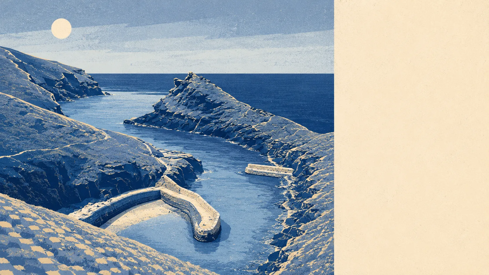
The area around Boscastle is coast, valley and farmland, and the coast wins every argument. Water sits closer to the average front door here than the nearest bus stop does to most villages. Green space is a couple of hundred metres away and there is plenty of it. Woodland is essentially absent. What surrounds this village is open, wet, steep and worked, and none of it is landscaped for your benefit.
Green space is close and there is a decent spread of it. The average postcode has around five green spaces within a kilometre, with the nearest roughly 270 metres away. In a settlement this small that means green space is not somewhere you drive to, it is the thing at the end of the row.
Water is closer still. The average distance to open water is about 170 metres, and there are roughly 57 pieces of blue space within a kilometre of the typical postcode, which is what happens when two rivers, a harbour and the Atlantic all arrive in the same square mile. Anyone buying here for the sound of water will get considerably more of it than they bargained for.
For cycling infrastructure the picture reverses. The nearest National Cycle Network route is about 6.8 kilometres away on average, and no postcode in the area counts as close to one. There is no ancient woodland here at all. Cycling in Boscastle is a thing you do on lanes and gradients, not on a route someone designed for the purpose.
The village end of things is small and specific. The valuation list carries 23 shops, three pubs and three restaurants, which is a functioning centre for a place this size rather than a high street in any recognisable sense. Fifteen food businesses hold a current hygiene rating, and every one of them sits at the top score.
Air quality is good in the way coastal Cornwall usually is. Fine particulate levels for the Cornwall council area averaged about 5 micrograms per cubic metre in 2024, which is a council-wide figure rather than a reading taken at the harbour.
Character comes from the surrounding parishes as much as from the village. Lesnewth, St Juliot, Trevalga, Bossiney and Trethevey are all within the same orbit, each with a church, a scattering of farms and not much else, and the South West Coast Path threads the lot together. The National Trust holds a great deal of the ground either side of the harbour, including the Forrabury Stitches, the medieval strip-farmed plots above the village that are still worked in something close to their original layout. Inland, the Valency Valley runs off toward St Juliot, and the scheduled monuments in the area include the motte and bailey castle the village is named after and the rock art at Rocky Valley. It is a landscape with a long memory and very few new buildings in it.
Private outdoor space is not in short supply either. Gardens here run to roughly 432,000 square metres per thousand residents, which is a rural figure and reads exactly as you would expect: most houses have their own outside, and some of them have a great deal of it.
The commercial picture is worth reading carefully. There are 122 rateable premises in the area, and 85 of those are holiday lets. Those are premises on the valuation list rather than businesses trading today, but the shape of the list is the shape of the economy: a village whose main product is other people's fortnight.
One honest absence. No area of outstanding natural beauty designation, no site of special scientific interest and no ancient woodland overlaps this area. The scenery here is protected by conservation-area rules and by the National Trust owning half of it, not by a national landscape designation.
The surroundings are the best thing about living here, and the gap between them and everything else is wide. Boscastle gives you coast, valley and open ground at the end of your street, on the understanding that the nearest cycle route and the nearest woodland are both somebody else's problem.