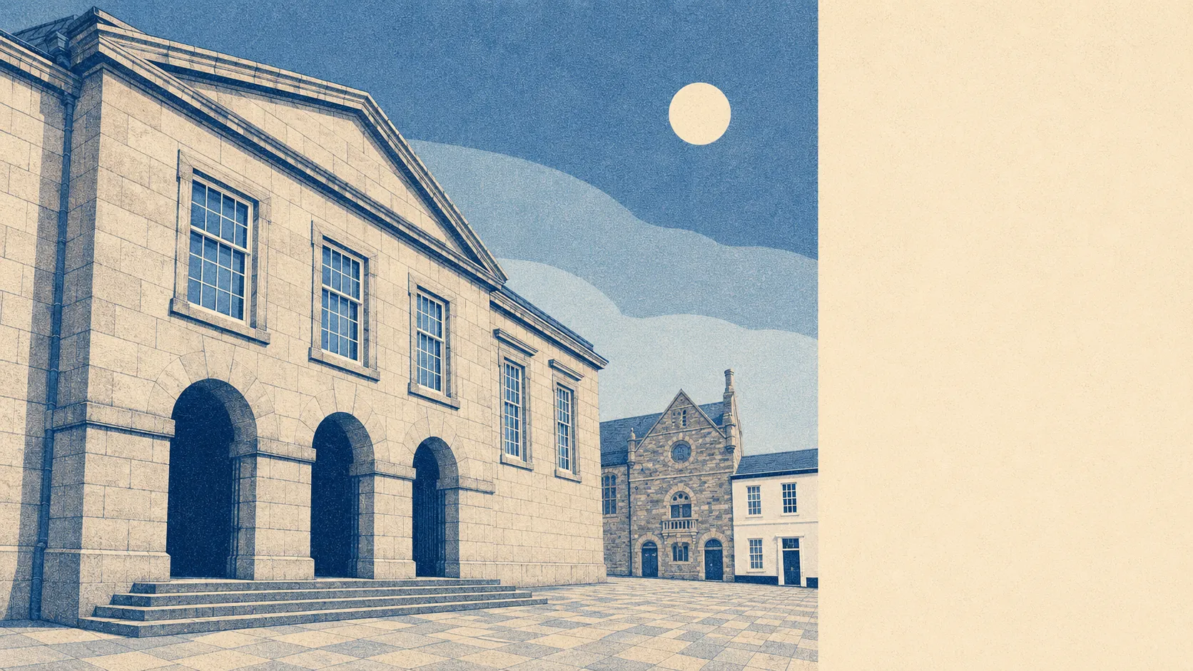
Bodmin is a town that stopped performing for visitors and got on with being lived in. The houses are ordinary and reachable. The moor and the woods start where the estates stop. The crime figures are the one thing that keeps the estate agent talking faster. It is not a postcard, and that is the whole offer.
The stock is family housing, not seaside conversions. On the council-tax valuation list, which covers every dwelling rather than only the recently certificated ones, terraces are the single biggest group at around 31%, semis another 21%, bungalows 15% and detached houses 14%. Flats account for about 18%, which in Cornish terms is a lot of flats and in national terms is nothing remarkable. Roughly 17% of the town's dwellings were built before 1930, so the Victorian granite fringe is real but it is not what most people live in. Most of Bodmin went up between the 1950s and early 1980s and looks it. Around 67% of homes run on mains gas, and roughly 15% are heated by electricity alone, which is a running-cost question you want answered before the second viewing rather than after the first winter bill. On energy certificates, about 58% of the certificated stock sits in bands A to C, 29% in band D and around 13% in band E or worse.
Sale prices are the reason people look here in the first place. Across the Land Registry's last twelve months, to late May 2026, the median sale in Bodmin was about £226,000 across 166 transactions, which in Cornwall is close to a rounding error below the coastal towns. The spread by type is wide and honest: detached houses at a median of about £315,000, semis around £228,000, terraces about £180,000, and flats at roughly £122,000. Council tax reflects the same picture from the other end. Band A is the most common band in the town, and roughly 64% of dwellings sit in bands A or B, which is a genuinely low bill compared with most of England, and one of the quiet reasons people stay once they arrive.
Renting is harder to pin to the town itself. The Office for National Statistics publishes rents at local-authority level, and the typical private rent across the Cornwall area is about £1,000 a month as of April 2026. That is a Cornwall figure, not a Bodmin one, and Cornwall's average is dragged upward by places with a sea view and a holiday-let alternative. Treat it as the ceiling of the conversation rather than the number on the tenancy.
Then the part nobody puts in the brochure. Police-recorded crime in Bodmin runs at roughly 123 offences per thousand people over the twelve months to May 2026, and that published rate sits around 66% above the Cornwall average of about 74 per thousand. It is the weakest thing about the town by a distance, and it is not explained away by the town centre being small. Violence and sexual offences, which is a broad statutory grouping covering everything up to and including common assault without injury, make up about 51% of recorded crime here against roughly 35% nationally. Anti-social behaviour is about 14% and criminal damage around 9%. Devon and Cornwall Police charge in about 8% of cases against a national rate of roughly 12%, and record no suspect identified in around 26%. A market town that functions as the service centre for a wide rural area collects the incidents of everyone who drives in, and Bodmin has been collecting them since it had a gaol.
Getting around is a car proposition and the town does not pretend otherwise. Around 62% of working residents drive to work, roughly 12% walk, and rail and bus between them account for under 1%. Bodmin Parkway Rail Station is the mainline connection and it is outside the town, with Lostwithiel Rail Station the other option; there are 141 bus stops in the area and the stops with published timetables average about 32 weekday departures, with roughly 78% carrying some weekend service. Journey times modelled by the Department for Transport put the town centre about 8 minutes away by car and around 12 by public transport, a general practitioner surgery about 8 minutes by car, and the nearest hospital about 45 minutes by car and closer to 100 by public transport. That last figure is the one to sit with. Broadband is better than the roads: gigabit-capable service reaches about 74% of premises, superfast about 95%, and no premises fall below the universal service obligation. Mobile coverage from at least one operator reaches roughly 100% of the area.
Flooding is a street-level question here rather than a town-level one. On the Environment Agency's river and sea flood zones, about 3% of the town sits in zone 3 and roughly 1% in zone 2. On the broader postcode indicators, which include surface water and are the reason the two figures look different, around 10% of postcodes carry a high rating on at least one measure and about 14% a medium one. Four flood events are on the recorded register, the most recent from a main river in 1976. What Bodmin has instead of a seafront is space: green space averages about 174 metres from a postcode, with roughly 18 green spaces within a kilometre, water about 540 metres away, and around 68% of postcodes close to a National Cycle Network route. Radon is in the highest band across the whole town, which means a test and, where needed, a sump, and is a Cornwall fact rather than a Bodmin one.
Heritage constraints are concentrated rather than pervasive. There are 121 listed buildings in and around the town, one of them Grade I and nine Grade II star, plus two conservation areas covering Bodmin and Berry Tower, and seven scheduled monuments. If you buy inside those boundaries, window replacements and extensions become a conversation with the council rather than a weekend. Outside them, and that is most of the town, you can do what you like to the back of a post-war semi without anyone from Historic England taking an interest.
The character follows from all that. About 56% of households own their homes, the median resident is 41, and the modelled median household income is roughly £43,200 gross before tax in the financial year to March 2023. Roughly 31% of households are single people. This page also covers the surrounding parishes, so Blisland, Nanstallon, St Mabyn, Temple and Withiel come with it, and they are the reason the green-space numbers look the way they do.
It suits people buying their first or second house who want a garden and a bill they can survive, who work locally or from home, and who consider a moor at the back of the town a feature. About 16% of residents work mainly from home, which for a town with this rail position is the difference between viable and not.
It does not suit anyone commuting by train as a daily habit, anyone who needs a hospital within twenty minutes, or anyone who wants to walk home from a night out and never once wonder about it.
The history is unusually loud for a town this quiet now. Saint Petroc founded the monastery here in the sixth century and gave the place its other name. Thomas Flamank, a Bodmin lawyer, co-led the Cornish rebellion of 1497 and marched to Blackheath, where it ended the way these things ended. Perkin Warbeck was proclaimed king in Bodmin later that same year, which lasted about as long as you would expect. The Prayer Book Rebellion assembled here in 1549. John Arnold, the watchmaker who did more for accurate timekeeping at sea than anyone else born in the town, came from the same streets. A place that produced three uprisings and a marine chronometer is now best known for being the turn-off.
Bodmin is a fair place to live and an honest one, which is not the same as an easy sell. Its real strength is what surrounds it: green space at the end of nearly every street, the moor, and the kind of quiet that costs three times as much twenty miles west. The weak spot is safety, and the recorded crime figures are high enough that where you buy within the town matters more than what you buy. Get that decision right and the rest of it is one of the better-value propositions in Cornwall.