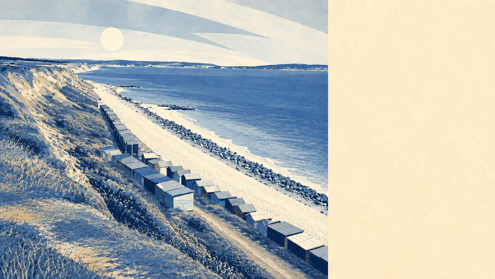
Green in every direction, and wet in one of them. Eight separate green spaces sit within a kilometre of the average home. Water is close enough to reach without planning the trip. None of it carries a national landscape designation of any kind. This is unremarkable English coastal countryside doing a very convincing impression of somewhere protected.
The green space access is genuinely good rather than technically good. The average postcode sits about 316 metres from a green space, with eight of them inside a kilometre. That is a walk in slippers rather than an expedition, and it is the single clearest thing the mapping says about living here.
Water is closer still. The average postcode is roughly 390 metres from blue space, with 19 separate bodies of water within a kilometre. Some of that is obviously the Channel at the bottom of the cliff, and the rest is the ponds, streams and chines that thread through this stretch of coast. Chewton Bunny to the west and Becton Bunny to the east are the local versions, both cut down to the sea, both a great deal older than anything built near them.
Cyclists should know that the National Cycle Network keeps its distance. The nearest route sits about 5.1 kilometres away, and no postcode in the area counts as close to it. The cliff-top path between Barton on Sea and Milford on Sea does the job for walkers, and the Solent Way runs east from there, but a family looking for traffic-free cycling on the doorstep will not find it.
The commercial mix is small and predictable. Mapped premises records for the area count 270 shop units, 62 office premises, ten restaurants and six pubs, alongside 28 holiday lets. Six pubs across the whole area tells you the evening economy is not the point of the place. Twenty-eight holiday lets tells you what is. Naish Farm, once a farm estate, is now a holiday park, which is the shape of the local economy in a single change of use.
Air quality for the wider council area came in at about 5.7 micrograms of fine particulate matter per cubic metre in 2024, which is a district-wide figure rather than a street-level one.
The character comes from being at the end of things. New Milton is the town up the hill that does the actual business of the area, with Old Milton between the two. Highcliffe sits west along the coast, Hordle and Walkford inland, and everything is close without anything being immediate. The heritage that exists is scattered and somebody else's: Highcliffe Castle, Hinton Admiral House, Peterson's Tower, none of them here, all of them within a drive. What Barton on Sea has instead is the golf club, the cliff, and a fossil-bearing bed of clay that geologists named a whole stage of the Eocene after.
Private outdoor space is where the area quietly outperforms. Across the four neighbourhoods measured, there is roughly 186,000 square metres of private garden for every 1,000 residents. In practical terms, gardens here are large, and a family that has spent years looking at London or Bournemouth plot sizes will find that the most immediately noticeable thing about a viewing.
For eating out, 25 premises hold a food hygiene rating and about 84% of them sit at the top score. None fall into the bottom bands. On a per-premises basis that is a clean set of results, from a small set.
One honest absence is worth stating. No part of this area falls inside a national landscape, a site of special scientific interest, or ancient woodland. The countryside here is working countryside and coastline rather than designated landscape, which means fewer constraints and no formal protection against what gets built next.
The surroundings are the best argument for living here. Green space, water, gardens and a coast path, none of it protected by anything more than the fact that most of it is already built on.