The area around Weybridge is mostly water and gardens, with a town fitted in between. Two rivers meet at the top of the High Street. A park is a short walk from most front doors. Private gardens are large. The countryside here mostly comes as towpath.
Green space is close and plentiful. Across the Weybridge area, the nearest public green space is about 200 metres from the average home, and there are about 20 green spaces within a kilometre. Oatlands and Painshill Park, both on the register of historic parks and gardens, are nearby, so the choice runs from a recreation ground to an eighteenth-century landscape.
Water is even more of a fixture. The nearest river, lake or canal is about 400 metres away on average, with about 31 bodies of water within a kilometre. The Thames runs along the north of the town, the Wey Navigation, looked after by the National Trust, comes up from Godalming, and the Thames Path follows the south bank. Wey Meadows and Pharaoh's Island sit within that stretch. For a town that took its name from a river crossing, it has never had to go far for a view of one.
National Cycle Route 4, which runs from London to Fishguard, passes through Weybridge. The nearest point on the National Cycle Network is about a kilometre from the average home, and about 30% of postcodes are close to it. At the 2021 census about 1% of working residents cycled to work, so a route that reaches west Wales is mostly carrying people out for the afternoon.
The high street and its surroundings hold 215 shops, 22 restaurants and ten pubs on the rating list, alongside 371 offices. That is a town built for meetings more than for the evening after them.
Elmbridge as a whole recorded fine-particle pollution of about 7.7 micrograms per cubic metre in 2024, a borough-wide figure that covers Weybridge along with everywhere else in the council area.
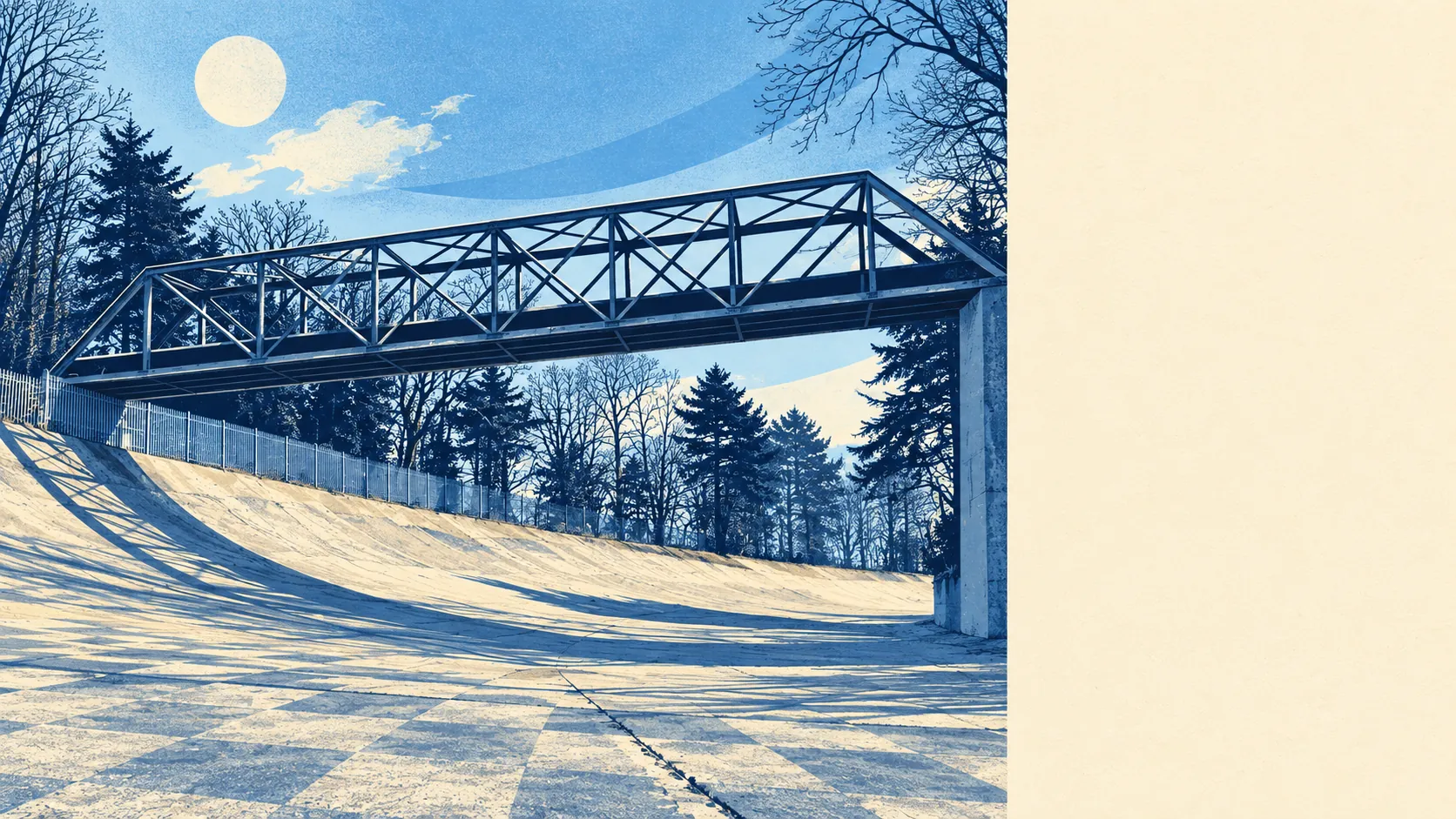
The character comes from the mix of grand and practical. Brooklands, to the south, holds the old motor-racing circuit and a museum clubhouse; St George's Hill rises behind it; Oatlands spreads east towards Walton-on-Thames; and the river islands and locks fill the north. Weybridge Monument Green and the old centre carry the older town. It reads as a riverside town that a racetrack and a private hill were added to, and nobody has been able to decide which part sets the tone.
Private outdoor space is generous. Across the area there is about 202,000 square metres of private garden for every 1,000 residents, a measure of what households actually have behind their own fences, and on that measure the town is well supplied. Most people who live here have somewhere of their own to sit outside before they get anywhere near the river.
The valuation list for the area holds 939 rateable premises. Offices are the largest group, with shops next, followed by car parks and smaller numbers of workshops, warehouses and pubs. These are premises on the council's rating list, which counts buildings and units whether or not a business is trading in them right now, so they describe the shape of the town more than the shops open this week.
For eating out, 138 food premises in the area carry a hygiene rating. About 73% hold the top score of five, and about 10% sit at the lower end of the scale. Those ratings are published by premises, so the specific café you have in mind can be looked up in seconds.
There is no area of outstanding natural beauty, no site of special scientific interest and no ancient woodland across the area. Weybridge is a town of parks, rivers and private gardens, so its green space is the kind people use daily, with the protected wild landscapes found further out in Surrey.
The surroundings are one of Weybridge's real strengths: water at the end of most roads, parks a short walk away and gardens to go with them. Anyone who wants to be outdoors without getting in a car has picked the right town.