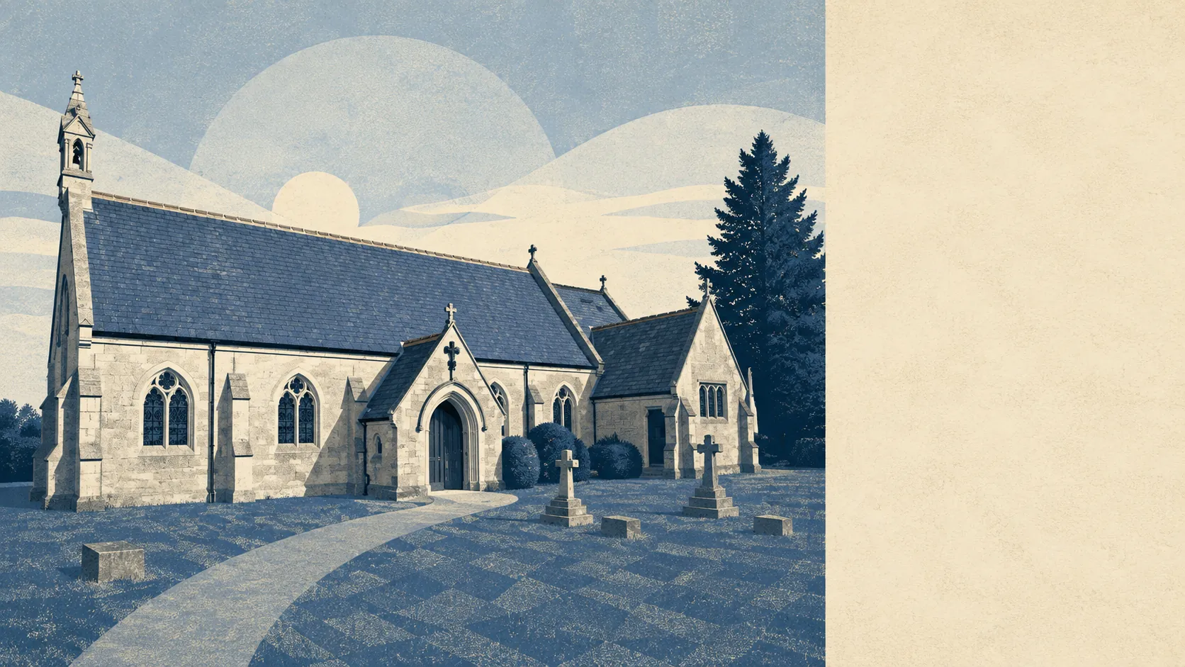
Green, wet, and quietly excellent. Most homes sit a few hundred metres from open green space, with around seven separate patches of it inside a kilometre. Water is closer than the shops. The surrounding parishes carry names like Crab Orchard, Crooked Withies and Knob's Crook, which gives you a fair sense of how much has happened out there since the burial mounds went in. The land around West Moors is the best thing about living in West Moors.
On green space, the average postcode sits around 260 metres from the nearest patch, with around 7 distinct green spaces within a kilometre. That is not one municipal park doing service for a whole village. It is heath, common and scattered open ground on most sides, close enough that walking to it is the default rather than an outing.
Water is the surprise. The average postcode is around 425 metres from blue space, with around 29 separate bits of it within a kilometre. That is a landscape stitched with streams, ponds and drainage channels, which is what the name of the place has been quietly telling everyone for centuries.
For getting out into it under your own power, the National Cycle Network sits around 1.2 kilometres from the average postcode, and around 30% of postcodes count as close to it. There is no ancient woodland in the area, so the tree cover here is heath and plantation rather than anything that has stood since the Domesday survey.
The amenity mix across the surrounding area runs to around 490 office premises, around 420 shops, 48 pubs and 18 restaurants on the valuation list. Within the West Moors area itself, the list holds 161 rateable premises in total. Those are premises with a rating assessment rather than businesses currently trading, so read them as the shape of the local economy rather than a directory of what is open on a Tuesday. The ratio is the interesting part: a great many offices and shops, not many places to eat dinner. This is an area that works and shops locally and drives elsewhere to be fed.
Air quality is good and unremarkable, which is the correct outcome. Fine particle levels for the council area averaged around 5.5 micrograms per cubic metre in 2024. That is a council-wide figure rather than a reading from any particular road in the village.
For character, West Moors sits between Ferndown and Verwood on the northern edge of the Poole and Bournemouth conurbation, with Ashley Heath, St Leonards, West Parley and Longham forming the ring of settlements around it. Three Legged Cross, covered by this page, extends the same arrangement northwards. Hampreston, the nearest conservation area, is the one corner of the surroundings where the buildings rather than the landscape are doing the work. The overall effect is a village with towns on two sides and heath on the others, which is why it manages to feel remote without being remote.
Private outdoor space is the part nobody publishes and everybody wants. Gardens here run to around 186,000 square metres per 1,000 residents, which is a large amount of privately owned grass for a place this size. Green space at the end of the road is pleasant. Green space behind the house is what people actually buy.
For eating out, 47 premises in the area carry a food hygiene rating, of which around 94% hold the top score and none sit in the bottom bands. That is a strong record across a small number of places, so the choice is limited rather than risky.
On formal designations, there is no area of outstanding natural beauty here and no ancient woodland. A sliver of the area, under 1%, clips Parley Common, a site of special scientific interest. The countryside around West Moors is not protected landscape in the official sense. It is simply there, in quantity, and unprotected land is exactly the kind that planning committees make decisions about.
The surroundings are the standout feature of this place. Green space within a short walk, water almost everywhere, and gardens generous enough that the countryside is a bonus rather than the whole offer.