Waltham Cross is surrounded by more green space and water than its motorway-and-printworks reputation suggests. A park is a short walk from almost every door. The river and its reservoirs are close behind. The High Street does the shopping, and the Lee Valley does everything else. People come for the trains and stay for the towpath.
On average, a home in Waltham Cross is about 120 metres from the nearest public green space, and about 24 green spaces lie within a kilometre. That is a park at the end of most roads and a choice of them within a short stroll. Very few commuter towns can offer a dog that many options before breakfast.
Water is almost as close. The nearest river, lake or reservoir averages about 330 metres from home, and about 83 stretches of water lie within a kilometre, most of them along the River Lee and its reservoirs on the eastern side of town. Waltham Town Lock is the landmark, and the white-water course built beside it for the Olympics is still open to anyone willing to pay to fall out of a raft.
The National Cycle Network is about 770 metres away on average, and about 17% of postcodes are close to a route. The river corridor is the obvious way in, flat enough that the only hill in a ride is the bridge.
Property records for the area list 545 shops, 29 pubs and 37 restaurants, enough for a town that serves as Broxbourne's shopping centre and a stop for London buses. The High Street is pedestrianised, with chain stores and independents alongside a covered mall, and a market runs on Wednesdays and Fridays. Fishpools, the furniture shop, has been on the High Street since 1899, which makes it older than the borough and better at upholstery.
Broxbourne's fine-particle air pollution averaged about 7.6 micrograms per cubic metre in 2024, a figure for the whole council area, and it will run higher next to the motorway than by the reservoirs.
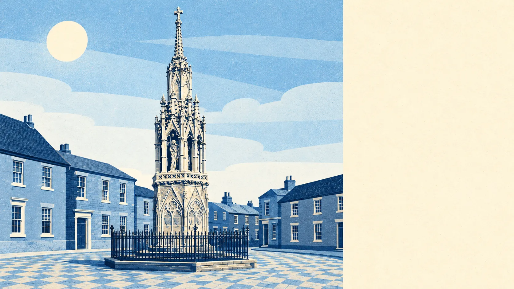
The feel of the area changes within a walk. The town centre is busy and practical, with the Eleanor Cross standing in the middle of the shoppers and the four swans hung over the street. Just outside town, the remains of Theobalds Palace survive as a scheduled monument, and Forty Hall and the gardens at Myddelton House are within reach on the London side. Cheshunt, Waltham Abbey and Enfield Lock meet the town at its edges, so the boundary is easier to find on a map than on foot. A royal palace, a medieval memorial and a furniture shop all within a mile is quite a range for one postcode.
Private gardens are modest. Waltham Cross has about 49,000 square metres of garden for every 1,000 residents, which fits a town of terraces and flats where the public parks do the heavy work the back gardens can't. Families wanting a lawn big enough for a full-size goal will find it nearer to Cheshunt.
The business rates list counts 442 premises in the town. Shops lead with 174, followed by 53 and 22 premises in two industrial categories, 41 warehouses and 39 offices. These are premises on the valuation list, so some will be empty and others repurposed, but the mix describes a working town with its own trade and its own units.
The Food Standards Agency has rated 98 places to eat, and about 88% of them hold the top hygiene score, with only about 2% near the bottom. The kitchens here are cleaner than the town centre's reputation would have anyone believe.
No area of outstanding natural beauty, site of special scientific interest or ancient woodland overlaps Waltham Cross. The green space here is made for use, with parks, towpaths and reservoirs that people walk through every day, and none of it is preserved behind a fence for the herons.
The surroundings are one of Waltham Cross's real strengths, a river valley full of parks and water tucked into the edge of a busy town, closer to most front doors than the station is.