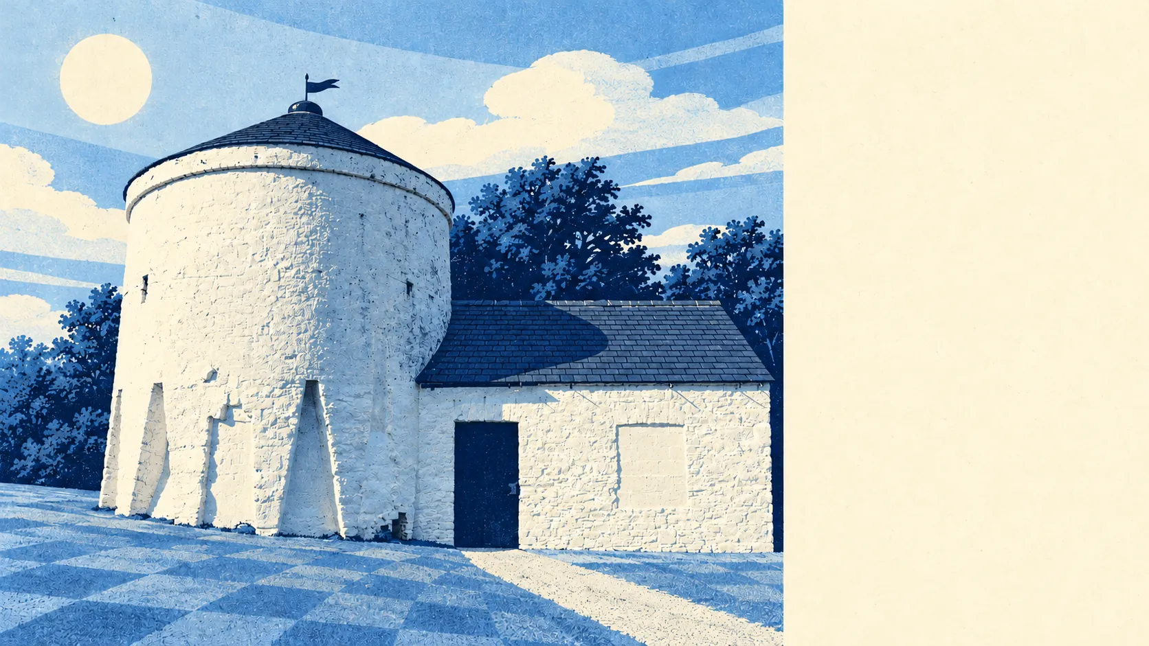
The area around Waltham Abbey is mostly green and wet, in a good way. A park is usually a couple of minutes' walk from the front door. Water is barely further. The Lea valley lies to the west and the forest to the east. The town is the built-up strip between two very large back gardens.
The typical home in Waltham Abbey is about 140 metres from the nearest public green space, with about 18 green spaces within a kilometre. That is park-at-the-end-of-the-road territory for most of the town, before anyone counts the forest climbing towards High Beach, where the forest's conservation centre hands out maps to walkers.
Water is about 180 metres from the typical home, and there are about 84 separate stretches of it within a kilometre. Most of that is the Lee Valley Park to the west, where the old gravel pits have been turned over to recreation and nature conservation, plus the King George V Reservoir to the south-west and Cobbins Brook running across the parish. A local legend has Boudica poisoning herself with hemlock gathered on the banks of Cobbins Brook, which remains the worst use anyone has made of the local countryside.
The National Cycle Network is about 1.3 kilometres from the typical home, and about 23% of the area lies close to it. National Cycle Route 1 runs up the valley on the riverside paths, linking the town with Cheshunt, Hoddesdon, Ware and Stratford, so a reasonably fit cyclist can reach east London without much traffic on the way.
Private gardens are generous as well. The town has about 85,000 square metres of garden for every 1,000 residents, which reflects post-war houses on proper plots more than flats with balconies. The public green space is close by, and most families also have some of their own.
The valuation list shows what the town is made of. Waltham Abbey has 529 rateable premises, among them 220 offices, 132 shops, 15 pubs and 15 restaurants. Those are premises on the rating list, which counts buildings and units whether or not anything is trading in them today. The mix leans towards offices and shops, and the 15 pubs set against 15 restaurants tell you the town still does most of its socialising at the bar.
Of the 101 food premises rated for hygiene, about 82% hold the top score of five, and about 2% sit at the bottom of the scale. That leaves a town where a takeaway rarely needs a second thought.
Across the surrounding council district, fine-particle air pollution averaged about 7.7 micrograms per cubic metre in 2024, a district-wide reading that covers the forest villages as well as the motorway corridor.
The character comes from the edges. To the east, Upshire has its Arts and Crafts church of St Thomas and the Horseshoe pub on Horseshoe Hill, with the forest around it. To the west, Holyfield and the Lee Valley Park are reed beds and lakes. In the middle, the Royal Gunpowder Mills runs living history and battle re-enactment events most summer weekends, and the old abbey grounds give the town centre its quieter corners. Sewardstone to the south is a hamlet with London on its doorstep. Most of the parish lies in the Metropolitan Green Belt, which is why the countryside starts so abruptly at the end of the housing.
The town's own boundary contains no protected landscape designation at all: no area of outstanding natural beauty, no site of special scientific interest and no ancient woodland. Waltham Abbey's green space is the ordinary, usable kind, parks, lakes and riverside paths, and the more famous protected forest sits alongside the town.
The surroundings are the best thing about Waltham Abbey. Few towns this close to London put a forest, a river park and a reservoir within such easy reach of so many front doors.