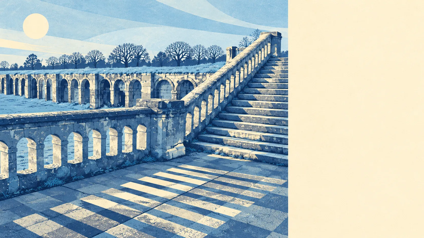
Upper Norwood is a fair, middling bet: a hilltop of parks and Victorian churches that makes you work for every train. A park is a minute from most front doors, and crime runs well below the rest of Croydon. The trains are what you pay with, because every station is somewhere down the slope. It works for people who want a park more than a platform, and who are happy to climb home.
About half the households own their home, the typical resident is 38, and the Office for National Statistics models average household income at about £73,000 a year before tax for the financial year to March 2023. Most people here are mid-career, and owners and renters split roughly evenly. The hill has drawn people from the arts for a long time. Ira Aldridge, the Shakespearean actor billed as the "African Roscius", lived at 5 Hamlet Road in 1861 and 1862 and has a blue plaque there. Thomas Attwood, organist at St Paul's, had Felix Mendelssohn to stay at his house on Beulah Hill. Long before either of them, Pablo Fanque walked a tightrope at the Beulah Spa gardens in 1834, and the spa closed once the Crystal Palace arrived up the road and took its crowds.
Plenty of that history is still standing, and it comes with paperwork. Historic England lists 57 buildings in and around the area, one of them Grade I and three Grade II. Among the Grade II buildings is John Loughborough Pearson's St John the Evangelist on Sylvan Road. Twelve conservation areas reach into the district, including Church Road, Beulah Hill, Harold Road and Gipsy Hill, and seven entries are on the Heritage at Risk register. Inside those boundaries the council looks harder at changes to windows, roofs and frontages. In much of Upper Norwood the original sash windows have more say than the people living behind them.
Prices reflect the mix. According to the Land Registry, 293 homes sold in the year to May 2026 at a median of about £450,000, and 202 of those sales were flats. Flats went for about £393,000, terraced houses for about £650,000, semis for about £758,000, and the nine detached houses for about £885,000. Moving from a flat to a terrace is the most expensive staircase in a district that already has plenty of them. Band C is the most common council tax band, and about 28% of homes are in bands A or B. Renters should know that Croydon puts its typical private rent at about £1,560 a month across the whole borough, up about 4% on a year earlier as of April 2026. That borough-wide figure covers a lot of ground that looks nothing like this hill.
The council-tax list says what you would be buying. About 64% of homes are flats, 18% terraced, 12% semi-detached and 5% detached, and about 37% were built before 1930. About half of the homes with an energy certificate are rated C or better, and about 11% are E or below, the usual result when draughty period houses are counted next to post-war blocks. Three-quarters of homes heat with mains gas and about 11% with electricity alone. Check which group a flat falls into before the heating bill does it for you.
Transport is where the hill costs you. The slopes put the railway builders off, and the old Crystal Palace High Level terminus closed in 1954. Crystal Palace station is still there, a long flight of steps below the ridge, and Gipsy Hill and West Norwood stations are further down, so most people take a bus to their train. There are 151 bus stops, the average stop sees about 327 departures on a weekday and around 18 an hour at peak, and every one of them runs at weekends. In the 2021 Census about half of working residents worked from home, 9% commuted by train, 10% by bus and 17% by car, and about four in ten households have no car. Gigabit broadband reaches about 79% of premises, and superfast about 95%. Crystal Palace Parade does the job a Tube station would, with more waiting and a better outlook.
Flooding is the weakest part of the picture. About 25% of postcodes are rated high risk on at least one flood indicator, surface water included, and another 23% medium. None of the area falls inside the Environment Agency's river-and-sea flood zones. On a hill, the water problem is rain running off on its way down. The River Effra still runs under Upper Norwood Recreation Ground, covered over in the 1940s, and the rain had its own routes down this hill long before anyone built houses on it.
Safety is better than the borough. The Metropolitan Police recorded about 89 crimes per 1,000 residents in the twelve months to May 2026, about 19% below the Croydon average. Anti-social behaviour accounts for about 24% of reports against 16% nationally, and vehicle crime for about 10% against 5%. Here the cars have a harder time than their owners.
The surroundings are the best reason to live here. The average home is about 110 metres from green space, with around 38 green spaces within a kilometre and water about 750 metres away. Crystal Palace Park is on the eastern side, and Upper Norwood Recreation Ground and the remaining woodland are scattered between the streets. Norwood is a shortened form of "North Wood", after the Great North Wood that once covered the area, and a good deal of the wood never left.
Overall, Upper Norwood is an average place to live with an unusually good back garden. A buyer gets parks, trees and Victorian streets within a few minutes' walk of nearly every door. They also get a hillside that sends surface water down certain roads, so the exact street matters more than the postcode. It is the right move for a household that works from home, walks the dog in Crystal Palace Park and goes into town twice a week. Anyone who needs a fast train every morning would do better to buy at the bottom of the hill.