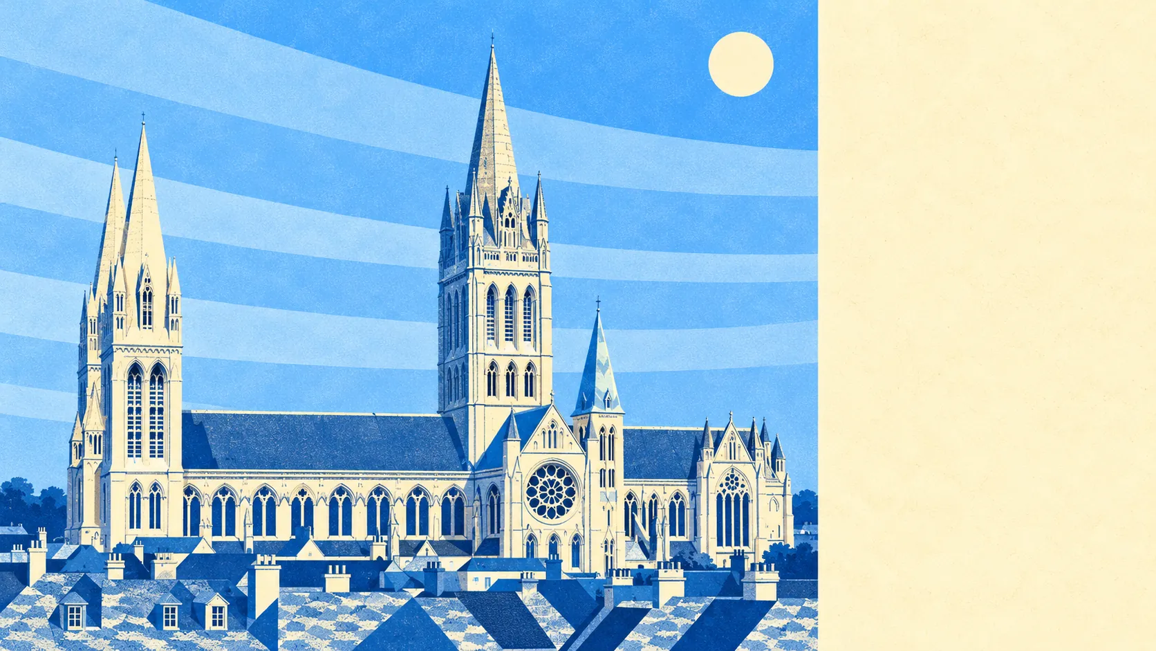
The countryside is the best thing Truro has. Woods and open ground press right up against the streets on three sides. The river turns into creeks within a couple of miles of the shops. Water is closer to the average front door than the nearest bus stop for most people. The city itself is the functional part, and the ring around it is why anyone puts up with the one-way system.
Green space is unusually close. The average postcode here sits about 180 metres from a green space, with around 22 separate sites within a kilometre. That is not one large park doing all the work. It is the valley floor and both slopes, Daubuz Moors by the River Allen, the wooded ground at Idless, and a scatter of smaller pockets threaded between the housing.
Water is closer still. The average postcode is about 270 metres from blue space, with roughly 70 water features within a kilometre. Two rivers meet in the middle of the city and run out into a drowned valley of creeks below it, past Malpas and Calenick Creek towards Trelissick and Tregothnan. Very few inland towns have that many separate bits of water within walking distance, and fewer still have them tidal.
For getting out into it on wheels, the National Cycle Network runs about 410 metres from the average postcode, and roughly 70% of postcodes sit close to it. The Newham Trail loops around the south side of the city on the old railway alignment, which is the flattest route anyone in a valley town is going to find. There is no ancient woodland recorded in the area.
The high street behind all this is bigger than the population suggests, because it serves the county rather than the city. The valuation list carries 491 shop premises, 48 pubs and 41 restaurants, alongside 630 offices, which is the administrative half of Truro showing up in the rating data. There are also 675 premises rated as holiday lets across the area, a number that tells you something about where the housing stock has gone.
Air quality is good. Fine particle concentrations for the Cornwall council area averaged about 5 micrograms per cubic metre in 2024, which is a rural-coastal reading rather than an urban one.
The texture changes fast as you leave. Highertown, Treliske and Gloweth run west along the main road towards Threemilestone, Kenwyn and Idless sit in the wooded valley to the north, Newham and Malpas take the water to the south, and Shortlanesend, Tresillian, Playing Place, Carnon Downs, Devoran and Perranarworthal are all lanes-and-hedges within a short drive. You can be in properly rural Cornwall in under ten minutes from the cathedral, which is the whole argument for living here.
Private outdoor space holds up too. The area carries around 116,000 square metres of private garden per thousand residents, which is a lot of lawn for somewhere that calls itself a city, and a reflection of how much of the stock is post-war housing on generous plots rather than terraces with a yard.
For eating, the Food Standards Agency has rated 211 premises in the area, of which about 76% hold the top score and roughly 5% sit at the bottom of the scale. That is a healthy spread for a place that feeds a whole county's worth of shoppers on a Saturday.
Worth saying plainly: none of this comes with a designation. No area of outstanding natural beauty overlaps the area, no site of special scientific interest, no ancient woodland. This is ordinary working Cornish countryside rather than protected landscape, which means nobody is coming to photograph it and you will not be sharing the footpath with a coach party.
The surroundings are the standout thing about living here, comfortably. Green in every direction, tidal water at the end of the road, and a countryside that nobody has designated, gated or put a visitor centre in.