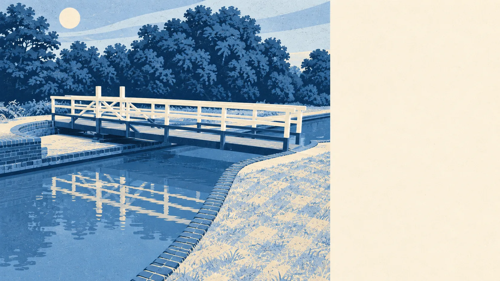
The area around Theale is mostly water and parkland, with an office estate at one end. Green space is a short stroll from almost every door. Dozens of lakes and stretches of water sit within a kilometre. The offices outnumber the pubs. Step past the business park and the countryside here is some of the best on offer to a commuter village.
The average Theale home is about 170 metres from the nearest public green space, and it has about 11 green spaces within a kilometre. That is a walk to the end of the road, not a drive to a country park. To the north there is a golf course, and to the west are fields belonging to the Englefield Estate, whose registered park and garden at Englefield House is close by.
Water is about 300 metres away for the average home, and there are about 51 lakes, ponds and waterways within a kilometre. The river meadows were dug for gravel in the last century, and the pits flooded into the chain of lakes that now runs along the valley. Hosehill Lake, a local nature reserve, is just across the canal. Garston Lock and Sheffield Lock take the Kennet & Avon Canal past the parish. Many villages list a duck pond among their attractions. Theale has so much water that it barely bothers to mention it.
The nearest point on the National Cycle Network is about 940 metres from the average home, and about 10% of postcodes sit close to it. There is no ancient woodland in the area. Further Clayhill Copse, the one named wood left in the parish, is a fragment tucked beside the golf course.
Across the wider postcode district, the valuation list includes 83 shops, 32 pubs and 3 restaurants. Pubs outnumbering restaurants by that much tells you what kind of evening out the area was built for. The Falcon, one of the old coaching inns, is still trading on the High Street, and the Bull, once the brewery's tap house, is still there too.
Fine-particle air pollution across West Berkshire as a whole averaged about 6 micrograms per cubic metre in 2024. That is a council-area figure, not a reading from any Theale street.
The village has two characters, divided by the bypass. North of it are homes and the High Street, a run of red-brick Victorian and Georgian frontages from the days of the Bath Road coaches and Blatch's brewery. South of it are the business park, the lakes and the canal. Nearby, Englefield, Sulham and Tidmarsh keep the countryside close, and Calcot and Tilehurst mark where Reading's edge begins.
Private gardens are generous. The area has about 156,000 square metres of garden per 1,000 residents, so most homes come with their own outdoor space rather than depending on the parks.
The valuation list carries 602 rateable premises in the area, and offices are the largest group. They are premises on the list, not necessarily businesses trading today. Theale earns its commuter-village label from its fibre, and the business park makes it true from the other direction.
The Food Standards Agency has rated 33 food premises here. About 88% hold the top hygiene score and about 6% sit at the low end. Most places are clean, and it is worth checking the rating sticker on the door of the rest.
No protected landscape overlaps Theale: no area of outstanding natural beauty, no site of special scientific interest and no ancient woodland. That is not a fault. The water and the walks here are ordinary, well-used local countryside rather than landscape protected for its own sake.
Theale's surroundings are one of its real strengths. The lakes, canal and parkland start a few hundred metres from most front doors.