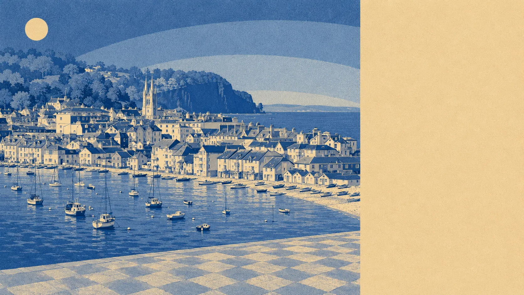
The area around Teignmouth is the strongest part of the case for living in it. Green space starts about 150 metres from the average front door. Water starts barely further than that. Behind the town the ground climbs towards Little Haldon, and none of it carries a protected landscape designation of any kind. The outdoors here is not an outing you schedule. It is what happens when you leave the house.
Across the town's postcodes, the average one has about 15 separate areas of green space within a kilometre, with the nearest about 155 metres away. That distribution matters more than the headline number. It is not one large park with the rest of the town looking at it from a distance; it is a scatter of small spaces, which is the difference between somewhere you drive to on a Sunday and somewhere you walk through on a Tuesday.
Water is closer still by the standards of most towns. The average postcode sits about 344 metres from blue space, with roughly 41 separate stretches of it within a kilometre, which is what happens when a town has the sea along one edge and the estuary of the River Teign along the other. The Den, the grassy open space behind the seafront, and the Salty, the tidal sandbank that emerges in the harbour, are both part of the daily geography rather than attractions.
Cycling is the one outdoor thing the area does not hand you. The nearest National Cycle Network route averages about 4.6 kilometres away, and no postcode in the town counts as close to it. Riding here means using the roads and the seafront rather than a dedicated network.
The high street is more substantial than the population suggests. The rating list records 206 shops, 23 pubs and 11 restaurants in the area, which is a working town centre rather than a parade of estate agents and charity shops with a chemist at the end.
Air quality is unremarkable in the way coastal towns tend to be. Fine particle pollution across the Teignbridge council area averaged 5.2 micrograms per cubic metre in 2024.
The surrounding villages are the other half of the offer. Shaldon sits directly across the estuary, reached by the bridge or the passenger ferry, with the red sandstone headland of The Ness behind it. Holcombe sits up the coast towards Dawlish, and Bishopsteignton, Combeinteignhead, Stokeinteignhead and Ringmore string along the estuary inland, a set of names that sound like a firm of provincial solicitors and look like the Devon on the front of the biscuit tin. Coombe Cellars sits on the estuary itself, and Teignmouth Lido gives the seafront a heated open-air pool, which is not a sentence available to most English seaside towns.
Private outdoor space is generous too. Gardens across the town's neighbourhoods work out at about 132,000 square metres for every 1,000 residents, which is genuine private ground rather than a paved strip and somewhere to put the bins, and it holds up despite the terraced stock in the centre.
As for what is actually here, the valuation list carries 548 rateable premises in total, including 59 offices and 125 holiday lets. Those are premises on the list rather than businesses trading this morning, and the holiday-let count against 23 pubs tells you which way the town's economy leans in August.
Eating out is dependable. Of 124 premises with a food hygiene rating, 86% hold the top score and 1% sit at the bottom, so the odds of a bad decision are low and the ones that exist are findable on the register.
Worth stating plainly: no area of outstanding natural beauty, no site of special scientific interest and no ancient woodland overlaps the town. That is not a shortfall. It means the countryside around Teignmouth is ordinary working countryside, unmanaged by anybody with a designation to defend, and open to be walked in rather than admired from a viewing point.
The surroundings are the best thing Teignmouth has, and by a clear margin: sea one way, estuary the other, green space in every direction and a stack of villages behind it that most people only find by taking a wrong turn.