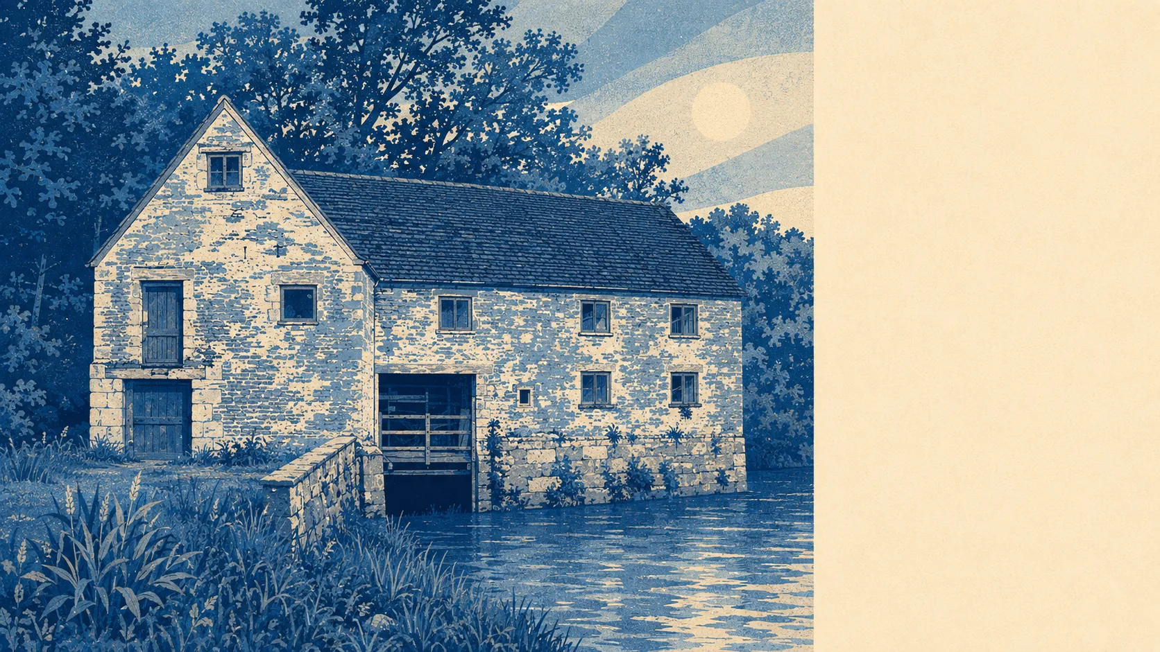
Properly rural, and generous about it. Green space begins a couple of hundred metres from the average front door. Water is not much further out. The lanes run to places called Glue Hill, Knackers Hole and Rivers' Corner, which is a fair measure of how hard this area has ever tried to impress an outsider. The countryside here gets walked on rather than photographed from a lay-by.
On the mapped access measures, the nearest green space averages roughly 165 metres from a home, with about 15 separate patches within a kilometre. That is not one park serving an entire town. It is a place with fifteen different ways of getting out of it.
Open water averages about 390 metres away, with roughly 14 separate water features within a kilometre. The Stour accounts for most of that, and Stour Meadows on the river's edge is the default walk for anyone who has lived here longer than a fortnight.
The National Cycle Network runs close by. About 66% of postcodes sit near a route, and the average distance from a postcode to one is roughly 435 metres, which is short enough that the bike in the shed has no excuse.
The rating list shows what the high street is made of: 72 shop premises, 12 pubs and one restaurant. Twelve pubs against a single restaurant is as clear a statement of local priorities as any dataset will ever give you.
Fine particle pollution averaged about 5.5 micrograms per cubic metre across the council area in 2024. That is a council-area figure rather than a reading taken at the end of your road.
The character of the place comes from water and stone. The Town Bridge carries the road over the Stour, King's Mill sits along the river, Fiddleford Manor and the hillfort on Banbury Hill are protected in their own right, and conservation areas cover Hinton St Mary and Okeford Fitzpaine as well as the town itself. Beyond those, the map is villages: Marnhull, Stalbridge, Manston, Hammoon, Bagber, Puxey and a dozen hamlets that amount to a farm, a lane and a name older than most counties.
Private outdoor space is the part the public figures never mention. Gardens here run to roughly 214,000 square metres per 1,000 residents, which is a different category of living from a shared square and a balcony that fits one chair.
The valuation list carries 174 rateable premises across the area, among them 39 offices and 36 holiday lets. Those are premises on a list rather than businesses trading this morning, but a holiday-let count at that level tells you the Blackmore Vale is somebody else's fortnight as well as your postcode.
Of the 34 food premises carrying a published hygiene rating, about 97% hold the top score and none sits at the bottom of the scale. For a town with twelve pubs, that is a decent showing.
No protected designation falls inside the area: no area of outstanding natural beauty, no site of special scientific interest within the boundary, and no ancient woodland. That absence is worth knowing rather than mourning. The designated woodland lies southeast of the town, beyond the mapped area, and everything between is working farmland rather than scenery held in trust for visitors.
The surroundings are the best thing about living here by a distance: green at the end of every street, water a few hundred metres out, and a vale that has been earning its living for a thousand years without ever needing a designation to prove it was worth looking at.