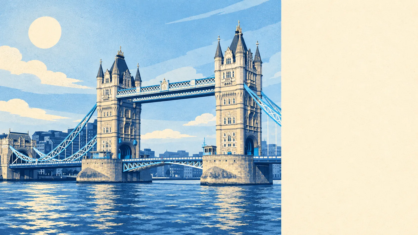
Southwark gives back about as much as it takes. It gets you across London fast, and London returns the favour by coming round to go through your pockets. At peak the average bus stop sees about 35 buses an hour, and seven in ten households don't own a car. Recorded crime runs about 70% above the borough average, and roughly a fifth of it is theft straight from someone's person. That leaves a superb map and a nervous pocket.
Transport is the case for living here. London Bridge, Waterloo, Waterloo East, London Blackfriars and Elephant & Castle all ring the district, and the bus network is dense enough to be a nuisance. There are 450 stops, the average one sees about 660 departures on a weekday, and about 98% of stops with timetable data run a weekend service. Car ownership never really took hold. About 71% of households have no car and only about 4% run more than one. At the 2021 Census, taken mid-pandemic, about 52% of working residents worked from home and about 6% drove. Gigabit-capable broadband reaches about 86% of premises and superfast about 94%. The district began as the south end of the only bridge across the river, and it still behaves like a junction with flats attached.
All that footfall shows up in the Metropolitan Police's published figures. Recorded crime ran at about 268 per 1,000 residents in the year to May 2026, roughly 70% above the Southwark average of about 158. The mix is what gives it away. Theft from the person makes up about 22% of crime here, against about 2% across England and Wales, and other theft about 15% against 7%. Violence and sexual offences are a smaller share than nationally, about 18% against 35%. Across the whole force, the Met charged someone in about 10% of cases over the same year, against about 12% nationally, which puts it 33rd of 42 forces. The thieves also get better odds on the getaway.
Historic England lists 940 buildings here, 34 of them at Grade I. Among them are Southwark Cathedral, the George Inn and the remains of Winchester Palace. There are 71 conservation areas in and around the district, Borough High Street, Bermondsey Street, Bear Gardens and Trinity Church Square among them, plus 18 scheduled monuments that include the buried Globe and Rose theatres. Fourteen entries are on the Heritage at Risk register. Inside those lines, new windows, roofs and shopfronts go to Southwark's planners first. Bankside once came with bear-baiting. These days the blood sport is a listed building consent application, and the odds still favour the house.
On paper, Southwark is Thames floodplain. The Environment Agency puts about 93% of postcodes in its highest river-and-sea flood zone and about 4% in zone 2. Its property-by-property assessment of river and sea flooding counts the defences, and it rates 33 properties at high risk, none of them homes, with around 41,000 at very low risk. On the wider postcode indicators, which include surface water, about 10% of postcodes carry a high flag on at least one measure and about 31% a low one. The latest flood on the Agency's records dates from 1928, when the river came over the defences. The walls have held since, a fact the zone map politely leaves out.
The people who live here are young and mostly rent. About 22% of households own their home, while private and social renting account for about 38% and 37%. The typical resident is about 32, about 56% hold a degree, and the Office for National Statistics models typical gross household income across the area at about £67,500 for the financial year to March 2023. Newington and Bermondsey sit inside the same spread as the river frontage at Bankside and the South Bank. The council block and the converted warehouse share a postcode and often a bus stop.
The schools are the pleasant surprise. The district's 13 primaries average about 107 in the Key Stage 2 maths test, and its eight secondaries post an Attainment 8 score of about 48. Across Southwark as a whole, Ofsted has graded 47 schools and rated 46 of them good or outstanding. Local names include Snowsfields Primary School, The Cathedral School of St Saviour and St Mary Overie, St Saviour's and St Olave's Church of England School and Notre Dame Catholic Girls' School. On the Department for Transport's 2019 modelling, the nearest primary is about a five-minute walk and the nearest secondary about seven. Only about 9% of households are couples with children, so the playgrounds have more room than the pubs.
The Land Registry recorded 483 sales in the year to May 2026, at a median of about £565,000. Flats made up 441 of them, at a median of about £545,000. The 38 terraced houses fetched about £916,000, and only four semis changed hands at all. The official house price index has the average up about 1% on a year earlier. Band B is the most common council tax band, about 31% of homes are in bands A or B, and Southwark charges about £1,970 a year at band D. In a district this old, a whole house is the rarest listed thing of all.
Most people here rent. Across the Southwark council area, which takes in Peckham and Walworth as well as the riverside, the Office for National Statistics puts typical private rent at about £2,400 a month as of April 2026, up about 1.3% on a year before. A one-bed runs to about £1,800 and a two-bed about £2,300.
Nearly everything is a flat. The council-tax valuation list counts about 90% of dwellings as flats and about 7% as terraced houses, and only about 14% were built before 1930. The energy certificates are kinder than the district's age would suggest, with about 77% rated A to C, and late-twentieth-century blocks are the most common age. Only about 49% of homes are on mains gas, though, and about 28% rely on electric heating alone. That shows up on the bills, and the particulars never photograph a bill.
Outdoor space here is mostly public. The average home is about 90 metres from green space, with about 77 patches inside a kilometre, and water about 480 metres away. Private gardens come to about 6,600 square metres per 1,000 people. Your garden is a park and your patio is the riverside.
The Romans put the first bridge across here, and in 2004 a dig on Tabard Street turned up a plaque with the earliest known reference to Londoners. Southwark was talking about the people across the river before anyone else was. Its list of notable people runs from Michael Caine to Joey Essex, with Lucy Worsley and Keir Starmer in between.
Southwark is right for someone who works in or near the centre, walks or takes the bus everywhere, and is happy with a flat, a shared front door and a crowd outside it. Families after a house with a garden, and anyone who checks the crime map before the floor plan, should look further south. Overall it's a middling place to live. The connections are first class, and the catch is that everyone else uses them too, including the people after your phone.